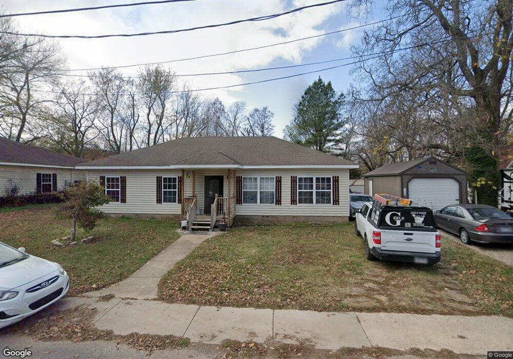
153 Maple Ave West Fork, AR 72774
Estimated Value: $194,000 - $267,000
3
Beds
2
Baths
1,224
Sq Ft
$184/Sq Ft
Est. Value
About This Home
This home is located at 153 Maple Ave, West Fork, AR 72774 and is currently estimated at $224,965, approximately $183 per square foot. 153 Maple Ave is a home located in Washington County with nearby schools including West Fork Elementary School, West Fork Middle School, and West Fork High School.
Ownership History
Date
Name
Owned For
Owner Type
Purchase Details
Closed on
Jan 24, 2008
Sold by
Mab Builders Inc
Bought by
Risner Michael J and Risner Donna M
Current Estimated Value
Home Financials for this Owner
Home Financials are based on the most recent Mortgage that was taken out on this home.
Original Mortgage
$134,277
Outstanding Balance
$84,537
Interest Rate
6.11%
Mortgage Type
VA
Estimated Equity
$140,428
Purchase Details
Closed on
Jun 26, 1996
Bought by
Murphy Robby Joe and Murphy Kimberly
Purchase Details
Closed on
Jun 11, 1991
Bought by
Cantrell Floyd C
Purchase Details
Closed on
Jan 1, 1985
Bought by
Cantrell James
Create a Home Valuation Report for This Property
The Home Valuation Report is an in-depth analysis detailing your home's value as well as a comparison with similar homes in the area
Home Values in the Area
Average Home Value in this Area
Purchase History
| Date | Buyer | Sale Price | Title Company |
|---|---|---|---|
| Risner Michael J | $130,000 | Heritage Land Title Of Ar | |
| Murphy Robby Joe | $33,000 | -- | |
| Cantrell Floyd C | $30,000 | -- | |
| Cantrell James | -- | -- |
Source: Public Records
Mortgage History
| Date | Status | Borrower | Loan Amount |
|---|---|---|---|
| Open | Risner Michael J | $134,277 |
Source: Public Records
Tax History
| Year | Tax Paid | Tax Assessment Tax Assessment Total Assessment is a certain percentage of the fair market value that is determined by local assessors to be the total taxable value of land and additions on the property. | Land | Improvement |
|---|---|---|---|---|
| 2025 | $761 | $33,540 | $5,000 | $28,540 |
| 2024 | $799 | $33,540 | $5,000 | $28,540 |
| 2023 | $822 | $33,540 | $5,000 | $28,540 |
| 2022 | $813 | $24,010 | $3,000 | $21,010 |
| 2021 | $761 | $24,010 | $3,000 | $21,010 |
| 2020 | $709 | $24,010 | $3,000 | $21,010 |
| 2019 | $658 | $19,450 | $3,000 | $16,450 |
| 2018 | $683 | $19,450 | $3,000 | $16,450 |
| 2017 | $616 | $19,450 | $3,000 | $16,450 |
| 2016 | $574 | $19,450 | $3,000 | $16,450 |
| 2015 | $532 | $19,450 | $3,000 | $16,450 |
| 2014 | $490 | $16,270 | $3,000 | $13,270 |
Source: Public Records
Map
Nearby Homes
- 224 Maple Ave
- 0000 Highway 170
- 185 Wheeler St
- 0 W Smith St Unit 1334508
- 327 W Smith St
- 385 W Smith St
- 365 W Smith St
- 353 W Smith St
- 222 Rivendale Dr
- 503 Clark Ave
- 338 Hidden Creek Place
- 846 James Place
- 67 S Red Oak Ave
- 815 James Place
- 260 Culp Trail
- 13582 S Highway 170
- 696 E Thornstone Ave
- 13653 W Mountain Rd
- 161 Maple Ave
- 147 Maple Ave
- 154 Maple Ave
- 162 Maple Ave
- 121 Maple Ave
- 120 Maple Ave
- 232 Webber St
- 189 S Campbell Ave
- 192 Maple Ave
- 227 Webber St
- 105 Maple Ave
- 242 White St
- 100 Maple Ave
- 290 Phillips St
- 215 Webber St
- 159 Williams Ave
- 230 White St
- 296 Phillips St
- 212 White St
- 000 Mcknight Ave Unit 10662 Union Star Chu
Your Personal Tour Guide
Ask me questions while you tour the home.