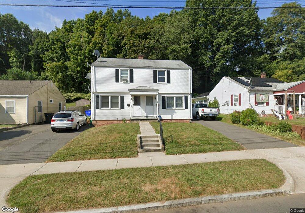
153 Mayflower St West Hartford, CT 06110
Estimated Value: $313,059 - $411,000
4
Beds
2
Baths
1,584
Sq Ft
$234/Sq Ft
Est. Value
About This Home
This home is located at 153 Mayflower St, West Hartford, CT 06110 and is currently estimated at $370,765, approximately $234 per square foot. 153 Mayflower St is a home located in Hartford County with nearby schools including Webster Hill School, Sedgwick Middle School, and Conard High School.
Ownership History
Date
Name
Owned For
Owner Type
Purchase Details
Closed on
Oct 23, 2019
Sold by
Aniolowski John R and Aniolowski Kathleen L
Bought by
Kay Property Llc
Current Estimated Value
Purchase Details
Closed on
Apr 15, 2013
Sold by
Decasperis Frederick J and Decasperis James A
Bought by
Aniolowski John R and Aniolowski Kathleen L
Home Financials for this Owner
Home Financials are based on the most recent Mortgage that was taken out on this home.
Original Mortgage
$125,999
Interest Rate
3.55%
Create a Home Valuation Report for This Property
The Home Valuation Report is an in-depth analysis detailing your home's value as well as a comparison with similar homes in the area
Home Values in the Area
Average Home Value in this Area
Purchase History
| Date | Buyer | Sale Price | Title Company |
|---|---|---|---|
| Kay Property Llc | -- | -- | |
| Aniolowski John R | $180,000 | -- |
Source: Public Records
Mortgage History
| Date | Status | Borrower | Loan Amount |
|---|---|---|---|
| Previous Owner | Aniolowski John R | $125,999 |
Source: Public Records
Tax History Compared to Growth
Tax History
| Year | Tax Paid | Tax Assessment Tax Assessment Total Assessment is a certain percentage of the fair market value that is determined by local assessors to be the total taxable value of land and additions on the property. | Land | Improvement |
|---|---|---|---|---|
| 2025 | $6,082 | $135,830 | $44,200 | $91,630 |
| 2024 | $5,752 | $135,830 | $44,200 | $91,630 |
| 2023 | $5,558 | $135,830 | $44,200 | $91,630 |
| 2022 | $5,526 | $135,830 | $44,200 | $91,630 |
| 2021 | $5,440 | $128,240 | $40,200 | $88,040 |
| 2020 | $5,360 | $128,240 | $31,000 | $97,240 |
| 2019 | $5,360 | $128,240 | $31,010 | $97,230 |
| 2018 | $5,258 | $128,240 | $31,010 | $97,230 |
| 2017 | $5,263 | $128,240 | $31,010 | $97,230 |
| 2016 | $5,039 | $127,540 | $46,340 | $81,200 |
| 2015 | $4,886 | $127,540 | $46,340 | $81,200 |
| 2014 | $4,766 | $127,540 | $46,340 | $81,200 |
Source: Public Records
Map
Nearby Homes
- 67 Mayflower St
- 39 Cortland St
- 422 S Main St
- 16 School House Dr
- 1145 New Britain Ave
- 18 Federal St
- 204 Trout Brook Dr
- 741 Quaker Ln S
- 91 Shadow Ln Unit A2
- 62 Grove St
- 41 Page Ave
- 83 Newington Rd
- 24 Thorne Rd Unit 24
- 54 Jackson Ave
- 63 Rumford St
- 521 S Main St
- 39 Pheasant Hill Dr
- 32 Miles Standish Dr
- 34 Sandhurst Dr
- 21 Echo Ln
- 159 Mayflower St
- 147 Mayflower St
- 163 Mayflower St
- 141 Mayflower St
- 167 Mayflower St
- 156 Mayflower St
- 148 Mayflower St
- 158 Mayflower St
- 144 Mayflower St
- 80 Brightwood Ln
- 137 Mayflower St
- 166 Mayflower St
- 136 Mayflower St
- 19 Elmhurst Cir
- 79 Brightwood Ln
- 23 Elmhurst Cir
- 130 Mayflower St
- 15 Elmhurst Cir
- 172 Mayflower St
- 78 Brightwood Ln