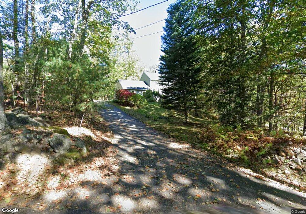
153 Minott Rd Westminster, MA 01473
Estimated Value: $514,608 - $610,000
3
Beds
2
Baths
1,768
Sq Ft
$321/Sq Ft
Est. Value
About This Home
This home is located at 153 Minott Rd, Westminster, MA 01473 and is currently estimated at $568,152, approximately $321 per square foot. 153 Minott Rd is a home located in Worcester County with nearby schools including Oakmont Regional High School.
Ownership History
Date
Name
Owned For
Owner Type
Purchase Details
Closed on
Jul 14, 2008
Sold by
Leininger-Duprey Nt and Leininger Keith R
Bought by
Layton Heather R and Layton Mark T
Current Estimated Value
Home Financials for this Owner
Home Financials are based on the most recent Mortgage that was taken out on this home.
Original Mortgage
$208,800
Outstanding Balance
$135,112
Interest Rate
6.13%
Mortgage Type
Purchase Money Mortgage
Estimated Equity
$433,040
Create a Home Valuation Report for This Property
The Home Valuation Report is an in-depth analysis detailing your home's value as well as a comparison with similar homes in the area
Home Values in the Area
Average Home Value in this Area
Purchase History
| Date | Buyer | Sale Price | Title Company |
|---|---|---|---|
| Layton Heather R | $261,000 | -- |
Source: Public Records
Mortgage History
| Date | Status | Borrower | Loan Amount |
|---|---|---|---|
| Open | Layton Heather R | $208,800 |
Source: Public Records
Tax History
| Year | Tax Paid | Tax Assessment Tax Assessment Total Assessment is a certain percentage of the fair market value that is determined by local assessors to be the total taxable value of land and additions on the property. | Land | Improvement |
|---|---|---|---|---|
| 2025 | $5,171 | $420,400 | $129,500 | $290,900 |
| 2024 | $4,935 | $402,500 | $129,500 | $273,000 |
| 2023 | $4,988 | $381,900 | $120,900 | $261,000 |
| 2022 | $5,013 | $317,300 | $105,000 | $212,300 |
| 2021 | $5,001 | $298,400 | $91,900 | $206,500 |
| 2020 | $4,939 | $281,400 | $83,300 | $198,100 |
| 2019 | $4,867 | $266,700 | $68,600 | $198,100 |
| 2018 | $4,511 | $243,200 | $68,600 | $174,600 |
| 2017 | $4,349 | $239,100 | $68,600 | $170,500 |
| 2016 | $4,158 | $221,400 | $57,100 | $164,300 |
| 2015 | $4,114 | $217,100 | $57,100 | $160,000 |
| 2014 | $4,121 | $217,100 | $57,100 | $160,000 |
Source: Public Records
Map
Nearby Homes
Your Personal Tour Guide
Ask me questions while you tour the home.