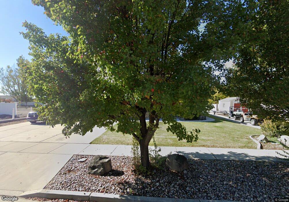
153 N 850 W Springville, UT 84663
Westfields North NeighborhoodEstimated Value: $509,000 - $540,016
3
Beds
2
Baths
1,602
Sq Ft
$329/Sq Ft
Est. Value
About This Home
This home is located at 153 N 850 W, Springville, UT 84663 and is currently estimated at $526,504, approximately $328 per square foot. 153 N 850 W is a home located in Utah County with nearby schools including Westside Elementary School, Springville Junior High School, and Springville High School.
Ownership History
Date
Name
Owned For
Owner Type
Purchase Details
Closed on
Dec 27, 2011
Sold by
Dowd Brian Lyle and The Dowd Family Trust
Bought by
Hamie Terry
Current Estimated Value
Purchase Details
Closed on
Jul 30, 2009
Sold by
Edwards Ralph E and Edwards Marsha B
Bought by
Dowd Donald and Dowd Barbara
Purchase Details
Closed on
Jul 30, 2007
Sold by
Oates Barry J and Oates Barry
Bought by
Edwards Ralph E and Edwards Marsha B
Create a Home Valuation Report for This Property
The Home Valuation Report is an in-depth analysis detailing your home's value as well as a comparison with similar homes in the area
Home Values in the Area
Average Home Value in this Area
Purchase History
| Date | Buyer | Sale Price | Title Company |
|---|---|---|---|
| Hamie Terry | -- | Masters Title | |
| Dowd Donald G | -- | None Available | |
| Dowd Donald | -- | Security Title Insurance Ag | |
| Edwards Ralph E | -- | Provo Land Title Company |
Source: Public Records
Tax History Compared to Growth
Tax History
| Year | Tax Paid | Tax Assessment Tax Assessment Total Assessment is a certain percentage of the fair market value that is determined by local assessors to be the total taxable value of land and additions on the property. | Land | Improvement |
|---|---|---|---|---|
| 2025 | $2,476 | $490,300 | $195,700 | $294,600 |
| 2024 | $2,476 | $245,740 | $0 | $0 |
| 2023 | $2,434 | $243,815 | $0 | $0 |
| 2022 | $2,696 | $265,265 | $0 | $0 |
| 2021 | $2,298 | $351,500 | $126,800 | $224,700 |
| 2020 | $2,149 | $318,600 | $93,900 | $224,700 |
| 2019 | $2,067 | $311,700 | $90,300 | $221,400 |
| 2018 | $1,987 | $285,700 | $84,700 | $201,000 |
| 2017 | $1,811 | $138,105 | $0 | $0 |
| 2016 | $1,626 | $121,495 | $0 | $0 |
| 2015 | $1,475 | $112,365 | $0 | $0 |
| 2014 | $1,437 | $108,460 | $0 | $0 |
Source: Public Records
Map
Nearby Homes