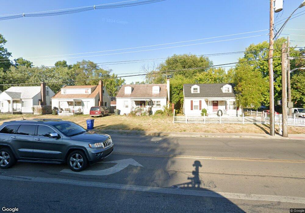
153 N James Rd Columbus, OH 43213
Broadleigh NeighborhoodEstimated Value: $166,000 - $195,000
3
Beds
1
Bath
1,066
Sq Ft
$171/Sq Ft
Est. Value
About This Home
This home is located at 153 N James Rd, Columbus, OH 43213 and is currently estimated at $182,130, approximately $170 per square foot. 153 N James Rd is a home located in Franklin County with nearby schools including Broadleigh Elementary School, Johnson Park Middle School, and Walnut Ridge High School.
Ownership History
Date
Name
Owned For
Owner Type
Purchase Details
Closed on
Jan 25, 2012
Sold by
Clark Laura
Bought by
Morales Ruben
Current Estimated Value
Purchase Details
Closed on
Apr 3, 2008
Sold by
Novastar Mortgage Inc
Bought by
Clark Laura
Purchase Details
Closed on
Oct 17, 2007
Sold by
Pennington Caleb
Bought by
Novastar Mortgage Inc
Purchase Details
Closed on
Dec 18, 2006
Sold by
Brown Doris M
Bought by
Pennington Caleb
Home Financials for this Owner
Home Financials are based on the most recent Mortgage that was taken out on this home.
Original Mortgage
$88,200
Interest Rate
8.65%
Mortgage Type
Balloon
Purchase Details
Closed on
Feb 14, 1967
Bought by
Brown Doris M
Create a Home Valuation Report for This Property
The Home Valuation Report is an in-depth analysis detailing your home's value as well as a comparison with similar homes in the area
Home Values in the Area
Average Home Value in this Area
Purchase History
| Date | Buyer | Sale Price | Title Company |
|---|---|---|---|
| Morales Ruben | $55,900 | None Available | |
| Clark Laura | $18,000 | Fidelity Land Title Agency | |
| Novastar Mortgage Inc | $40,000 | Allodial | |
| Pennington Caleb | $98,000 | Title Quest | |
| Brown Doris M | -- | -- |
Source: Public Records
Mortgage History
| Date | Status | Borrower | Loan Amount |
|---|---|---|---|
| Previous Owner | Pennington Caleb | $88,200 |
Source: Public Records
Tax History Compared to Growth
Tax History
| Year | Tax Paid | Tax Assessment Tax Assessment Total Assessment is a certain percentage of the fair market value that is determined by local assessors to be the total taxable value of land and additions on the property. | Land | Improvement |
|---|---|---|---|---|
| 2024 | $5,039 | $55,130 | $14,600 | $40,530 |
| 2023 | $2,443 | $55,125 | $14,595 | $40,530 |
| 2022 | $2,869 | $36,860 | $5,460 | $31,400 |
| 2021 | $1,915 | $36,860 | $5,460 | $31,400 |
| 2020 | $1,918 | $36,860 | $5,460 | $31,400 |
| 2019 | $1,888 | $31,120 | $4,550 | $26,570 |
| 2018 | $1,704 | $31,120 | $4,550 | $26,570 |
| 2017 | $1,021 | $31,120 | $4,550 | $26,570 |
| 2016 | $1,231 | $18,590 | $3,150 | $15,440 |
| 2015 | $1,525 | $18,590 | $3,150 | $15,440 |
| 2014 | $1,153 | $18,590 | $3,150 | $15,440 |
| 2013 | $657 | $19,565 | $3,325 | $16,240 |
Source: Public Records
Map
Nearby Homes
- 3235 Maryland Ave
- 243 N James Rd
- 253 N James Rd
- 177 N James Rd
- 238 Edgevale Rd
- 73 N Everett Ave
- 46 N Everett Ave
- 94 N Hampton Rd
- 88-90 N Waverly St
- 50 N Broadleigh Rd
- 205 N Gould Rd
- 178 S Weyant Ave
- 354 N Roosevelt Ave Unit 356
- 201 S Weyant Ave
- 247 S James Rd
- 239 S Kellner Rd
- 277 S James Rd
- 91 Maplewood Ave
- 142 S Gould Rd
- 3116 E 5th Ave
- 159 N James Rd
- 149 N James Rd
- 149 James Rd
- 143 N James Rd
- 166 N Kellner Rd
- 158 N Kellner Rd
- 137 N James Rd
- 144 N James Rd
- 150 N Kellner Rd
- 158 N James Rd
- 131 N James Rd
- 144 James Rd
- 138 N James Rd
- 182 N Kellner Rd
- 132 N James Rd
- 142 N Kellner Rd
- 125 N James Rd
- 125 N James Rd
- 188 N Kellner Rd
- 134 N Kellner Rd