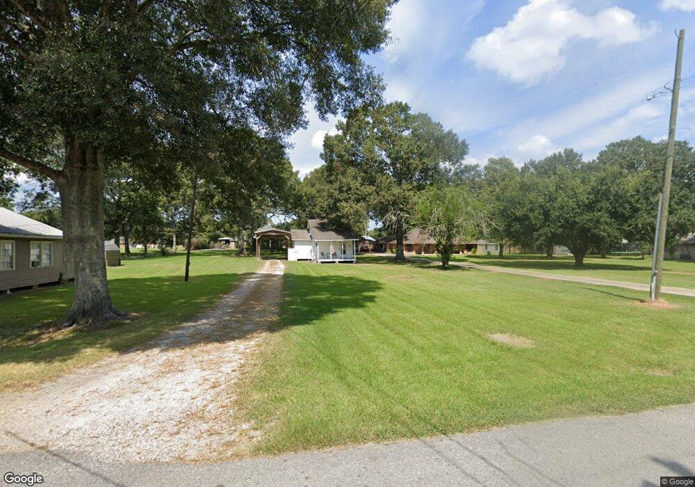
153 N Labauve Rd Brusly, LA 70719
West Baton Rouge Parish NeighborhoodEstimated Value: $316,000 - $350,170
--
Bed
--
Bath
2,121
Sq Ft
$159/Sq Ft
Est. Value
About This Home
This home is located at 153 N Labauve Rd, Brusly, LA 70719 and is currently estimated at $336,543, approximately $158 per square foot. 153 N Labauve Rd is a home located in West Baton Rouge Parish with nearby schools including Brusly Elementary School, Lukeville Upper Elementary School, and Brusly Middle School.
Ownership History
Date
Name
Owned For
Owner Type
Purchase Details
Closed on
Mar 2, 2005
Sold by
Dugas Walter J
Bought by
Denham Oscar and Denham Mary
Current Estimated Value
Home Financials for this Owner
Home Financials are based on the most recent Mortgage that was taken out on this home.
Original Mortgage
$45,000
Outstanding Balance
$22,431
Interest Rate
5.66%
Mortgage Type
Credit Line Revolving
Estimated Equity
$314,112
Create a Home Valuation Report for This Property
The Home Valuation Report is an in-depth analysis detailing your home's value as well as a comparison with similar homes in the area
Home Values in the Area
Average Home Value in this Area
Purchase History
| Date | Buyer | Sale Price | Title Company |
|---|---|---|---|
| Denham Oscar | $280,000 | None Available |
Source: Public Records
Mortgage History
| Date | Status | Borrower | Loan Amount |
|---|---|---|---|
| Open | Denham Oscar | $45,000 | |
| Open | Denham Oscar | $178,000 |
Source: Public Records
Tax History Compared to Growth
Tax History
| Year | Tax Paid | Tax Assessment Tax Assessment Total Assessment is a certain percentage of the fair market value that is determined by local assessors to be the total taxable value of land and additions on the property. | Land | Improvement |
|---|---|---|---|---|
| 2024 | $2,027 | $28,430 | $6,060 | $22,370 |
| 2023 | $2,012 | $26,880 | $5,840 | $21,040 |
| 2022 | $2,819 | $26,880 | $5,840 | $21,040 |
| 2021 | $2,883 | $26,880 | $5,840 | $21,040 |
| 2020 | $2,513 | $880 | $360 | $520 |
| 2019 | $2,242 | $900 | $360 | $540 |
| 2018 | $2,283 | $19,870 | $1,950 | $17,920 |
| 2017 | $2,108 | $19,870 | $1,950 | $17,920 |
| 2015 | $1,697 | $19,750 | $1,830 | $17,920 |
| 2014 | $1,669 | $19,750 | $1,830 | $17,920 |
| 2013 | $1,669 | $19,750 | $1,830 | $17,920 |
Source: Public Records
Map
Nearby Homes
- 2809 Live Oak Dr
- 2821 Live Oak Dr
- 2382 Ory Dr
- 2209 Live Oak Dr
- 2805 Live Oak Dr
- 2820 Live Oak Dr
- 2824 Live Oak Dr
- 3200 Orleans Quarters Dr
- 6423 Choctaw Rd
- 4123 Choctaw Rd
- 4516 Stonewall Dr
- 3561 Lukeville Ln
- 6465 Clarkland Blvd
- 4744 Trial Dr
- 6532 Union Dr
- 4958 Trinity Dr
- 3609 Loup Ln
- 4962 Trinity Dr
- 3675 Union Dr
- 6378 Yatton Dr
- 153 N Labauve Ave
- 2630 Live Oak Dr
- 2650 Live Oak Dr
- 2614 Live Oak Dr
- 2558 Live Oak Dr
- 2536 Live Oak Dr
- 2710 Live Oak Dr
- 2730 Live Oak Dr
- 2520 Live Oak Dr
- 0 Live Oak Unit BR200907886
- 0 Live Oak Unit BR200820324
- 0 Live Oak Unit BR200820321
- 0 Live Oak Unit BR200907883
- 0 Live Oak
- 2557 Live Oak Dr
- 2804 Live Oak Dr
- 2639 Live Oak Dr
- 2539 Live Oak Dr
- 2502 Live Oak Dr
- 2629 Live Oak Dr