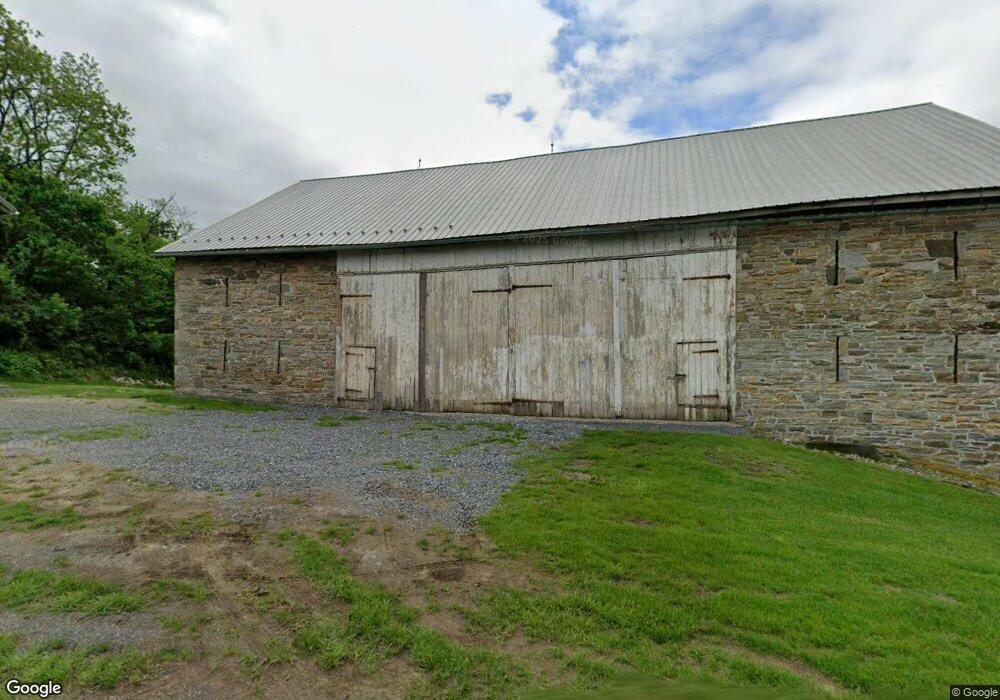
153 N Sheridan Rd Newmanstown, PA 17073
Estimated Value: $205,000 - $337,000
--
Bed
1
Bath
2,176
Sq Ft
$132/Sq Ft
Est. Value
About This Home
This home is located at 153 N Sheridan Rd, Newmanstown, PA 17073 and is currently estimated at $288,288, approximately $132 per square foot. 153 N Sheridan Rd is a home located in Lebanon County with nearby schools including Eastern Lebanon County Senior High School, Millcreek Parochial School, and Millbach Mennonite School.
Ownership History
Date
Name
Owned For
Owner Type
Purchase Details
Closed on
May 4, 2022
Sold by
Gress Family Limited Partnership
Bought by
Hoover Wilson B and Hoover Darlene B
Current Estimated Value
Purchase Details
Closed on
Feb 26, 2021
Sold by
The Grass Family Limited Partnership
Bought by
153 135 Family Limited Liability Company
Purchase Details
Closed on
Jan 9, 2013
Sold by
Gress Paul W and Gress Carol S
Bought by
The Gress Family Limited Partnership
Purchase Details
Closed on
Jul 20, 2012
Sold by
Ginder Arlene and Ginder Edward L
Bought by
The Gress Family Limited Partnership
Purchase Details
Closed on
Apr 25, 2008
Sold by
Gress Paul W and Gress Carol S
Bought by
The Gress Family Lp
Purchase Details
Closed on
Dec 2, 2005
Sold by
Shenk F Paul and Gress Carol S
Bought by
F Paul Shenk Trust
Create a Home Valuation Report for This Property
The Home Valuation Report is an in-depth analysis detailing your home's value as well as a comparison with similar homes in the area
Home Values in the Area
Average Home Value in this Area
Purchase History
| Date | Buyer | Sale Price | Title Company |
|---|---|---|---|
| Hoover Wilson B | $275,000 | -- | |
| 153 135 Family Limited Liability Company | $178,524 | None Available | |
| The Gress Family Limited Partnership | -- | None Available | |
| The Gress Family Limited Partnership | -- | None Available | |
| The Gress Family Lp | $213,518 | None Available | |
| F Paul Shenk Trust | -- | None Available |
Source: Public Records
Tax History Compared to Growth
Tax History
| Year | Tax Paid | Tax Assessment Tax Assessment Total Assessment is a certain percentage of the fair market value that is determined by local assessors to be the total taxable value of land and additions on the property. | Land | Improvement |
|---|---|---|---|---|
| 2025 | $2,184 | $91,700 | $85,900 | $5,800 |
| 2024 | $13,470 | $611,300 | $611,300 | $0 |
| 2023 | $13,470 | $611,300 | $611,300 | $0 |
| 2022 | $13,833 | $642,000 | $616,600 | $25,400 |
| 2021 | $15,227 | $739,600 | $622,100 | $117,500 |
| 2020 | $15,025 | $739,600 | $622,100 | $117,500 |
| 2019 | $14,706 | $739,600 | $622,100 | $117,500 |
| 2018 | $14,458 | $739,600 | $622,100 | $117,500 |
| 2017 | -- | $739,600 | $622,100 | $117,500 |
| 2016 | $13,855 | $739,600 | $622,100 | $117,500 |
| 2015 | -- | $739,600 | $622,100 | $117,500 |
| 2014 | -- | $746,800 | $622,100 | $124,700 |
Source: Public Records
Map
Nearby Homes
- 138 W Main St
- 220 W Main St
- 182 Marissa Ct
- 180 Marissa Ct
- 176 Marissa Ct
- 178 Marissa Ct
- 29 Memorial Blvd
- 56 Memorial Blvd
- 336 Memorial Blvd
- 44 Winterberry Ln
- 45 Winterberry Ln
- 4 Rosebush Ct
- 16 Main St
- 111 Sweetwater Ln
- 121 Copper Beech Ln
- 23 Main St
- 21 Freesia Ct
- 3 Locust Ln
- 618 William Penn Blvd
- LOT #3 Conveyor Dr
- 150 N Sheridan Rd
- 142 N Sheridan Rd
- 4 N Fort Zellers Rd
- 154 N Sheridan Rd
- 1 N Fort Zellers Rd
- 1 N Fort Zellers Rd
- 1 N Fort Zellers Rd
- 138 N Sheridan Rd
- 135 N Sheridan Rd
- 132 N Sheridan Rd
- 200 N Sheridan Rd
- 5 Furnace Rd
- 136 Willow St
- 131 N Sheridan Rd
- 130 N Sheridan Rd
- 185 Willow St
- 128 N Sheridan Rd
- 126 N Sheridan Rd
- 124 N Sheridan Rd
- 123 N Sheridan Rd