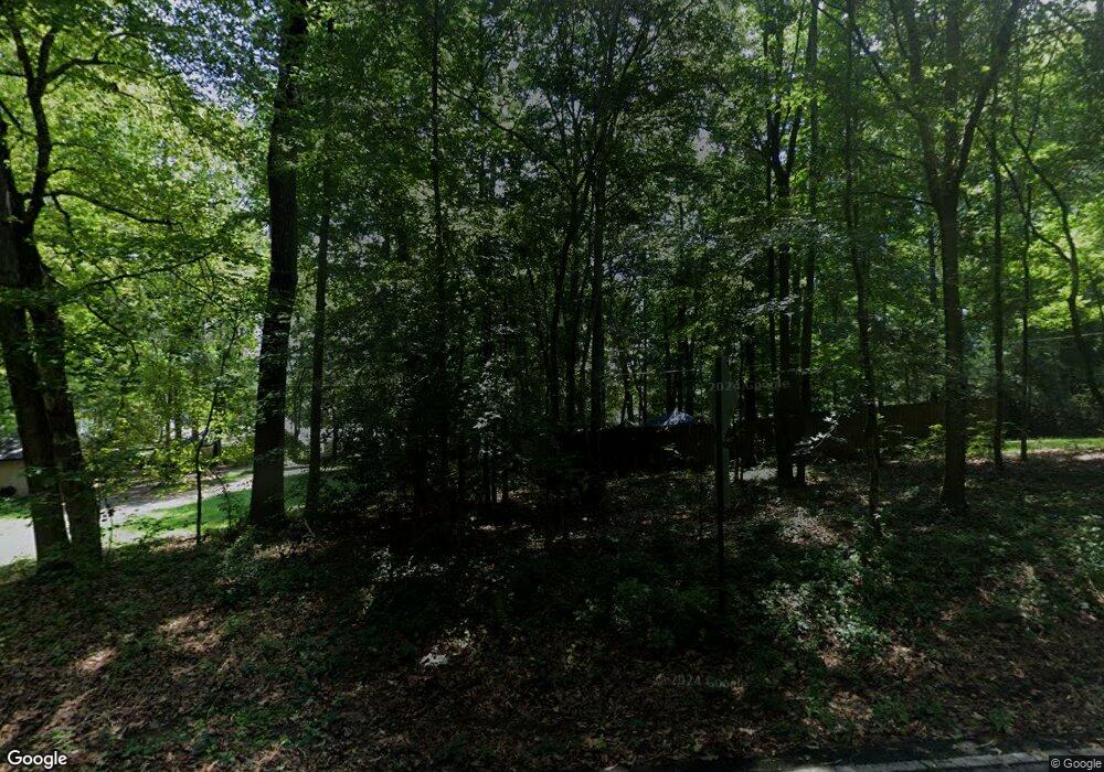
153 Northshore Dr SW Eatonton, GA 31024
Estimated Value: $855,000 - $1,100,000
3
Beds
3
Baths
2,139
Sq Ft
$450/Sq Ft
Est. Value
About This Home
This home is located at 153 Northshore Dr SW, Eatonton, GA 31024 and is currently estimated at $961,518, approximately $449 per square foot. 153 Northshore Dr SW is a home located in Putnam County with nearby schools including Putnam County Primary School, Putnam County Elementary School, and Putnam County Middle School.
Ownership History
Date
Name
Owned For
Owner Type
Purchase Details
Closed on
Apr 8, 2024
Sold by
Christy Arthur W
Bought by
Mcdonald Carol E and Mcdonald William Rucker
Current Estimated Value
Purchase Details
Closed on
Aug 24, 2012
Sold by
Vaughn James W
Bought by
Christy Arthur W and Christy Mary N
Purchase Details
Closed on
May 11, 1998
Sold by
Brooke Thornton
Bought by
Vaughn James W and Vaughn Joa
Purchase Details
Closed on
Apr 16, 1998
Sold by
Cook Edgar Thompson
Bought by
Vaughn James W and Vaughn Joa
Purchase Details
Closed on
Apr 15, 1997
Sold by
Cook Edgar T and Cook Ashle
Bought by
Cook Edgar Thompson
Create a Home Valuation Report for This Property
The Home Valuation Report is an in-depth analysis detailing your home's value as well as a comparison with similar homes in the area
Home Values in the Area
Average Home Value in this Area
Purchase History
| Date | Buyer | Sale Price | Title Company |
|---|---|---|---|
| Mcdonald Carol E | $875,000 | -- | |
| Christy Arthur W | $350,000 | -- | |
| Vaughn James W | $600 | -- | |
| Brooke Thornton | -- | -- | |
| Vaughn James W | $62,000 | -- | |
| Cook Edgar Thompson | $30,000 | -- | |
| Cook Edgar T | -- | -- |
Source: Public Records
Tax History Compared to Growth
Tax History
| Year | Tax Paid | Tax Assessment Tax Assessment Total Assessment is a certain percentage of the fair market value that is determined by local assessors to be the total taxable value of land and additions on the property. | Land | Improvement |
|---|---|---|---|---|
| 2024 | $2,435 | $297,432 | $80,000 | $217,432 |
| 2023 | $2,520 | $265,202 | $80,000 | $185,202 |
| 2022 | $2,770 | $206,852 | $60,000 | $146,852 |
| 2021 | $3,033 | $173,161 | $54,000 | $119,161 |
| 2020 | $3,235 | $152,284 | $59,400 | $92,884 |
| 2019 | $3,295 | $152,200 | $59,400 | $92,800 |
| 2018 | $3,230 | $139,319 | $66,000 | $73,319 |
| 2017 | $2,916 | $139,319 | $66,000 | $73,319 |
Source: Public Records
Map
Nearby Homes
- 108D Southshore Dr
- 108C Southshore Dr
- LOT 173 Shoreline Ct
- LOT 172 Shoreline Ct
- 126 Bluegill Rd
- 102 Julep Dr SW
- 118 Southshore Rd
- 172 Southshore Rd
- 229 Old Plantation Trail NW
- 231 Lakeshore Dr SW
- 127 Bluegill Run
- 111 Southshore Rd
- 215 Old Plantation Trail NW
- 210 Lakeshore Dr SW
- 201 Lakeshore Dr
- 136 Lakeshore Dr SW
- 153 Northshore Dr
- 151 Northshore Dr
- 122 Northshore Dr
- 138 Southshore Dr
- 136 Southshore Dr
- 149 Northshore Dr
- 172 Southshore Dr
- 132 Southshore Dr
- 147 Northshore Dr
- 130 Southshore Dr
- 145 Northshore Dr
- 143 Northshore Dr
- 139 Northshore Dr
- 141 Northshore Dr
- 128 Southshore Dr Unit 36C
- 128 Southshore Dr
- 128 Southshore Dr Unit 36C
- 0 S Shore Dr Unit 2927881
- 0 S Shore Dr Unit 27631
- 0 S Shore Dr Unit 30684
