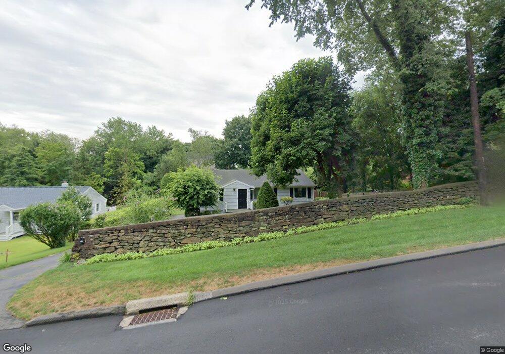
153 Osborne Hill Rd Fairfield, CT 06824
University NeighborhoodEstimated Value: $864,300 - $990,000
3
Beds
3
Baths
2,141
Sq Ft
$437/Sq Ft
Est. Value
About This Home
This home is located at 153 Osborne Hill Rd, Fairfield, CT 06824 and is currently estimated at $935,325, approximately $436 per square foot. 153 Osborne Hill Rd is a home located in Fairfield County with nearby schools including Osborn Hill Elementary School, Fairfield Woods Middle School, and Fairfield Ludlowe High School.
Ownership History
Date
Name
Owned For
Owner Type
Purchase Details
Closed on
Jan 21, 1983
Bought by
Larusso Salvatore J and Channing Candace L
Current Estimated Value
Create a Home Valuation Report for This Property
The Home Valuation Report is an in-depth analysis detailing your home's value as well as a comparison with similar homes in the area
Home Values in the Area
Average Home Value in this Area
Purchase History
| Date | Buyer | Sale Price | Title Company |
|---|---|---|---|
| Larusso Salvatore J | -- | -- |
Source: Public Records
Mortgage History
| Date | Status | Borrower | Loan Amount |
|---|---|---|---|
| Open | Larusso Salvatore J | $297,000 | |
| Closed | Larusso Salvatore J | $275,000 |
Source: Public Records
Tax History Compared to Growth
Tax History
| Year | Tax Paid | Tax Assessment Tax Assessment Total Assessment is a certain percentage of the fair market value that is determined by local assessors to be the total taxable value of land and additions on the property. | Land | Improvement |
|---|---|---|---|---|
| 2025 | $9,682 | $341,040 | $250,320 | $90,720 |
| 2024 | $9,515 | $341,040 | $250,320 | $90,720 |
| 2023 | $9,382 | $341,040 | $250,320 | $90,720 |
| 2022 | $9,290 | $341,040 | $250,320 | $90,720 |
| 2021 | $9,201 | $341,040 | $250,320 | $90,720 |
| 2020 | $9,146 | $341,390 | $246,750 | $94,640 |
| 2019 | $9,146 | $341,390 | $246,750 | $94,640 |
| 2018 | $8,999 | $341,390 | $246,750 | $94,640 |
| 2017 | $8,815 | $341,390 | $246,750 | $94,640 |
| 2016 | $8,688 | $341,390 | $246,750 | $94,640 |
| 2015 | $7,502 | $302,610 | $216,440 | $86,170 |
| 2014 | $7,384 | $302,610 | $216,440 | $86,170 |
Source: Public Records
Map
Nearby Homes
- 478 Crestwood Rd
- 68 Figlar Ave
- 133 Green Acre Ln
- 168 Wormwood Rd
- 45 Robin Cir
- 42 Robin Cir
- 15 Barton Rd
- 109 Jeniford Rd
- 274 High St
- 44 Deer Run Rd
- 359 Reid St
- 105 Charter Oak Rd
- 122 Colony St
- 338 Orchard Hill Ln
- 1207 Stillson Rd
- 41 Pepperbush Ln
- 25 Country Rd
- 270 Andrassy Ave
- 2107 N Benson Rd
- 38 Edge Hill Rd
- 169 Osborne Hill Rd
- 139 Osborne Hill Rd
- 121 Osborne Hill Rd
- 216 Mayweed Rd
- 210 Mayweed Rd
- 232 Mayweed Rd
- 148 Osborne Hill Rd
- 183 Osborne Hill Rd
- 95 Osborne Hill Rd
- 204 Mayweed Rd
- 572 Wormwood Rd
- 199 Osborne Hill Rd
- 1410 Jennings Rd
- 19 Knollwood Dr
- 187 Mayweed Rd
- 22 Knollwood Dr
- 83 Osborne Hill Rd
- 71 Running Brook Cir
- 11 Glen Arden Dr
- 555 Wormwood Rd