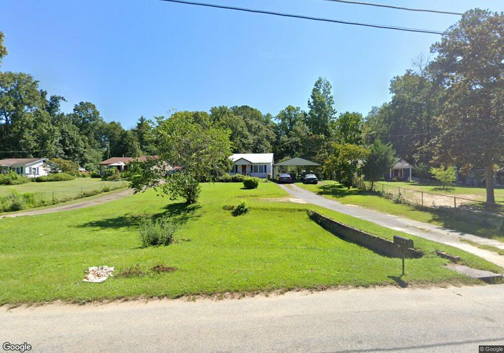
153 Poplar Cir Lagrange, GA 30241
Estimated Value: $115,000 - $187,000
2
Beds
1
Bath
1,292
Sq Ft
$113/Sq Ft
Est. Value
About This Home
This home is located at 153 Poplar Cir, Lagrange, GA 30241 and is currently estimated at $145,836, approximately $112 per square foot. 153 Poplar Cir is a home located in Troup County with nearby schools including Hollis Hand Elementary School, Franklin Forest Elementary School, and Ethel W. Kight Elementary School.
Ownership History
Date
Name
Owned For
Owner Type
Purchase Details
Closed on
Nov 10, 2000
Sold by
Yearwood Thomas J
Bought by
Clegg Donald Alan
Current Estimated Value
Purchase Details
Closed on
Feb 1, 1985
Sold by
Vicie Oconnell Stephens
Bought by
Yearwood Thomas J
Purchase Details
Closed on
Jan 1, 1973
Sold by
Heirs Of Blant Stephens
Bought by
Vicie Oconnell Stephens
Purchase Details
Closed on
Jan 1, 1956
Sold by
W E and Millie Sanders
Bought by
Heirs Of Blant Stephens
Create a Home Valuation Report for This Property
The Home Valuation Report is an in-depth analysis detailing your home's value as well as a comparison with similar homes in the area
Purchase History
| Date | Buyer | Sale Price | Title Company |
|---|---|---|---|
| Clegg Donald Alan | $45,500 | -- | |
| Yearwood Thomas J | $20,700 | -- | |
| Vicie Oconnell Stephens | -- | -- | |
| Heirs Of Blant Stephens | -- | -- |
Source: Public Records
Tax History
| Year | Tax Paid | Tax Assessment Tax Assessment Total Assessment is a certain percentage of the fair market value that is determined by local assessors to be the total taxable value of land and additions on the property. | Land | Improvement |
|---|---|---|---|---|
| 2025 | $988 | $42,600 | $10,000 | $32,600 |
| 2024 | $771 | $30,268 | $10,000 | $20,268 |
| 2023 | $305 | $282 | $0 | $282 |
| 2022 | $708 | $27,348 | $8,000 | $19,348 |
| 2021 | $596 | $21,740 | $4,000 | $17,740 |
| 2020 | $596 | $21,740 | $4,000 | $17,740 |
| 2019 | $596 | $21,736 | $4,000 | $17,736 |
| 2018 | $550 | $20,236 | $2,760 | $17,476 |
| 2017 | $550 | $20,236 | $2,760 | $17,476 |
| 2016 | $557 | $20,466 | $2,310 | $18,156 |
| 2015 | $573 | $20,932 | $2,776 | $18,156 |
| 2014 | $547 | $20,068 | $2,776 | $17,292 |
| 2013 | -- | $19,942 | $2,704 | $17,238 |
Source: Public Records
Map
Nearby Homes
- 129 Mallory Dr
- 113 Pine Cir
- 2 Louise St
- 15 Fulton St
- 0 E Render St
- 311 Mourning Ct Unit LOT 33
- 507 Headwater Ct Unit 6
- 459 Merrywood Dr
- 503 Headwater Ct Unit 4D
- 502 Headwater Ct Unit 8D
- 302 Glenhaven Dr Unit 2D
- 4 1/2 Barnard Ave
- 428 Macon St
- 111 Shenandoah Ln
- 109 Shenandoah Ln
- 117 Shenandoah Ln Unit 22D
- 200 River Meadow Dr
- 106 Shenandoah Ln Unit 26E
- 106 Shenandoah Ln
- 100 Dove Creek Ct
Your Personal Tour Guide
Ask me questions while you tour the home.