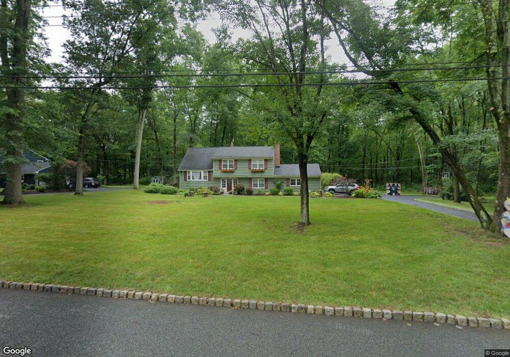
153 Riverside Dr Basking Ridge, NJ 07920
Estimated Value: $968,514 - $1,251,000
Studio
--
Bath
2,634
Sq Ft
$404/Sq Ft
Est. Value
About This Home
This home is located at 153 Riverside Dr, Basking Ridge, NJ 07920 and is currently estimated at $1,063,129, approximately $403 per square foot. 153 Riverside Dr is a home located in Somerset County with nearby schools including Cedar Hill Elementary School, William Annin Middle School, and Ridge High School.
Ownership History
Date
Name
Owned For
Owner Type
Purchase Details
Closed on
Jan 22, 2021
Sold by
Crimson Builders Llc
Bought by
Sullivan Wayne and Sullivan Hesper
Current Estimated Value
Home Financials for this Owner
Home Financials are based on the most recent Mortgage that was taken out on this home.
Original Mortgage
$342,000
Outstanding Balance
$305,236
Interest Rate
2.71%
Mortgage Type
New Conventional
Estimated Equity
$757,893
Purchase Details
Closed on
Mar 7, 2008
Sold by
Ford Gerald T and Ford Deborah
Bought by
Ford Gerald T
Home Financials for this Owner
Home Financials are based on the most recent Mortgage that was taken out on this home.
Original Mortgage
$390,000
Interest Rate
5.99%
Mortgage Type
New Conventional
Purchase Details
Closed on
Feb 11, 2008
Sold by
Ford Deborah
Bought by
Ford Deborah and Ford Gerald T
Home Financials for this Owner
Home Financials are based on the most recent Mortgage that was taken out on this home.
Original Mortgage
$390,000
Interest Rate
5.99%
Mortgage Type
New Conventional
Create a Home Valuation Report for This Property
The Home Valuation Report is an in-depth analysis detailing your home's value as well as a comparison with similar homes in the area
Home Values in the Area
Average Home Value in this Area
Purchase History
| Date | Buyer | Sale Price | Title Company |
|---|---|---|---|
| Sullivan Wayne | $360,000 | Clear Skies Title | |
| Ford Gerald T | -- | Commonwealth | |
| Ford Deborah | -- | None Available |
Source: Public Records
Mortgage History
| Date | Status | Borrower | Loan Amount |
|---|---|---|---|
| Open | Sullivan Wayne | $342,000 | |
| Previous Owner | Ford Gerald T | $390,000 |
Source: Public Records
Tax History
| Year | Tax Paid | Tax Assessment Tax Assessment Total Assessment is a certain percentage of the fair market value that is determined by local assessors to be the total taxable value of land and additions on the property. | Land | Improvement |
|---|---|---|---|---|
| 2025 | $14,095 | $885,400 | $448,800 | $436,600 |
| 2024 | $13,281 | $792,300 | $408,800 | $383,500 |
Source: Public Records
Map
Nearby Homes
- 159 Riverside Dr
- 165 Riverside Dr
- 139 Riverside Dr
- 154 Riverside Dr
- 162 Riverside Dr
- 140 Riverside Dr
- 171 Riverside Dr
- 133 Riverside Dr
- 157 Lord Stirling Rd
- 134 Riverside Dr
- 172 Riverside Dr
- 177 Riverside Dr
- 127 Riverside Dr
- 89 Castle Way
- 20 Sherwood Dr
- 180 Riverside Dr
- 121 Riverside Dr
- 22 Meadowview Rd
- 25 Sherwood Dr
- 28 Meadowview Rd
Your Personal Tour Guide
Ask me questions while you tour the home.