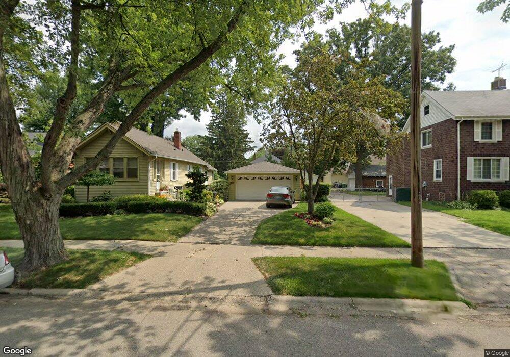
153 Riverside Dr Mount Clemens, MI 48043
Estimated Value: $192,541 - $221,000
--
Bed
--
Bath
1,130
Sq Ft
$184/Sq Ft
Est. Value
About This Home
This home is located at 153 Riverside Dr, Mount Clemens, MI 48043 and is currently estimated at $208,385, approximately $184 per square foot. 153 Riverside Dr is a home located in Macomb County with nearby schools including Mount Clemens High School, Montessori Stepping Stones School, and St Mary Catholic School.
Ownership History
Date
Name
Owned For
Owner Type
Purchase Details
Closed on
Nov 22, 2019
Sold by
Greiner Shannon L
Bought by
Greiner Shannon L and Smith Jesse D
Current Estimated Value
Home Financials for this Owner
Home Financials are based on the most recent Mortgage that was taken out on this home.
Original Mortgage
$68,575
Outstanding Balance
$46,188
Interest Rate
3.6%
Mortgage Type
New Conventional
Estimated Equity
$162,197
Purchase Details
Closed on
Jul 23, 2008
Sold by
Mckinnon Leighton M and Mckinnon Flora
Bought by
Greiner Shannon L
Create a Home Valuation Report for This Property
The Home Valuation Report is an in-depth analysis detailing your home's value as well as a comparison with similar homes in the area
Home Values in the Area
Average Home Value in this Area
Purchase History
| Date | Buyer | Sale Price | Title Company |
|---|---|---|---|
| Greiner Shannon L | -- | None Available | |
| Greiner Shannon L | $86,000 | Greater Macomb Title |
Source: Public Records
Mortgage History
| Date | Status | Borrower | Loan Amount |
|---|---|---|---|
| Open | Greiner Shannon L | $68,575 |
Source: Public Records
Tax History Compared to Growth
Tax History
| Year | Tax Paid | Tax Assessment Tax Assessment Total Assessment is a certain percentage of the fair market value that is determined by local assessors to be the total taxable value of land and additions on the property. | Land | Improvement |
|---|---|---|---|---|
| 2025 | $2,588 | $85,200 | $0 | $0 |
| 2024 | $2,522 | $76,500 | $0 | $0 |
| 2023 | $2,416 | $77,200 | $0 | $0 |
| 2022 | $2,648 | $70,400 | $0 | $0 |
| 2021 | $2,281 | $62,000 | $0 | $0 |
| 2020 | $2,166 | $56,800 | $0 | $0 |
| 2019 | $2,132 | $54,200 | $0 | $0 |
| 2018 | $2,091 | $47,400 | $0 | $0 |
| 2017 | $2,051 | $42,234 | $13,372 | $28,862 |
| 2016 | $2,043 | $42,234 | $0 | $0 |
| 2015 | $3,688 | $37,502 | $0 | $0 |
| 2013 | -- | $33,907 | $11,773 | $22,134 |
Source: Public Records
Map
Nearby Homes
- 104 Riverside Dr
- 190 Riverside Dr
- 184 Dickinson St
- 88 Crocker Blvd
- 44 Fessenden St
- 55 Meadle St
- 167 Avery St
- 260 Riverside Dr
- 41 Gibbs St
- 30 Mulligan Dr
- 5 River Bluff Dr Unit 104B
- 50 Michigan St
- 98 Northbound Gratiot Ave Unit 33
- 102 Michigan St
- 25 Dickinson St Unit I
- 23 Dickinson St Unit L
- 21 Dickinson St Unit K
- 43 Northbound Gratiot Ave
- 43 Southbound Gratiot Ave
- 147 Barbara St
- 151 Riverside Dr
- 159 Riverside Dr
- 147 Riverside Dr
- 186 Crocker Blvd
- 182 Crocker Blvd
- 190 Crocker Blvd
- 163 Riverside Dr
- 141 Riverside Dr
- 178 Crocker Blvd
- 160 Riverside Dr
- 152 Riverside Dr
- 162 Riverside Dr
- 192 Crocker Blvd Unit 194
- 174 Crocker Blvd
- 167 Riverside Dr
- 164 Riverside Dr
- 137 Riverside Dr
- 120 Riverside Dr
- 196 Crocker Blvd Unit 198
- 168 Riverside Dr