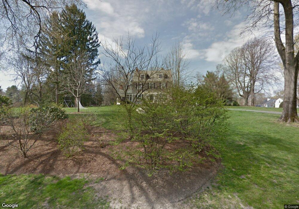
153 Rumstick Rd Barrington, RI 02806
Nayatt NeighborhoodEstimated Value: $2,026,000 - $2,828,000
6
Beds
4
Baths
3,920
Sq Ft
$607/Sq Ft
Est. Value
About This Home
This home is located at 153 Rumstick Rd, Barrington, RI 02806 and is currently estimated at $2,380,619, approximately $607 per square foot. 153 Rumstick Rd is a home located in Bristol County with nearby schools including Barrington High School, Barrington Christian Academy, and St. Andrews School.
Ownership History
Date
Name
Owned For
Owner Type
Purchase Details
Closed on
Feb 14, 2007
Sold by
Eakins William and Eakins Hope
Bought by
Ramsden Peter and Ramsden Laura
Current Estimated Value
Purchase Details
Closed on
Sep 10, 2001
Sold by
Mihaly Eugene B and Mihaly Stacey
Bought by
Eakins Hope H and Eakins William
Purchase Details
Closed on
May 15, 1996
Sold by
Herbst David A and Herbst Elizabeth
Bought by
Mihaly Eugene B and Mihaly Stacey
Create a Home Valuation Report for This Property
The Home Valuation Report is an in-depth analysis detailing your home's value as well as a comparison with similar homes in the area
Home Values in the Area
Average Home Value in this Area
Purchase History
| Date | Buyer | Sale Price | Title Company |
|---|---|---|---|
| Ramsden Peter | $1,425,000 | -- | |
| Eakins Hope H | $825,000 | -- | |
| Mihaly Eugene B | $554,000 | -- |
Source: Public Records
Mortgage History
| Date | Status | Borrower | Loan Amount |
|---|---|---|---|
| Open | Mihaly Eugene B | $417,000 | |
| Closed | Mihaly Eugene B | $100,000 | |
| Closed | Mihaly Eugene B | $475,000 |
Source: Public Records
Tax History Compared to Growth
Tax History
| Year | Tax Paid | Tax Assessment Tax Assessment Total Assessment is a certain percentage of the fair market value that is determined by local assessors to be the total taxable value of land and additions on the property. | Land | Improvement |
|---|---|---|---|---|
| 2025 | $31,171 | $2,032,000 | $675,000 | $1,357,000 |
| 2024 | $29,972 | $2,032,000 | $675,000 | $1,357,000 |
| 2023 | $23,670 | $1,166,000 | $438,000 | $728,000 |
| 2022 | $22,912 | $1,166,000 | $438,000 | $728,000 |
| 2021 | $22,329 | $1,166,000 | $438,000 | $728,000 |
| 2020 | $21,715 | $1,039,000 | $389,000 | $650,000 |
| 2019 | $20,884 | $1,039,000 | $389,000 | $650,000 |
| 2018 | $20,261 | $1,039,000 | $389,000 | $650,000 |
| 2017 | $18,284 | $914,200 | $382,700 | $531,500 |
| 2016 | $16,867 | $914,200 | $382,700 | $531,500 |
| 2015 | $16,684 | $914,200 | $382,700 | $531,500 |
| 2014 | $17,722 | $968,400 | $367,500 | $600,900 |
Source: Public Records
Map
Nearby Homes
- 10 Highland Ave
- 12 Colton Dr
- 169 Rumstick Rd
- 173 Rumstick Rd
- 139 Rumstick Rd
- 14 Highland Ave
- 150 Rumstick Rd
- 154 Rumstick Rd
- 5 Chachapacasset Rd
- 17 Highland Ave
- 18 Highland Ave
- 7 Chachapacasset Rd
- 146 Rumstick Rd
- 19 Highland Ave
- 168 Rumstick Rd
- 24 Highland Ave
- 8 Colton Dr
- 2 Quincy Adams Rd
- 136 Rumstick Rd
- 9 Winthrop Dr