153 Skyline Dr Golden, CO 80403
Estimated Value: $732,486 - $838,000
3
Beds
3
Baths
2,564
Sq Ft
$305/Sq Ft
Est. Value
About This Home
This home is located at 153 Skyline Dr, Golden, CO 80403 and is currently estimated at $782,372, approximately $305 per square foot. 153 Skyline Dr is a home located in Boulder County with nearby schools including Nederland Elementary School and Nederland Middle-Senior High School.
Ownership History
Date
Name
Owned For
Owner Type
Purchase Details
Closed on
Aug 8, 2014
Sold by
Barlow Dennis Wayne
Bought by
Cloyd Jason Howard
Current Estimated Value
Home Financials for this Owner
Home Financials are based on the most recent Mortgage that was taken out on this home.
Original Mortgage
$276,000
Outstanding Balance
$210,920
Interest Rate
4.17%
Mortgage Type
New Conventional
Estimated Equity
$571,452
Purchase Details
Closed on
Aug 31, 2006
Sold by
Barlow Dennis Wayne and Barlow Colette Mae
Bought by
Barlow Dennis Wayne
Purchase Details
Closed on
Jul 3, 1985
Bought by
Cloyd Jason Howard
Purchase Details
Closed on
Jun 4, 1965
Bought by
Cloyd Jason Howard
Create a Home Valuation Report for This Property
The Home Valuation Report is an in-depth analysis detailing your home's value as well as a comparison with similar homes in the area
Home Values in the Area
Average Home Value in this Area
Purchase History
| Date | Buyer | Sale Price | Title Company |
|---|---|---|---|
| Cloyd Jason Howard | $345,000 | Land Title Guarantee Company | |
| Barlow Dennis Wayne | -- | None Available | |
| Cloyd Jason Howard | $17,300 | -- | |
| Cloyd Jason Howard | -- | -- |
Source: Public Records
Mortgage History
| Date | Status | Borrower | Loan Amount |
|---|---|---|---|
| Open | Cloyd Jason Howard | $276,000 |
Source: Public Records
Tax History Compared to Growth
Tax History
| Year | Tax Paid | Tax Assessment Tax Assessment Total Assessment is a certain percentage of the fair market value that is determined by local assessors to be the total taxable value of land and additions on the property. | Land | Improvement |
|---|---|---|---|---|
| 2025 | $3,294 | $41,538 | $3,569 | $37,969 |
| 2024 | $3,294 | $41,538 | $3,569 | $37,969 |
| 2023 | $3,232 | $40,749 | $3,665 | $40,770 |
| 2022 | $3,028 | $35,285 | $2,905 | $32,380 |
| 2021 | $2,984 | $36,301 | $2,989 | $33,312 |
| 2020 | $2,573 | $30,938 | $4,290 | $26,648 |
| 2019 | $2,532 | $30,938 | $4,290 | $26,648 |
| 2018 | $2,393 | $28,829 | $4,320 | $24,509 |
| 2017 | $2,321 | $31,872 | $4,776 | $27,096 |
| 2016 | $2,186 | $26,331 | $4,298 | $22,033 |
| 2015 | $2,065 | $22,543 | $9,950 | $12,593 |
| 2014 | $1,958 | $22,543 | $9,950 | $12,593 |
Source: Public Records
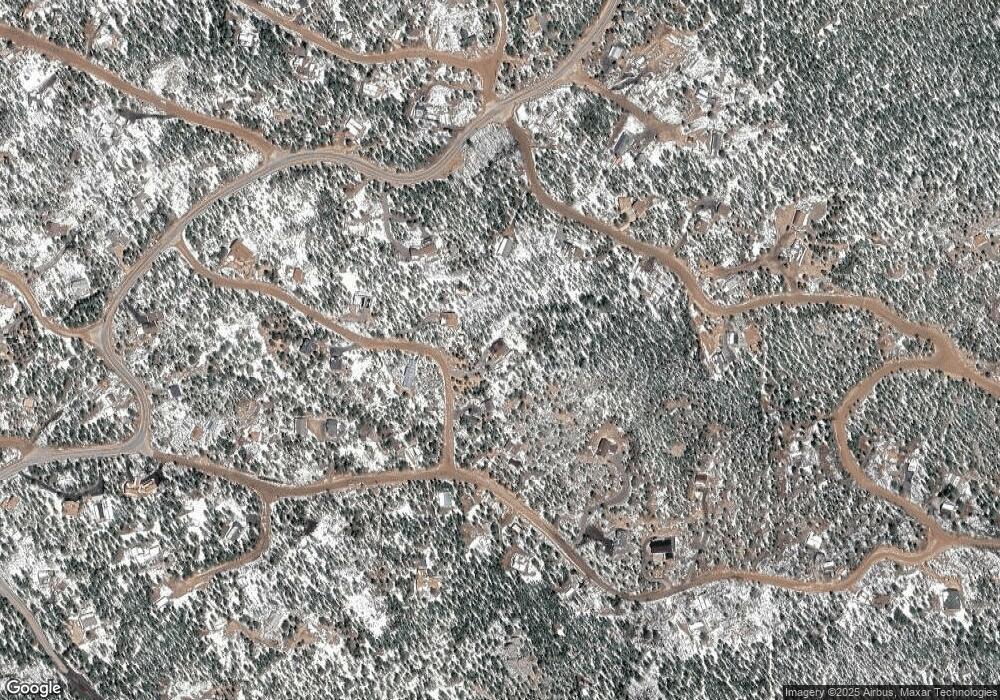
Map
Nearby Homes
- 900 Rudi Ln
- 8 Ronnie Rd
- 713 Rudi Ln
- 306 Olde Carter Lake Rd
- 87 Circle Rd
- 31 Millard Rd
- 15 Hardscrabble Rd
- 11766 Coal Creek Heights Dr
- 33436 Coal Creek Canyon Rd
- 11867 Coal Creek Heights Dr
- 24 Signal Rock Rd
- 11876 Coal Creek Heights Dr
- 11857 Coal Creek Heights Dr
- 11956 Coal Creek Heights Dr
- 11717 Coal Creek Heights Dr
- 388 Copperdale Ln
- 11997 Coal Creek Heights Dr
- 12023 Coal Creek Heights Dr
- 1118 Copperdale Ln
- 401 Highway 72