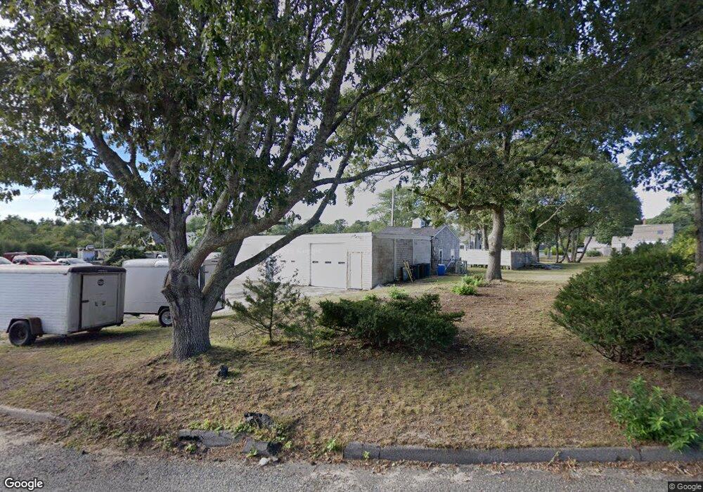
153 Upper County Rd Dennis Port, MA 2639
Dennis Port NeighborhoodEstimated Value: $452,494
2
Beds
1
Bath
1,060
Sq Ft
$427/Sq Ft
Est. Value
About This Home
This home is located at 153 Upper County Rd, Dennis Port, MA 2639 and is currently estimated at $452,494, approximately $426 per square foot. 153 Upper County Rd is a home located in Barnstable County with nearby schools including Dennis-Yarmouth Regional High School and St. Pius X. School.
Ownership History
Date
Name
Owned For
Owner Type
Purchase Details
Closed on
Nov 22, 2022
Sold by
Ray Caterino T and Ray Caterino
Bought by
Elies Landscaping Inc
Current Estimated Value
Home Financials for this Owner
Home Financials are based on the most recent Mortgage that was taken out on this home.
Original Mortgage
$300,000
Outstanding Balance
$289,116
Interest Rate
7.08%
Mortgage Type
Purchase Money Mortgage
Estimated Equity
$163,378
Purchase Details
Closed on
Dec 16, 2010
Sold by
Caterino Raymond
Bought by
Ray Caterino and Ray Caterino
Purchase Details
Closed on
Mar 23, 2001
Sold by
Bowles Arthur
Bought by
Northern Nt and Caterino
Purchase Details
Closed on
Mar 13, 1995
Sold by
Lane Isabel and Livingston Flora I
Bought by
Caterino Raymond
Create a Home Valuation Report for This Property
The Home Valuation Report is an in-depth analysis detailing your home's value as well as a comparison with similar homes in the area
Home Values in the Area
Average Home Value in this Area
Purchase History
| Date | Buyer | Sale Price | Title Company |
|---|---|---|---|
| Elies Landscaping Inc | $380,000 | None Available | |
| Elies Landscaping Inc | $380,000 | None Available | |
| Elies Landscaping Inc | $380,000 | None Available | |
| Ray Caterino | -- | -- | |
| Ray Caterino T | -- | -- | |
| Ray Caterino T | -- | -- | |
| Northern Nt | $1,000 | -- | |
| Northern Nt | $1,000 | -- | |
| Caterino Raymond | $105,800 | -- | |
| Caterino Raymond | $105,800 | -- |
Source: Public Records
Mortgage History
| Date | Status | Borrower | Loan Amount |
|---|---|---|---|
| Open | Elies Landscaping Inc | $300,000 | |
| Closed | Elies Landscaping Inc | $300,000 | |
| Previous Owner | Caterino Raymond | $96,600 | |
| Previous Owner | Caterino Raymond | $150,000 |
Source: Public Records
Tax History
| Year | Tax Paid | Tax Assessment Tax Assessment Total Assessment is a certain percentage of the fair market value that is determined by local assessors to be the total taxable value of land and additions on the property. | Land | Improvement |
|---|---|---|---|---|
| 2025 | $1,858 | $429,000 | $206,400 | $222,600 |
| 2024 | $1,828 | $416,300 | $210,100 | $206,200 |
| 2023 | $2,189 | $468,700 | $191,000 | $277,700 |
| 2022 | $2,469 | $440,900 | $191,200 | $249,700 |
| 2021 | $1,787 | $296,400 | $168,700 | $127,700 |
| 2020 | $1,800 | $295,000 | $168,700 | $126,300 |
| 2019 | $1,821 | $295,100 | $165,400 | $129,700 |
| 2018 | $3,814 | $271,300 | $157,400 | $113,900 |
| 2017 | $1,691 | $275,000 | $157,400 | $117,600 |
| 2016 | $1,790 | $274,100 | $174,900 | $99,200 |
| 2015 | $1,754 | $274,100 | $174,900 | $99,200 |
| 2014 | $1,539 | $242,400 | $140,000 | $102,400 |
Source: Public Records
Map
Nearby Homes
- 12 Candlewood Ln Unit 2-3
- 12 Candlewood Ln Unit 1-6
- 10 Candlewood Ln Unit 2
- 10 Candlewood Ln Unit 2-10
- 9 Country Ln
- 121A Depot St
- 12 Indian Trail
- 24 Indian Trail
- 334 Depot St
- 268 Main St
- 41 Center St
- 157 Depot St Unit 5
- 20 Indian Mound Trail
- 18 Cross St
- 13 Carol Ln
- 11 Lane Rd
- 117 Depot St
- 41 Bassett Ln
- 97 Depot St
- 6 Raintree Rd
- 153 Upper County Rd
- 153 Upper County Rd
- 10 Candlewood Condo Ln Unit U2-11
- 163 Upper County Rd
- 143 Upper County Rd
- 158 Upper County Rd
- 158 Upper County Rd
- 327 Sea St
- 327 Sea St Unit 327
- 327 Sea St Unit 1-2
- 2 Clipper Ln
- 321 & 321A Sea St
- 321 Sea St
- 20 Candlewood Ln
- 150 Upper County Rd
- 18 Candlewood Ln
- 3 Clipper Ln
- 3 Clipper Ln W
- 317 Sea St
- 4 Clipper Ln
Your Personal Tour Guide
Ask me questions while you tour the home.