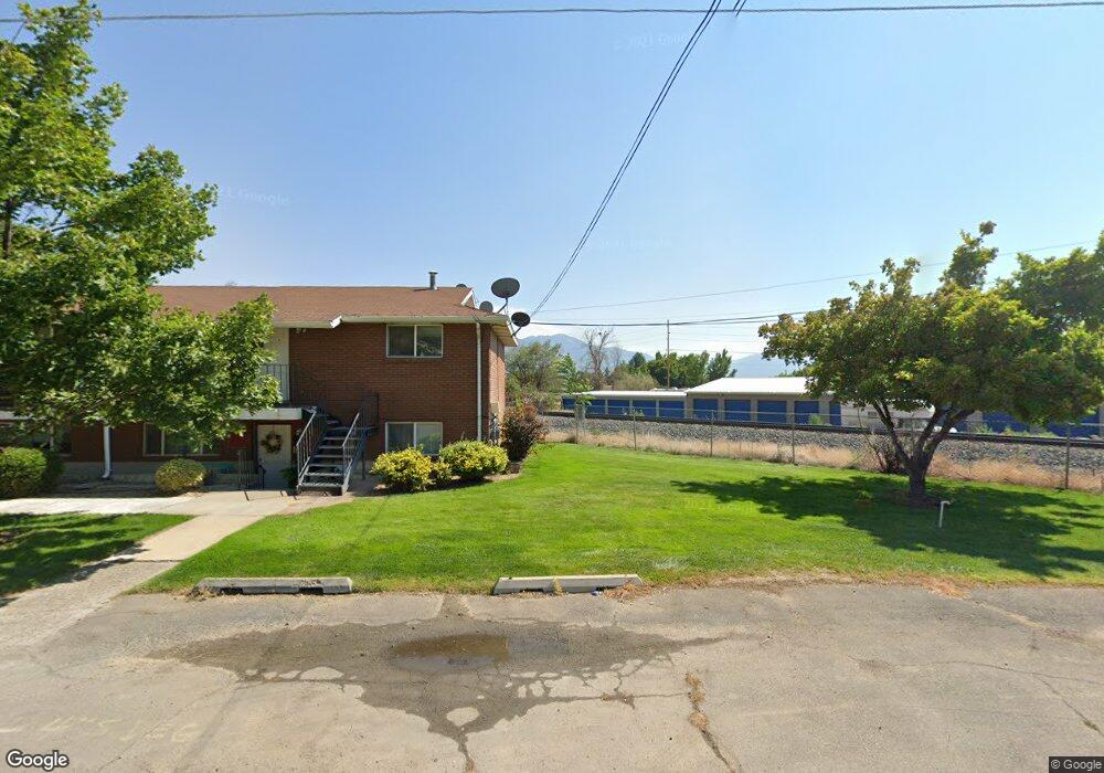
153 W 700 S Unit PVRB Spanish Fork, UT 84660
Estimated Value: $361,000 - $391,000
3
Beds
3
Baths
1,402
Sq Ft
$266/Sq Ft
Est. Value
About This Home
This home is located at 153 W 700 S Unit PVRB, Spanish Fork, UT 84660 and is currently estimated at $372,934, approximately $266 per square foot. 153 W 700 S Unit PVRB is a home located in Utah County with nearby schools including Riverview Elementary School, Spanish Fork Jr High School, and Spanish Fork High School.
Ownership History
Date
Name
Owned For
Owner Type
Purchase Details
Closed on
Apr 4, 2018
Sold by
Salisbury Land Development Llc
Bought by
Sorensen Brad
Current Estimated Value
Home Financials for this Owner
Home Financials are based on the most recent Mortgage that was taken out on this home.
Original Mortgage
$920,800
Interest Rate
3.99%
Mortgage Type
Construction
Purchase Details
Closed on
Feb 6, 2018
Sold by
Salisbbury Developers Inc
Bought by
Salisbury Land Development Llc
Home Financials for this Owner
Home Financials are based on the most recent Mortgage that was taken out on this home.
Original Mortgage
$920,800
Interest Rate
3.99%
Mortgage Type
Construction
Create a Home Valuation Report for This Property
The Home Valuation Report is an in-depth analysis detailing your home's value as well as a comparison with similar homes in the area
Home Values in the Area
Average Home Value in this Area
Purchase History
| Date | Buyer | Sale Price | Title Company |
|---|---|---|---|
| Sorensen Brad | -- | Cottonwood Title | |
| Salisbury Land Development Llc | -- | Cottonwood Title Ins Agency |
Source: Public Records
Mortgage History
| Date | Status | Borrower | Loan Amount |
|---|---|---|---|
| Previous Owner | Salisbury Land Development Llc | $920,800 |
Source: Public Records
Tax History Compared to Growth
Tax History
| Year | Tax Paid | Tax Assessment Tax Assessment Total Assessment is a certain percentage of the fair market value that is determined by local assessors to be the total taxable value of land and additions on the property. | Land | Improvement |
|---|---|---|---|---|
| 2025 | $1,856 | $195,360 | $52,200 | $303,000 |
| 2024 | $1,804 | $191,290 | $0 | $0 |
| 2023 | $1,804 | $186,175 | $0 | $0 |
| 2022 | $2,091 | $211,585 | $0 | $0 |
| 2021 | $1,787 | $289,300 | $43,400 | $245,900 |
| 2020 | $1,677 | $264,000 | $40,200 | $223,800 |
| 2019 | $1,401 | $232,000 | $31,500 | $200,500 |
| 2018 | $239 | $11,550 | $0 | $0 |
Source: Public Records
Map
Nearby Homes
- 733 S 170 W
- 134 W 700 S
- 721 S 110 W
- 351 W 530 S
- 858 S 200 E Unit 3 -201
- 858 S 200 E Unit 3 303
- 324 S St Unit 204
- 837 S 200 E Unit 5-303
- 837 S 200 E Unit 5-201
- 837 S 200 E Unit 301
- 325 S St Unit 203
- 237 E 850 S Unit 137
- 298 S St Unit 205
- 216 E 850 S Unit 6-204
- 216 E 850 S Unit 6-201
- 216 E 850 S Unit 6-101
- 216 E 850 S Unit 6-203
- 103 E 400 S
- 225 W 300 S
- The Afton Plan at River Run
- 147 W 700 S Unit PVFL
- 141 W 700 S Unit PVFL
- 723 S 170 W Unit 42
- 135 W 700 S Unit PVFL
- 729 S 170 W
- 131 W 700 S Unit PVFL
- 152 W 700 S
- 152 W 700 S Unit PVRB
- 146 W 700 S
- 142 W 700 S Unit PVFL
- 125 W 700 S Unit 63M
- 741 S 170 W
- 724 S 110 W
- 706 S 170 W
- 708 S 170 W Unit 35
- 128 W 700 S Unit 56L
- 728 S 110 W Unit 65N
- 722 S 170 W
- 694 S 170 W
- 745 S 170 W