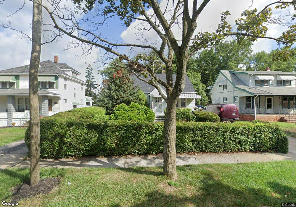
153 William St Bedford, OH 44146
Estimated Value: $144,933 - $188,000
3
Beds
2
Baths
1,180
Sq Ft
$139/Sq Ft
Est. Value
About This Home
This home is located at 153 William St, Bedford, OH 44146 and is currently estimated at $164,483, approximately $139 per square foot. 153 William St is a home located in Cuyahoga County with nearby schools including Heskett Middle School, Bedford High School, and Ohio College Preparatory School.
Ownership History
Date
Name
Owned For
Owner Type
Purchase Details
Closed on
Oct 26, 1992
Sold by
Yusko Julia T
Bought by
Hendking Albert J
Current Estimated Value
Purchase Details
Closed on
Jan 1, 1975
Bought by
Yusko Julia T
Create a Home Valuation Report for This Property
The Home Valuation Report is an in-depth analysis detailing your home's value as well as a comparison with similar homes in the area
Home Values in the Area
Average Home Value in this Area
Purchase History
| Date | Buyer | Sale Price | Title Company |
|---|---|---|---|
| Hendking Albert J | $82,000 | -- | |
| Yusko Julia T | -- | -- |
Source: Public Records
Tax History
| Year | Tax Paid | Tax Assessment Tax Assessment Total Assessment is a certain percentage of the fair market value that is determined by local assessors to be the total taxable value of land and additions on the property. | Land | Improvement |
|---|---|---|---|---|
| 2024 | $3,377 | $43,715 | $8,925 | $34,790 |
| 2023 | $2,831 | $31,260 | $7,630 | $23,630 |
| 2022 | $2,507 | $31,260 | $7,630 | $23,630 |
| 2021 | $2,431 | $31,260 | $7,630 | $23,630 |
| 2020 | $2,284 | $26,250 | $6,410 | $19,850 |
| 2019 | $2,226 | $75,000 | $18,300 | $56,700 |
| 2018 | $2,189 | $26,250 | $6,410 | $19,850 |
| 2017 | $2,187 | $24,500 | $5,880 | $18,620 |
| 2016 | $2,169 | $24,500 | $5,880 | $18,620 |
| 2015 | $2,162 | $24,500 | $5,880 | $18,620 |
| 2014 | $2,162 | $26,640 | $6,410 | $20,230 |
Source: Public Records
Map
Nearby Homes
Your Personal Tour Guide
Ask me questions while you tour the home.