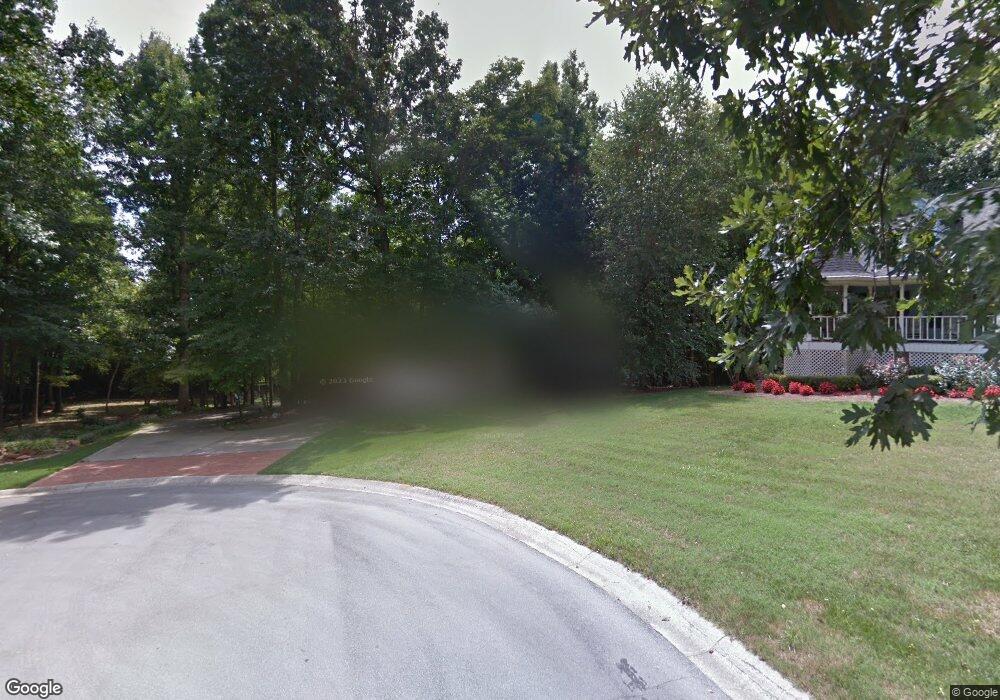
153 York Place Calhoun, GA 30701
Estimated Value: $671,194 - $795,000
4
Beds
3
Baths
2,942
Sq Ft
$252/Sq Ft
Est. Value
About This Home
This home is located at 153 York Place, Calhoun, GA 30701 and is currently estimated at $742,049, approximately $252 per square foot. 153 York Place is a home located in Gordon County with nearby schools including Calhoun Primary School, Calhoun Elementary School, and Calhoun Middle School.
Ownership History
Date
Name
Owned For
Owner Type
Purchase Details
Closed on
Apr 11, 2022
Sold by
Lewis Gary L
Bought by
Abraham Donny and Abraham Brenda
Current Estimated Value
Home Financials for this Owner
Home Financials are based on the most recent Mortgage that was taken out on this home.
Original Mortgage
$598,500
Outstanding Balance
$525,286
Interest Rate
3.76%
Mortgage Type
New Conventional
Estimated Equity
$216,763
Purchase Details
Closed on
Apr 6, 2011
Sold by
Grogan L C
Bought by
Lewis Gary L and Lewis Gloria H
Home Financials for this Owner
Home Financials are based on the most recent Mortgage that was taken out on this home.
Original Mortgage
$276,000
Interest Rate
4.85%
Mortgage Type
New Conventional
Purchase Details
Closed on
Nov 7, 2000
Sold by
Stephens Mary Will
Bought by
Grogan Grogan L and Grogan Janie
Create a Home Valuation Report for This Property
The Home Valuation Report is an in-depth analysis detailing your home's value as well as a comparison with similar homes in the area
Home Values in the Area
Average Home Value in this Area
Purchase History
| Date | Buyer | Sale Price | Title Company |
|---|---|---|---|
| Abraham Donny | $630,000 | -- | |
| Lewis Gary L | $371,000 | -- | |
| Grogan Grogan L | $31,500 | -- |
Source: Public Records
Mortgage History
| Date | Status | Borrower | Loan Amount |
|---|---|---|---|
| Open | Abraham Donny | $598,500 | |
| Previous Owner | Lewis Gary L | $276,000 |
Source: Public Records
Tax History Compared to Growth
Tax History
| Year | Tax Paid | Tax Assessment Tax Assessment Total Assessment is a certain percentage of the fair market value that is determined by local assessors to be the total taxable value of land and additions on the property. | Land | Improvement |
|---|---|---|---|---|
| 2024 | $6,925 | $246,960 | $10,640 | $236,320 |
| 2023 | $6,434 | $229,480 | $10,640 | $218,840 |
| 2022 | $1,504 | $160,040 | $10,640 | $149,400 |
| 2021 | $3,352 | $136,800 | $10,640 | $126,160 |
| 2020 | $3,666 | $146,400 | $10,640 | $135,760 |
| 2019 | $3,658 | $146,400 | $10,640 | $135,760 |
| 2018 | $1,303 | $137,320 | $10,640 | $126,680 |
| 2017 | $1,269 | $131,120 | $10,640 | $120,480 |
| 2016 | $1,272 | $131,120 | $10,640 | $120,480 |
| 2015 | $1,267 | $129,000 | $10,640 | $118,360 |
| 2014 | $1,226 | $126,531 | $10,640 | $115,891 |
Source: Public Records
Map
Nearby Homes
- 129 Derby Ln
- 130 Cambridge Ct
- 140 Cambridge Ct
- 326 Curtis Pkwy NE
- 127 Windsor Dr
- 133 Kentucky Dr NE
- 112 Willowbrook Dr SE
- 114 Lindsey Ct NE
- 202 Montclair Dr
- 195 Dogwood Dr SE
- 209 Willowbrook Dr SE
- 220 Lenox Rd SE
- 2148 Red Bud Rd NE
- 62 Professional Place Unit 30
- 107 Savoy Place SE
- 121 Hunt Dr
- 114 Vinings Way SE
- 0 Redwood St Unit 7563377
- 0 Redwood St Unit 10553706
- 104 Bobwhite Dr
- 101 Waterside Trail
- 155 York Place
- 135 York Place
- 119 Kent Ln
- 117 York Place
- 0 Kent Dr Unit 8444375
- 117 Waterside Ridge
- 133 Derby Ln
- 120 Waterside Ridge
- 115 Waterside Ridge
- 111 Waterside Ridge
- 109 Waterside Ridge
- 112 Waterside Ridge
- 119 Waterside Ridge
- 126 Waterside Ridge
- 124 Waterside Ridge
- 123 Waterside Ridge
- 190 Curtis Pkwy NE
- 113 Waterside Ridge
- 114 Waterside Ridge