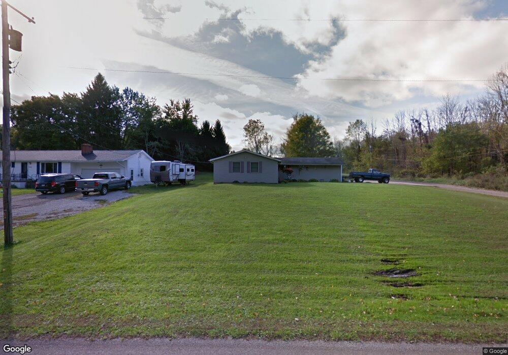
1530 Chew Rd Mansfield, OH 44903
Estimated Value: $215,000 - $251,000
3
Beds
2
Baths
1,328
Sq Ft
$175/Sq Ft
Est. Value
About This Home
This home is located at 1530 Chew Rd, Mansfield, OH 44903 and is currently estimated at $232,070, approximately $174 per square foot. 1530 Chew Rd is a home located in Richland County with nearby schools including Lucas Elementary School, Lucas Heritage Middle School, and Lucas High School.
Ownership History
Date
Name
Owned For
Owner Type
Purchase Details
Closed on
Sep 16, 2005
Sold by
Zimmerman John D and Zimmerman Robin S
Bought by
Cox Jason D and Cox Holly R
Current Estimated Value
Home Financials for this Owner
Home Financials are based on the most recent Mortgage that was taken out on this home.
Original Mortgage
$111,900
Outstanding Balance
$60,167
Interest Rate
5.93%
Mortgage Type
Fannie Mae Freddie Mac
Estimated Equity
$171,903
Purchase Details
Closed on
Feb 13, 2004
Sold by
Zimmerman John D and Zimmerman Robin S
Bought by
The John D & Robin S Zimmerman Family Tr
Purchase Details
Closed on
Sep 1, 1985
Create a Home Valuation Report for This Property
The Home Valuation Report is an in-depth analysis detailing your home's value as well as a comparison with similar homes in the area
Home Values in the Area
Average Home Value in this Area
Purchase History
| Date | Buyer | Sale Price | Title Company |
|---|---|---|---|
| Cox Jason D | $111,900 | Southern Title | |
| The John D & Robin S Zimmerman Family Tr | -- | -- | |
| -- | $32,000 | -- |
Source: Public Records
Mortgage History
| Date | Status | Borrower | Loan Amount |
|---|---|---|---|
| Open | Cox Jason D | $111,900 |
Source: Public Records
Tax History Compared to Growth
Tax History
| Year | Tax Paid | Tax Assessment Tax Assessment Total Assessment is a certain percentage of the fair market value that is determined by local assessors to be the total taxable value of land and additions on the property. | Land | Improvement |
|---|---|---|---|---|
| 2024 | $2,541 | $58,160 | $8,640 | $49,520 |
| 2023 | $2,541 | $58,160 | $8,640 | $49,520 |
| 2022 | $2,130 | $42,700 | $7,420 | $35,280 |
| 2021 | $2,164 | $42,700 | $7,420 | $35,280 |
| 2020 | $2,055 | $42,700 | $7,420 | $35,280 |
| 2019 | $1,841 | $35,790 | $6,220 | $29,570 |
| 2018 | $1,894 | $35,790 | $6,220 | $29,570 |
| 2017 | $1,799 | $35,790 | $6,220 | $29,570 |
| 2016 | $1,691 | $31,800 | $5,290 | $26,510 |
| 2015 | $1,691 | $31,800 | $5,290 | $26,510 |
| 2014 | $1,635 | $31,800 | $5,290 | $26,510 |
| 2012 | $823 | $32,770 | $5,450 | $27,320 |
Source: Public Records
Map
Nearby Homes
- 1875 Mansfield Lucas Rd
- 0 State Route 39 & I-71 Southeast Quadrant
- 0 State Route 39 & I-71 Northeast Quadrant
- 929 Antionette Dr
- 1679 Pulver Rd
- 2061 Washington North Rd
- 0 Woodville Rd Unit Lot 14952, 14953
- 0 Woodville Rd Unit Lot 14954, 14955
- 0 Woodville Rd Unit Lot 14956, 14957,
- 794 Mansfield Washington Rd
- 1135 E Hanley Rd
- 716 Mansfield Washington Rd
- 36 Ridge Rd S
- 174 W Main St
- 0 Mcelroy Rd
- 76 Ford Rd N
- 369 Davidson St
- 0 Peterson Rd
- 155 Ford Rd N Unit Lot 30
- 155 Ford Rd N