1530 Highway 65 New Richmond, WI 54017
Estimated Value: $86,661 - $341,000
--
Bed
--
Bath
--
Sq Ft
2.15
Acres
About This Home
This home is located at 1530 Highway 65, New Richmond, WI 54017 and is currently estimated at $189,915. 1530 Highway 65 is a home located in St. Croix County with nearby schools including New Richmond High School and St. Mary School.
Ownership History
Date
Name
Owned For
Owner Type
Purchase Details
Closed on
Jun 6, 2022
Sold by
Ward Mclaren Matthew and Ward Marie Melissa
Bought by
Depaulis Tyler Jordan and Berg Sarah Ann
Current Estimated Value
Home Financials for this Owner
Home Financials are based on the most recent Mortgage that was taken out on this home.
Original Mortgage
$42,750
Interest Rate
5.27%
Mortgage Type
New Conventional
Purchase Details
Closed on
Aug 23, 2021
Sold by
Derrick Steven J
Bought by
Mclaren Matthew Ward and Mclaren Malissa Marie
Home Financials for this Owner
Home Financials are based on the most recent Mortgage that was taken out on this home.
Original Mortgage
$40,800
Interest Rate
2.7%
Mortgage Type
New Conventional
Create a Home Valuation Report for This Property
The Home Valuation Report is an in-depth analysis detailing your home's value as well as a comparison with similar homes in the area
Home Values in the Area
Average Home Value in this Area
Purchase History
| Date | Buyer | Sale Price | Title Company |
|---|---|---|---|
| Depaulis Tyler Jordan | $57,000 | None Listed On Document | |
| Mclaren Matthew Ward | $51,000 | None Available |
Source: Public Records
Mortgage History
| Date | Status | Borrower | Loan Amount |
|---|---|---|---|
| Closed | Depaulis Tyler Jordan | $42,750 | |
| Previous Owner | Mclaren Matthew Ward | $40,800 |
Source: Public Records
Tax History Compared to Growth
Tax History
| Year | Tax Paid | Tax Assessment Tax Assessment Total Assessment is a certain percentage of the fair market value that is determined by local assessors to be the total taxable value of land and additions on the property. | Land | Improvement |
|---|---|---|---|---|
| 2024 | $6 | $44,500 | $44,500 | $0 |
| 2023 | $585 | $44,500 | $44,500 | $0 |
| 2022 | $3 | $44,500 | $44,500 | $0 |
| 2021 | $3 | $300 | $300 | $0 |
| 2020 | $6 | $200 | $200 | $0 |
| 2019 | $5 | $300 | $300 | $0 |
| 2018 | $5 | $300 | $300 | $0 |
| 2017 | $5 | $300 | $300 | $0 |
| 2016 | $5 | $300 | $300 | $0 |
| 2015 | $5 | $300 | $300 | $0 |
| 2014 | $5 | $300 | $300 | $0 |
| 2013 | $5 | $300 | $300 | $0 |
Source: Public Records
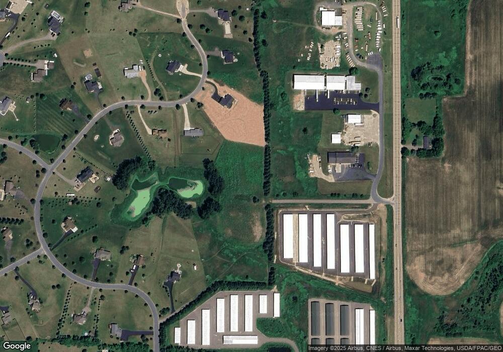
Map
Nearby Homes
- 1318 146th Ave
- 1438 129th St
- 1824 White Pine Way
- 524 Cassandra Dr Unit 44
- 1137 Sugar Pine Ln
- 1149 Sugar Pine Ln
- TBD Cattail Ln Unit Lot 7
- TBD Cattail Ln Unit Lot 8
- TBD Cattail Ln Unit Lot 9
- 572 Williamsburg Place
- 425 Paperjack Dr
- 1575 Evan Ct
- 1448 142nd St
- 1417 146th Ave
- 1565 Ponderosa Ln
- 1600 Hallewood Blvd
- 1422 Creekwood Dr
- 1430 Creekwood Dr
- 1549 Creekwood Dr
- 1448 Valley Creek Dr
- 1530 Hwy 65
- 1530 Wisconsin 65
- 1528 Highway 65
- 1528 Wisconsin 65
- 1555 127th St
- 1559 127th St
- 1559 127th Street St
- 1536 Highway 65
- 1536 Wisconsin 65
- 1551 127th St
- 1515 127th St
- 1563 127th St
- 1517 127th St
- 1521 127th St
- 1543 127th St
- 1540 Highway 65
- 1558 127th St
- 1552 127th St
- 1544 Highway 65
- 1537 127th St