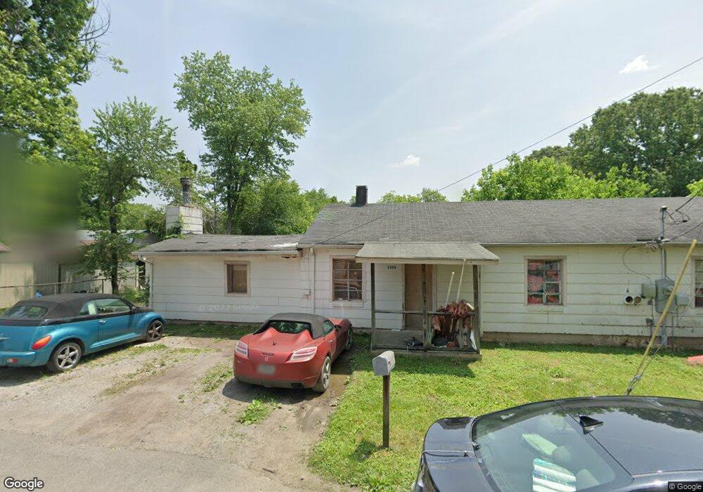
1530 Myrt St Rossville, GA 30741
Estimated Value: $57,228 - $206,000
--
Bed
--
Bath
--
Sq Ft
0.46
Acres
About This Home
This home is located at 1530 Myrt St, Rossville, GA 30741 and is currently estimated at $126,807. 1530 Myrt St is a home with nearby schools including Stone Creek Elementary School, Rossville Middle School, and Ridgeland High School.
Ownership History
Date
Name
Owned For
Owner Type
Purchase Details
Closed on
Apr 27, 2020
Sold by
Warren Lloyd Franklin
Bought by
Warren Laura J and Warren Hazel A
Current Estimated Value
Purchase Details
Closed on
Jun 22, 2000
Sold by
Hall Laura A and Hall David M
Bought by
Warren Lloyd Franklin
Purchase Details
Closed on
Oct 6, 1997
Sold by
Hall Laura Ann
Bought by
Hall Laura A and Hall David M
Purchase Details
Closed on
Jun 21, 1993
Sold by
Lawson Dollie M
Bought by
Hall Laura Ann
Purchase Details
Closed on
Jun 15, 1992
Sold by
Massengale David
Bought by
Lawson Dollie M
Purchase Details
Closed on
Jan 31, 1992
Sold by
Lawson Dollie M
Bought by
Massengale David
Purchase Details
Closed on
Sep 30, 1990
Sold by
Frady James E and Mia Darlene
Bought by
Lawson Dollie M
Purchase Details
Closed on
Jan 15, 1987
Sold by
Thornton Olen L and Thornton Mary J
Bought by
Frady James E and Mia Darlene
Purchase Details
Closed on
Aug 30, 1985
Bought by
Thornton Olen L and Thornton Mary J
Create a Home Valuation Report for This Property
The Home Valuation Report is an in-depth analysis detailing your home's value as well as a comparison with similar homes in the area
Home Values in the Area
Average Home Value in this Area
Purchase History
| Date | Buyer | Sale Price | Title Company |
|---|---|---|---|
| Warren Laura J | -- | -- | |
| Warren Lloyd Franklin | $10,000 | -- | |
| Hall Laura A | -- | -- | |
| Hall Laura Ann | -- | -- | |
| Lawson Dollie M | -- | -- | |
| Massengale David | -- | -- | |
| Lawson Dollie M | $4,200 | -- | |
| Frady James E | $4,200 | -- | |
| Thornton Olen L | -- | -- |
Source: Public Records
Tax History Compared to Growth
Tax History
| Year | Tax Paid | Tax Assessment Tax Assessment Total Assessment is a certain percentage of the fair market value that is determined by local assessors to be the total taxable value of land and additions on the property. | Land | Improvement |
|---|---|---|---|---|
| 2024 | $139 | $6,846 | $4,600 | $2,246 |
| 2023 | $142 | $6,846 | $4,600 | $2,246 |
| 2022 | $159 | $6,846 | $4,600 | $2,246 |
| 2021 | $129 | $5,000 | $3,128 | $1,872 |
| 2020 | $133 | $5,000 | $3,128 | $1,872 |
| 2019 | $229 | $8,400 | $6,528 | $1,872 |
| 2018 | $222 | $8,400 | $6,528 | $1,872 |
| 2017 | $251 | $8,400 | $6,528 | $1,872 |
| 2016 | $206 | $8,400 | $6,528 | $1,872 |
| 2015 | $91 | $3,502 | $2,424 | $1,078 |
| 2014 | $76 | $3,024 | $2,424 | $600 |
| 2013 | -- | $3,024 | $2,424 | $600 |
Source: Public Records
Map
Nearby Homes
- 732 Salem Rd
- 211 Pat Webb Cir
- 610 Union Ave
- 724 Shelly Ln
- 717 W James St
- 715 W James St
- 601 James St
- 635 N Sherry Dr
- 58 Quarter St
- 52 Quarter St
- 44 Quarter St
- 275 Quarter St
- 33 Quarter St
- 27 Quarter St
- 19 Quarter St
- 11 Quarter St
- Penwell Plan at Hawk's Ridge
- Hanover Plan at Hawk's Ridge
- Edmon Plan at Hawk's Ridge
- Cali Plan at Hawk's Ridge
- 705 Mary Agnes Dr
- 703 Mary Agnes Dr
- 1526 Myrt St
- 707 Mary Agnes Dr
- 701 Mary Agnes Dr
- 709 Mary Agnes Dr
- 1517 Wilson Rd
- 710 Dorothy St
- 708 Dorothy St
- 1519 Wilson Rd
- 1525 Myrt St
- 708 Mary Agnes Dr
- 1513 Wilson Rd
- 1527 Myrt St
- 706 Mary Agnes Dr
- 704 Dorothy St
- 704 Mary Agnes Dr
- 711 Mary Agnes Dr
- 706 Dorothy St
- 1529 Myrt St