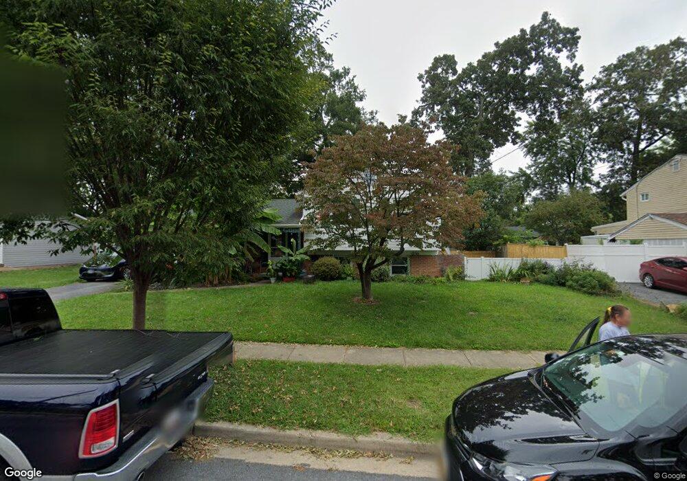
15301 Alan Dr Laurel, MD 20707
Estimated Value: $418,000 - $482,000
Studio
3
Baths
1,722
Sq Ft
$256/Sq Ft
Est. Value
About This Home
This home is located at 15301 Alan Dr, Laurel, MD 20707 and is currently estimated at $440,102, approximately $255 per square foot. 15301 Alan Dr is a home located in Prince George's County with nearby schools including Scotchtown Hills Elementary School, Dwight D. Eisenhower Middle School, and Laurel High School.
Ownership History
Date
Name
Owned For
Owner Type
Purchase Details
Closed on
Oct 6, 2005
Sold by
Guiffre John T
Bought by
Howell Carolyn M
Current Estimated Value
Home Financials for this Owner
Home Financials are based on the most recent Mortgage that was taken out on this home.
Original Mortgage
$269,999
Outstanding Balance
$144,087
Interest Rate
5.81%
Mortgage Type
New Conventional
Estimated Equity
$296,015
Purchase Details
Closed on
Oct 12, 1999
Sold by
Guiffre John T
Bought by
Guiffre John T
Create a Home Valuation Report for This Property
The Home Valuation Report is an in-depth analysis detailing your home's value as well as a comparison with similar homes in the area
Home Values in the Area
Average Home Value in this Area
Purchase History
| Date | Buyer | Sale Price | Title Company |
|---|---|---|---|
| Howell Carolyn M | $369,999 | -- | |
| Guiffre John T | -- | -- |
Source: Public Records
Mortgage History
| Date | Status | Borrower | Loan Amount |
|---|---|---|---|
| Open | Howell Carolyn M | $269,999 | |
| Closed | Howell Carolyn M | $100,000 |
Source: Public Records
Tax History Compared to Growth
Tax History
| Year | Tax Paid | Tax Assessment Tax Assessment Total Assessment is a certain percentage of the fair market value that is determined by local assessors to be the total taxable value of land and additions on the property. | Land | Improvement |
|---|---|---|---|---|
| 2025 | $5,365 | $349,900 | $101,200 | $248,700 |
| 2024 | $5,365 | $326,533 | -- | -- |
| 2023 | $5,048 | $303,167 | $0 | $0 |
| 2022 | $4,685 | $279,800 | $101,200 | $178,600 |
| 2021 | $4,380 | $260,367 | $0 | $0 |
| 2020 | $4,170 | $240,933 | $0 | $0 |
| 2019 | $3,952 | $221,500 | $75,600 | $145,900 |
| 2018 | $3,836 | $214,267 | $0 | $0 |
| 2017 | $3,742 | $207,033 | $0 | $0 |
| 2016 | -- | $199,800 | $0 | $0 |
| 2015 | $3,313 | $196,733 | $0 | $0 |
| 2014 | $3,313 | $193,667 | $0 | $0 |
Source: Public Records
Map
Nearby Homes
- 7631 S Arbory Ln
- 7646 S Arbory Ln
- 1009 Turney Ave
- 7651 E Arbory Ct
- 15116 Laurel Oaks Ln
- 1028 Ward St
- 8112 Fenwick Ct
- 1012 Ward St
- 14811 Belle Ami Dr
- 15046 Cherrywood Dr
- 8040 Sandy Spring Rd
- 8218 Londonderry Ct
- 15020 Cherrywood Dr
- 1004 Marton St
- 15743 Millbrook Ln
- 15781 Haynes Rd
- 15603 Dorset Rd Unit 101
- 903 Montrose Ave
- 14902 Ashford Place
- 14633 Cambridge Cir