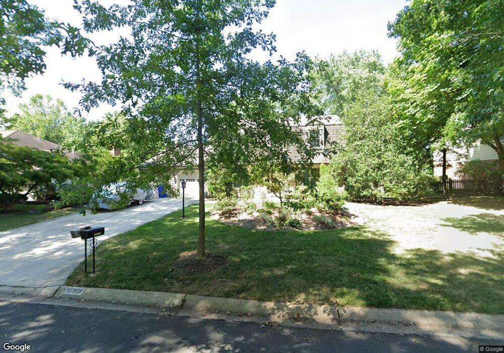
15308 Durant St Silver Spring, MD 20905
Estimated Value: $594,123 - $721,000
Studio
3
Baths
2,559
Sq Ft
$261/Sq Ft
Est. Value
About This Home
This home is located at 15308 Durant St, Silver Spring, MD 20905 and is currently estimated at $667,781, approximately $260 per square foot. 15308 Durant St is a home located in Montgomery County with nearby schools including Cloverly Elementary School, Briggs Chaney Middle School, and Paint Branch High School.
Ownership History
Date
Name
Owned For
Owner Type
Purchase Details
Closed on
Aug 12, 2025
Sold by
Colton Philip B and Westin-Colton Nancy J
Bought by
Philip Barry Colton and Philip Nancy Jane
Current Estimated Value
Purchase Details
Closed on
Dec 6, 1994
Sold by
Patten John H
Bought by
Colton Philip B
Home Financials for this Owner
Home Financials are based on the most recent Mortgage that was taken out on this home.
Original Mortgage
$211,500
Interest Rate
8.81%
Create a Home Valuation Report for This Property
The Home Valuation Report is an in-depth analysis detailing your home's value as well as a comparison with similar homes in the area
Home Values in the Area
Average Home Value in this Area
Purchase History
| Date | Buyer | Sale Price | Title Company |
|---|---|---|---|
| Philip Barry Colton | -- | None Listed On Document | |
| Colton Philip B | $223,000 | -- |
Source: Public Records
Mortgage History
| Date | Status | Borrower | Loan Amount |
|---|---|---|---|
| Previous Owner | Colton Philip B | $211,500 |
Source: Public Records
Tax History
| Year | Tax Paid | Tax Assessment Tax Assessment Total Assessment is a certain percentage of the fair market value that is determined by local assessors to be the total taxable value of land and additions on the property. | Land | Improvement |
|---|---|---|---|---|
| 2025 | $6,028 | $515,533 | -- | -- |
| 2024 | $6,028 | $484,767 | $0 | $0 |
| 2023 | $4,958 | $454,000 | $219,400 | $234,600 |
| 2022 | $4,679 | $449,767 | $0 | $0 |
| 2021 | $4,507 | $445,533 | $0 | $0 |
| 2020 | $4,507 | $441,300 | $219,400 | $221,900 |
| 2019 | $4,377 | $430,933 | $0 | $0 |
| 2018 | $4,263 | $420,567 | $0 | $0 |
| 2017 | $4,232 | $410,200 | $0 | $0 |
| 2016 | -- | $398,033 | $0 | $0 |
| 2015 | $3,875 | $385,867 | $0 | $0 |
| 2014 | $3,875 | $373,700 | $0 | $0 |
Source: Public Records
Map
Nearby Homes
- 15533 Thompson Rd
- 14917 Claude Ln
- 1701 Maydale Dr
- 1600 Rainbow Dr
- 15330 Hildegard Ln
- 1320 Rainbow Dr
- 2307 Spencerville Rd
- 2304 Holly Spring Dr
- 15408 Valencia St
- 14740 Locustwood Ln
- 1400 Spencerville Rd
- 4 Ansted Ct
- 1401 Elm Grove Cir
- 1225 Spencerville Rd
- 15801 New Hampshire Ave
- 14232 Bradshaw Dr
- 3213 Greencastle Rd
- 2321 Nees Ln
- 401 Bryants Nursery Rd
- 550 Bryants Nursery Rd
- 15312 Durant St
- 15304 Durant St
- 15309 Beaufort Place
- 15305 Beaufort Place
- 15316 Durant St
- 15313 Beaufort Place
- 15300 Durant St
- 15313 Durant St
- 15309 Durant St
- 15301 Beaufort Place
- 15305 Durant St
- 15317 Durant St
- 15301 Durant St
- 15317 Beaufort Place
- 15321 Durant St
- 5 Montford Ct
- 15308 Beaufort Place
- 15304 Beaufort Place
- 1916 Hopefield Rd
- 1 Montford Ct
Your Personal Tour Guide
Ask me questions while you tour the home.