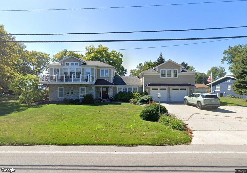
1531 Cedar Point Rd Sandusky, OH 44870
Estimated Value: $1,038,276 - $1,283,000
4
Beds
3
Baths
3,534
Sq Ft
$323/Sq Ft
Est. Value
About This Home
This home is located at 1531 Cedar Point Rd, Sandusky, OH 44870 and is currently estimated at $1,142,092, approximately $323 per square foot. 1531 Cedar Point Rd is a home located in Erie County with nearby schools including Sandusky High School.
Ownership History
Date
Name
Owned For
Owner Type
Purchase Details
Closed on
Apr 16, 2012
Sold by
Bailey Michael S and Bailey Hope D
Bought by
Foster Douglas W and Foster Trudy D
Current Estimated Value
Home Financials for this Owner
Home Financials are based on the most recent Mortgage that was taken out on this home.
Original Mortgage
$376,000
Interest Rate
3.92%
Mortgage Type
New Conventional
Create a Home Valuation Report for This Property
The Home Valuation Report is an in-depth analysis detailing your home's value as well as a comparison with similar homes in the area
Home Values in the Area
Average Home Value in this Area
Purchase History
| Date | Buyer | Sale Price | Title Company |
|---|---|---|---|
| Foster Douglas W | $470,000 | Southern Title |
Source: Public Records
Mortgage History
| Date | Status | Borrower | Loan Amount |
|---|---|---|---|
| Closed | Foster Douglas W | $376,000 |
Source: Public Records
Tax History Compared to Growth
Tax History
| Year | Tax Paid | Tax Assessment Tax Assessment Total Assessment is a certain percentage of the fair market value that is determined by local assessors to be the total taxable value of land and additions on the property. | Land | Improvement |
|---|---|---|---|---|
| 2024 | $11,167 | $290,276 | $111,860 | $178,416 |
| 2023 | $11,167 | $228,280 | $98,700 | $129,580 |
| 2022 | $11,294 | $228,291 | $98,700 | $129,591 |
| 2021 | $11,399 | $228,290 | $98,700 | $129,590 |
| 2020 | $11,602 | $213,650 | $98,700 | $114,950 |
| 2019 | $11,935 | $213,650 | $98,700 | $114,950 |
| 2018 | $11,948 | $213,650 | $98,700 | $114,950 |
| 2017 | $12,920 | $230,270 | $101,990 | $128,280 |
| 2016 | $12,914 | $230,270 | $101,990 | $128,280 |
| 2015 | $11,309 | $223,450 | $101,990 | $121,460 |
| 2014 | $10,256 | $203,860 | $92,120 | $111,740 |
| 2013 | $9,371 | $188,220 | $92,120 | $96,100 |
Source: Public Records
Map
Nearby Homes
- 1602 Willow Dr
- 1711 Willow Dr
- 939 Cedar Point Rd
- 607 Bimini Dr
- 49 Marina Point Dr
- 32 Marina Point Dr
- 1708 Dietrick St
- 1306 E Larchmont Dr
- 1665 Oakmont Ln
- 1648 Oakmont Ln
- 1418 E Larchmont Dr
- 1230 5th St
- 1401 Mckinley St
- 444 Hasting Dr
- 611 Lockwood Ave
- 1115 5th St
- 4 Curran St
- 3 Curran St
- 1448 Dixon Dr
- 0 Cleveland Rd W
- 1535 Cedar Point Rd
- 1530 Willow Dr
- 1534 Willow Dr
- 1539 Cedar Point Rd
- 104 Bay Shore Dr
- 1538 Willow Dr
- 108 Bay Shore Dr
- 1519 Cedar Point Rd
- 112 Bay Shore Dr
- 1535 Willow Dr
- 1603 Cedar Point Rd
- 449 Bay Shore Dr
- 560 Bay Shore Dr
- 0 Bay Shore Dr
- 4804 Bay Shore
- 116 Bay Shore Dr
- 1513 Cedar Point Rd
- 1607 Cedar Point Rd
- 120 Bay Shore Dr
- 1606 Willow Dr