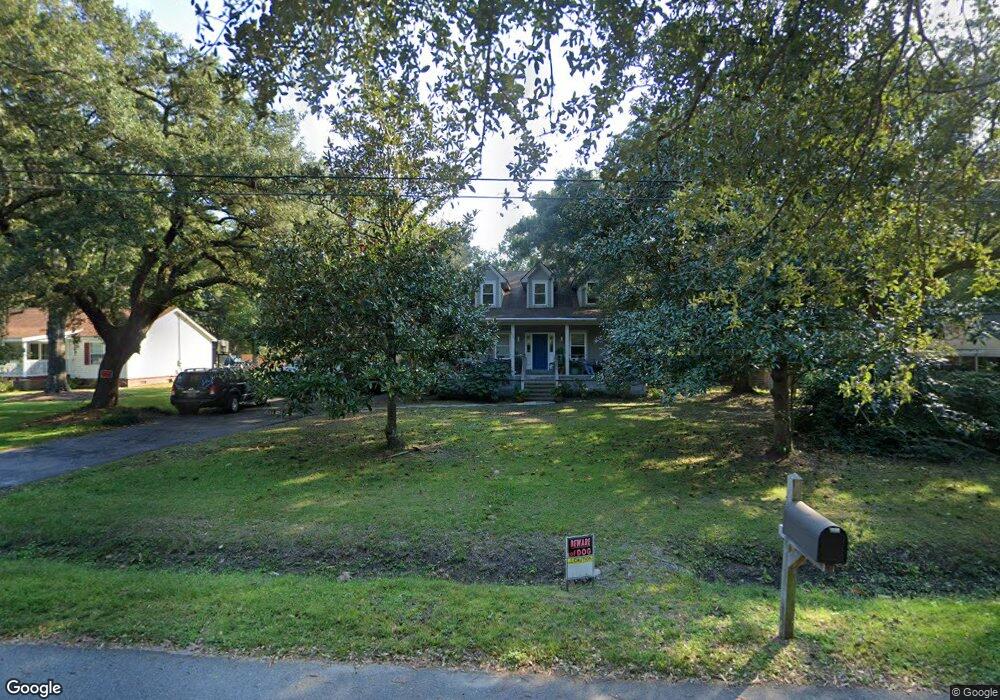
1531 Devons St Charleston, SC 29412
James Island NeighborhoodEstimated Value: $455,000 - $720,726
3
Beds
1
Bath
925
Sq Ft
$625/Sq Ft
Est. Value
About This Home
This home is located at 1531 Devons St, Charleston, SC 29412 and is currently estimated at $578,182, approximately $625 per square foot. 1531 Devons St is a home located in Charleston County with nearby schools including James Island Elementary School, Camp Road Middle, and Septima P Clark Corporate Academy.
Ownership History
Date
Name
Owned For
Owner Type
Purchase Details
Closed on
Dec 13, 2011
Sold by
Frederick Robert and Frederick Stanley
Bought by
Kingdon Matthew
Current Estimated Value
Purchase Details
Closed on
May 18, 2010
Sold by
Frederick Linda and Murphy Michael P
Bought by
Frederick Robert and Frederick Stanley
Purchase Details
Closed on
Apr 27, 2000
Sold by
Murphy Richard T
Bought by
A & P Manufactured Housing Inc
Create a Home Valuation Report for This Property
The Home Valuation Report is an in-depth analysis detailing your home's value as well as a comparison with similar homes in the area
Home Values in the Area
Average Home Value in this Area
Purchase History
| Date | Buyer | Sale Price | Title Company |
|---|---|---|---|
| Kingdon Matthew | $124,250 | -- | |
| Frederick Robert | -- | -- | |
| A & P Manufactured Housing Inc | $29,750 | -- |
Source: Public Records
Tax History
| Year | Tax Paid | Tax Assessment Tax Assessment Total Assessment is a certain percentage of the fair market value that is determined by local assessors to be the total taxable value of land and additions on the property. | Land | Improvement |
|---|---|---|---|---|
| 2024 | $1,884 | $12,940 | $0 | $0 |
| 2023 | $1,571 | $12,940 | $0 | $0 |
| 2022 | $1,426 | $12,940 | $0 | $0 |
| 2021 | $1,526 | $12,940 | $0 | $0 |
| 2020 | $1,543 | $12,940 | $0 | $0 |
| 2019 | $1,410 | $11,260 | $0 | $0 |
| 2017 | $1,498 | $11,260 | $0 | $0 |
| 2016 | $1,436 | $11,260 | $0 | $0 |
| 2015 | $1,491 | $11,260 | $0 | $0 |
| 2014 | $3,460 | $0 | $0 | $0 |
| 2011 | -- | $0 | $0 | $0 |
Source: Public Records
Map
Nearby Homes
- 914 Dill Ave
- 1815 Walsingham Way
- 1814 S Mayflower Dr
- 1039 Yorktown Dr
- 1153 Pauline Ave
- 1156 Pittsford Cir
- 1403 Dove Run Dr Unit B
- 1131 Bellwood Rd
- 1135 Bellwood Rd
- 21 Rivers Point Row Unit 11B
- 1133 Oakcrest Dr
- 1165 Rivercrest Dr
- 0 Turkey Pen Rd Unit 16023532
- 1072 Kentwood Cir
- 1402 Camp Rd Unit 3H
- 1402 Camp Rd Unit 5E
- 1402 Camp Rd Unit 3F
- 1402 Camp Rd Unit 3B
- 1402 Camp Rd Unit 7A
- 1402 Camp Rd Unit 16F
- 1537 Devons St
- 1525 Devons St
- 1521 Devons St
- 1530 Lynton St
- 1534 Lynton St
- 1524 Lynton St
- 1032 Bradford Ave
- 1528 Devons St
- 1532 Devons St
- 1026 Bradford Ave
- 1522 Devons St
- 1538 Devons St
- 1518 Lynton St
- 1044 Bradford Ave
- 1542 Devons St
- 1514 Lynton St
- 1512 Devons St
- 1509 Devons St
- 1527 Chandler St
- 1543 Lynton St
Your Personal Tour Guide
Ask me questions while you tour the home.