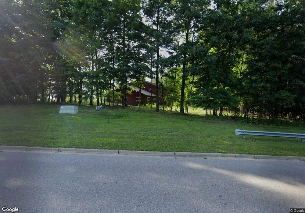
1531 Locust St Fremont, MI 49412
--
Bed
--
Bath
4,080
Sq Ft
2.8
Acres
About This Home
This home is located at 1531 Locust St, Fremont, MI 49412. 1531 Locust St is a home located in Newaygo County with nearby schools including Pathfinder Elementary School, Daisy Brook Elementary School, and Fremont Middle School.
Ownership History
Date
Name
Owned For
Owner Type
Purchase Details
Closed on
Jan 31, 2025
Sold by
Anderson Barry N
Bought by
Anderson Barry N and Anderson Leslie
Purchase Details
Closed on
Aug 6, 2021
Sold by
Osterink Doris J
Bought by
Anderson Barry N and Anderson Leslie A
Purchase Details
Closed on
Feb 10, 2011
Sold by
Osterink Doris J
Bought by
Johnson Denise K and Doris J Osterink Sole Benefit Trust
Purchase Details
Closed on
May 22, 2003
Sold by
Baumgartner Kathleen S
Bought by
Osterink William J Family Trust
Purchase Details
Closed on
Apr 20, 2000
Sold by
City Of Fremont
Bought by
Baumgartner Kathleen S
Create a Home Valuation Report for This Property
The Home Valuation Report is an in-depth analysis detailing your home's value as well as a comparison with similar homes in the area
Home Values in the Area
Average Home Value in this Area
Purchase History
| Date | Buyer | Sale Price | Title Company |
|---|---|---|---|
| Anderson Barry N | $240,000 | -- | |
| Anderson Barry N | $17,500 | -- | |
| Johnson Denise K | -- | -- | |
| Osterink Doris J | -- | -- | |
| Osterink William J Family Trust | $30,000 | -- | |
| Baumgartner Kathleen S | $20,400 | -- |
Source: Public Records
Tax History Compared to Growth
Tax History
| Year | Tax Paid | Tax Assessment Tax Assessment Total Assessment is a certain percentage of the fair market value that is determined by local assessors to be the total taxable value of land and additions on the property. | Land | Improvement |
|---|---|---|---|---|
| 2025 | $10,378 | $165,400 | $0 | $0 |
| 2024 | $87 | $160,100 | $0 | $0 |
| 2023 | $8,269 | $151,800 | $0 | $0 |
| 2022 | $5,551 | $84,400 | $0 | $0 |
| 2021 | $908 | $28,400 | $0 | $0 |
| 2020 | $898 | $13,600 | $0 | $0 |
| 2019 | $882 | $13,600 | $0 | $0 |
| 2018 | $882 | $13,600 | $0 | $0 |
| 2017 | $883 | $13,600 | $0 | $0 |
| 2016 | $842 | $13,600 | $0 | $0 |
| 2015 | -- | $13,600 | $0 | $0 |
| 2014 | -- | $13,600 | $0 | $0 |
Source: Public Records
Map
Nearby Homes
- 4872 Lester Ave
- 1302 Country View Ln
- 1310 Windridge Ln
- 233 Westwood Ave
- 1303 Windridge Ln
- 887 Rex St
- 883 Rex St
- 13 Fremont Ave
- 519 W Oak St
- 313 N Linden Ave
- 5886 S Green Ave
- 385 Pinery Ln
- 387 Pinery Ln
- 501 S Sullivan Ave
- 518 S Sullivan Ave
- 5957 S Landing Ln
- 215 S Division Ave
- 109 E Pine St
- 116 E Sheridan St
- 305 E Pine St
- 616 Industrial Dr
- 18 Locust St
- 6884 W Lake Dr
- 6910 W Lake Dr
- 701 Industrial Dr
- 6820 W Lake Dr
- 0 W Lake Dr
- 12011207 W Lake Dr
- 6840 W Chamberlain Ave
- 1411 W Lake Dr
- 6823 W Chamberlain Ave
- 6884 W Chamberlain Ave
- 6823 W Chamberlain Ave
- 6788 W Lake Dr
- 6850 W Chamberlain Ave
- 1414 Wild Rose Dr
- 6886 W Chamberlain Ave
- 1402 Wild Rose Dr
- 1396 Wild Rose Dr
- 6940 W Lake Dr