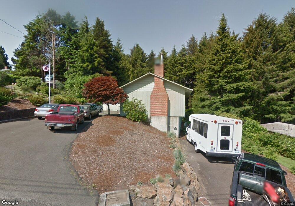
1531 SE Oar Ave Lincoln City, OR 97367
Estimated Value: $532,000 - $797,000
3
Beds
2
Baths
2,621
Sq Ft
$262/Sq Ft
Est. Value
About This Home
This home is located at 1531 SE Oar Ave, Lincoln City, OR 97367 and is currently estimated at $687,367, approximately $262 per square foot. 1531 SE Oar Ave is a home located in Lincoln County with nearby schools including Taft Elementary School, Oceanlake Elementary School, and Taft High School.
Ownership History
Date
Name
Owned For
Owner Type
Purchase Details
Closed on
Jun 13, 2011
Sold by
The State Of Oregon
Bought by
Thurston Street Llc
Current Estimated Value
Home Financials for this Owner
Home Financials are based on the most recent Mortgage that was taken out on this home.
Original Mortgage
$219,100
Interest Rate
4.55%
Mortgage Type
Purchase Money Mortgage
Purchase Details
Closed on
Jan 10, 2011
Sold by
Out West Properties Inc
Bought by
State Of Oregon
Create a Home Valuation Report for This Property
The Home Valuation Report is an in-depth analysis detailing your home's value as well as a comparison with similar homes in the area
Home Values in the Area
Average Home Value in this Area
Purchase History
| Date | Buyer | Sale Price | Title Company |
|---|---|---|---|
| Thurston Street Llc | $313,000 | Premier Title Of Oregon | |
| State Of Oregon | $104,818 | None Available |
Source: Public Records
Mortgage History
| Date | Status | Borrower | Loan Amount |
|---|---|---|---|
| Closed | Thurston Street Llc | $219,100 |
Source: Public Records
Tax History Compared to Growth
Tax History
| Year | Tax Paid | Tax Assessment Tax Assessment Total Assessment is a certain percentage of the fair market value that is determined by local assessors to be the total taxable value of land and additions on the property. | Land | Improvement |
|---|---|---|---|---|
| 2024 | $5,176 | $301,420 | -- | -- |
| 2023 | $5,033 | $292,650 | $0 | $0 |
| 2022 | $4,893 | $284,130 | $0 | $0 |
| 2021 | $4,661 | $275,860 | $0 | $0 |
| 2020 | $4,554 | $267,830 | $0 | $0 |
| 2019 | $4,399 | $260,030 | $0 | $0 |
| 2018 | $4,300 | $252,460 | $0 | $0 |
| 2017 | $4,115 | $245,110 | $0 | $0 |
| 2016 | $3,861 | $237,980 | $0 | $0 |
| 2015 | $3,775 | $231,050 | $0 | $0 |
| 2014 | $3,679 | $224,330 | $0 | $0 |
Source: Public Records
Map
Nearby Homes
- 1800 BLk SE Oar Dr Unit TL 4100
- 1851 SE Oar Dr
- 3400 SE Port Dr
- 0 SE Quay Ave Unit 777055144
- TL 6300 SE Quay Place
- 1496 SE Marine Ave
- T/L 500 SE 14th St
- 1502 SE Marine Ave
- Lot 6 SE Marine Ave
- 6300 SE Quay Place
- 1453 SE Marine Ave
- 1455 SE Marine Ave
- 1219 SE Oar Ave
- 1218 SW 16th St
- 2016 SE 8th St
- 1966 SW Galley Ct
- 720 SE Quay Ave
- 1423 SE 23rd Dr
- 1115 SW Harbor Ave
- 2273 SW Hwy 101
- 1501 SE Oar Ave
- 1623 SE Oar Dr
- 1623 SE Oar Dr
- 1623 SE Oar Dr
- 1540 SE Oar Ave
- 1626 SE Oar Dr
- 1300 Blk SE 15th St
- T/L 200 SE 15th St
- TL1900 SE 15th St
- 000 SE 15th St
- 1639 SE Oar Dr
- 0 Lot Se Port Dr Unit 20586649
- 1649 Oar S Dr E
- 1554 SE Port Dr
- 1899 SE 19th St
- 1636 SE Oar Dr
- 1442 SE Oar Ave
- 1649 SE Oar Dr
- T/L 4500 SE Port Ave
- 1431 SE Oar Ave