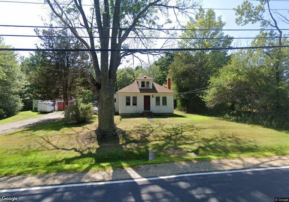
1531 State Rd Eliot, ME 03903
South Eliot NeighborhoodEstimated Value: $368,000 - $603,000
3
Beds
1
Bath
1,008
Sq Ft
$439/Sq Ft
Est. Value
About This Home
This home is located at 1531 State Rd, Eliot, ME 03903 and is currently estimated at $442,534, approximately $439 per square foot. 1531 State Rd is a home located in York County with nearby schools including Marshwood High School and Seacoast Waldorf School.
Create a Home Valuation Report for This Property
The Home Valuation Report is an in-depth analysis detailing your home's value as well as a comparison with similar homes in the area
Home Values in the Area
Average Home Value in this Area
Tax History
| Year | Tax Paid | Tax Assessment Tax Assessment Total Assessment is a certain percentage of the fair market value that is determined by local assessors to be the total taxable value of land and additions on the property. | Land | Improvement |
|---|---|---|---|---|
| 2024 | $3,124 | $263,600 | $147,100 | $116,500 |
| 2023 | $3,076 | $251,100 | $139,800 | $111,300 |
| 2022 | $3,038 | $251,100 | $139,800 | $111,300 |
| 2021 | $2,890 | $214,100 | $106,300 | $107,800 |
| 2020 | $2,912 | $198,100 | $101,300 | $96,800 |
| 2019 | $2,912 | $198,100 | $101,300 | $96,800 |
| 2018 | $2,912 | $198,100 | $101,300 | $96,800 |
| 2017 | $2,833 | $198,100 | $101,300 | $96,800 |
| 2016 | $2,783 | $198,100 | $101,300 | $96,800 |
| 2015 | $2,773 | $198,100 | $101,300 | $96,800 |
| 2014 | $2,734 | $198,100 | $101,300 | $96,800 |
| 2013 | $2,609 | $198,100 | $101,300 | $96,800 |
Source: Public Records
Map
Nearby Homes
- 0 Franks Fort Island Unit 1650383
- 0 Cote Dr Unit 55B
- 21 Clearwater Dr
- 33 Little Bay Dr
- 348 Dover Point Rd
- 13 Little Bay Dr
- 354 Dover Point Rd
- 18 Little Bay Dr
- 28 Little Bay Dr
- Slip B18 Little Bay
- 42 Caslyn Dr
- 71 Shipwright Way
- 220 Dover Point Rd
- 10 Shipwright Way
- 18 Shipping Ln
- 18 Deborah Ln
- 41 Clearwater Dr
- 25 Heritage Dr
- 8 Caslyn Dr
- 61 Beane Ln
Your Personal Tour Guide
Ask me questions while you tour the home.