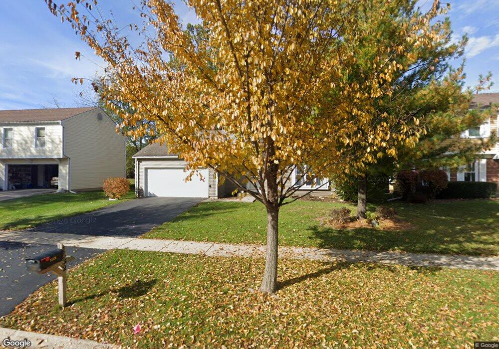
1532 Andover Ave Saint Charles, IL 60174
Southeast Saint Charles NeighborhoodEstimated Value: $414,000 - $456,000
4
Beds
2
Baths
1,865
Sq Ft
$231/Sq Ft
Est. Value
About This Home
This home is located at 1532 Andover Ave, Saint Charles, IL 60174 and is currently estimated at $430,833, approximately $231 per square foot. 1532 Andover Ave is a home located in Kane County with nearby schools including Munhall Elementary School, Wredling Middle School, and St Charles East High School.
Ownership History
Date
Name
Owned For
Owner Type
Purchase Details
Closed on
Sep 25, 1997
Sold by
Salch Clayton R and Salch Kimberly H
Bought by
Graf Mark A and Graf Laura
Current Estimated Value
Home Financials for this Owner
Home Financials are based on the most recent Mortgage that was taken out on this home.
Original Mortgage
$153,400
Outstanding Balance
$24,775
Interest Rate
7.51%
Estimated Equity
$406,058
Create a Home Valuation Report for This Property
The Home Valuation Report is an in-depth analysis detailing your home's value as well as a comparison with similar homes in the area
Home Values in the Area
Average Home Value in this Area
Purchase History
| Date | Buyer | Sale Price | Title Company |
|---|---|---|---|
| Graf Mark A | $107,666 | -- |
Source: Public Records
Mortgage History
| Date | Status | Borrower | Loan Amount |
|---|---|---|---|
| Open | Graf Mark A | $153,400 |
Source: Public Records
Tax History Compared to Growth
Tax History
| Year | Tax Paid | Tax Assessment Tax Assessment Total Assessment is a certain percentage of the fair market value that is determined by local assessors to be the total taxable value of land and additions on the property. | Land | Improvement |
|---|---|---|---|---|
| 2024 | $7,892 | $122,320 | $33,516 | $88,804 |
| 2023 | $7,458 | $111,186 | $29,997 | $81,189 |
| 2022 | $7,310 | $103,532 | $33,203 | $70,329 |
| 2021 | $7,396 | $98,686 | $31,649 | $67,037 |
| 2020 | $7,312 | $96,846 | $31,059 | $65,787 |
| 2019 | $7,175 | $94,928 | $30,444 | $64,484 |
| 2018 | $6,754 | $89,431 | $29,286 | $60,145 |
| 2017 | $6,449 | $84,966 | $28,284 | $56,682 |
| 2016 | $6,941 | $81,982 | $27,291 | $54,691 |
| 2015 | -- | $78,761 | $26,997 | $51,764 |
| 2014 | -- | $76,040 | $26,997 | $49,043 |
| 2013 | -- | $79,188 | $27,267 | $51,921 |
Source: Public Records
Map
Nearby Homes
- 1572 Dempsey Dr
- 822 Liberty Ave
- 1501 Dempsey Dr
- 1359 Madison Ct
- 1533 Banbury Ave
- 1518 Williams Ave Unit 1
- 1527 Williams Ave
- 1718 Jeanette Ave
- 1919 Moore Ave
- 311 Ohio Ave
- 1441 Walnut Hill Ave
- Lot 2 Geneva Rd
- Lot 1 Geneva Rd
- Lot 1 Keller Place
- 885 Geneva Rd
- 1008 Pine St
- 1309 Fox Chase Blvd
- 820 Derby Course
- 839 N Bennett St
- 1919 Waverly Cir
- 1542 Andover Ave
- 1522 Andover Ave
- 1580 Adams Ave
- 1552 Andover Ave
- 1512 Andover Ave
- 1575 Adams Ave
- 905 Independence Ave
- 902 Independence Ave
- 1562 Andover Ave
- 850 Munhall Ave
- 825 Lexington Ave
- 1570 Adams Ave
- 805 Lexington Ave
- 1553 Andover Ave
- 915 Independence Ave
- 1565 Adams Ave
- 912 Independence Ave
- 1572 Andover Ave
- 765 Lexington Ave
- 1563 Andover Ave