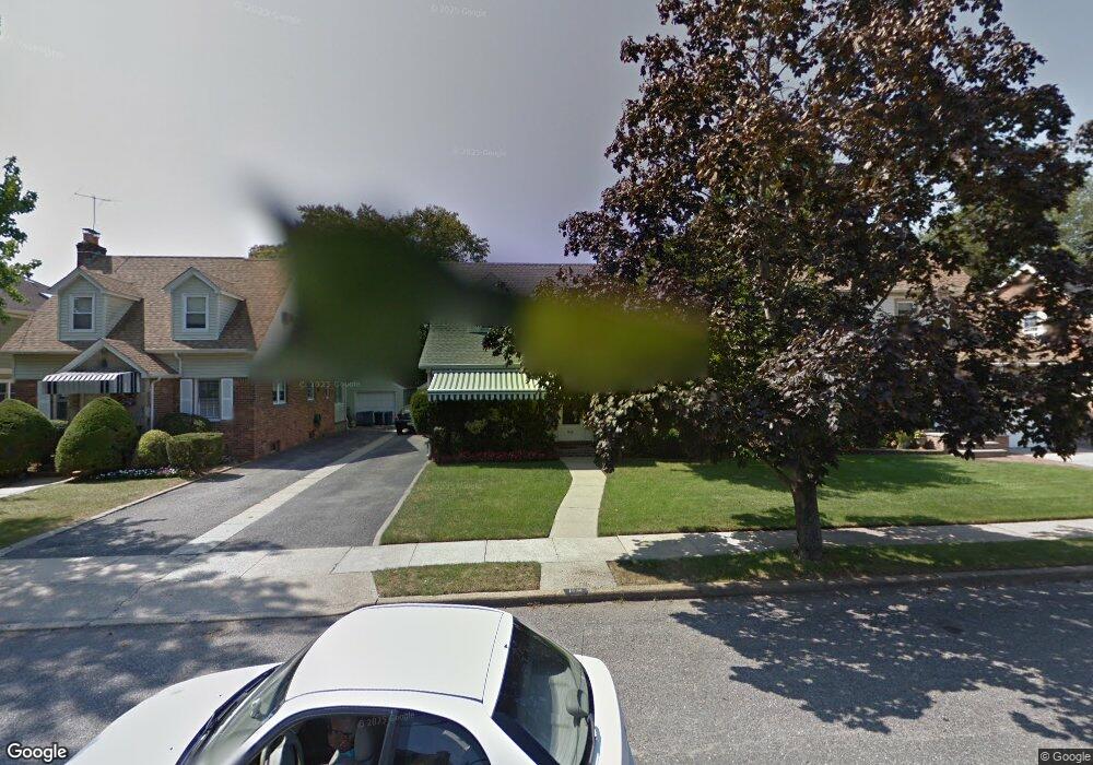
1532 Darling St North Baldwin, NY 11510
Estimated Value: $727,298 - $766,000
--
Bed
2
Baths
1,857
Sq Ft
$402/Sq Ft
Est. Value
About This Home
This home is located at 1532 Darling St, North Baldwin, NY 11510 and is currently estimated at $746,649, approximately $402 per square foot. 1532 Darling St is a home located in Nassau County with nearby schools including Baldwin Senior High School.
Ownership History
Date
Name
Owned For
Owner Type
Purchase Details
Closed on
Jul 26, 2023
Sold by
Roselle Diane and Beatrice H Combes Revocable Living Trust
Bought by
Moulton Nakeda L
Current Estimated Value
Home Financials for this Owner
Home Financials are based on the most recent Mortgage that was taken out on this home.
Original Mortgage
$549,450
Outstanding Balance
$535,850
Interest Rate
6.81%
Mortgage Type
FHA
Estimated Equity
$210,799
Purchase Details
Closed on
Jul 24, 2006
Sold by
Combes Beatrice
Create a Home Valuation Report for This Property
The Home Valuation Report is an in-depth analysis detailing your home's value as well as a comparison with similar homes in the area
Home Values in the Area
Average Home Value in this Area
Purchase History
| Date | Buyer | Sale Price | Title Company |
|---|---|---|---|
| Moulton Nakeda L | $600,000 | Chicago Title Insurance Co | |
| Moulton Nakeda L | $600,000 | Chicago Title Insurance Co | |
| Moulton Nakeda L | $600,000 | Chicago Title Insurance Co | |
| -- | -- | -- | |
| -- | -- | -- |
Source: Public Records
Mortgage History
| Date | Status | Borrower | Loan Amount |
|---|---|---|---|
| Open | Moulton Nakeda L | $549,450 | |
| Closed | Moulton Nakeda L | $549,450 |
Source: Public Records
Tax History Compared to Growth
Tax History
| Year | Tax Paid | Tax Assessment Tax Assessment Total Assessment is a certain percentage of the fair market value that is determined by local assessors to be the total taxable value of land and additions on the property. | Land | Improvement |
|---|---|---|---|---|
| 2025 | $14,633 | $471 | $140 | $331 |
| 2024 | $3,690 | $471 | $140 | $331 |
| 2023 | $11,192 | $471 | $140 | $331 |
| 2022 | $11,192 | $471 | $140 | $331 |
| 2021 | $15,704 | $457 | $136 | $321 |
| 2020 | $12,645 | $826 | $502 | $324 |
| 2019 | $4,083 | $826 | $502 | $324 |
| 2018 | $3,753 | $826 | $0 | $0 |
| 2017 | $6,715 | $826 | $502 | $324 |
| 2016 | $10,696 | $826 | $502 | $324 |
| 2015 | $3,580 | $826 | $502 | $324 |
| 2014 | $3,580 | $826 | $502 | $324 |
| 2013 | $3,340 | $826 | $502 | $324 |
Source: Public Records
Map
Nearby Homes
- 1535 Mattison St
- 840 Kings Pkwy
- 723 William St
- 4 Robert Place
- 1600 Grand Ave Unit V1
- 1449 Grand Ave
- 700 W Carl Ave
- 1476 Kingston Ave
- 685 John St
- 915 Wallace Ave
- 712 Demott Ave
- 1420 Grand Ave
- 1459 Prince St
- 1690 Grand Ave Unit A16
- 1690 Grand Ave Unit B14
- 1426 Forest Ave
- 1515 Paul St
- 1477 Wales Ave
- 819 Edward St
- 7 Mayfair Rd
- 1532 Darling St
- 1532 Darling St
- 1538 Darling St
- 811 Barth Dr
- 823 Barth Dr
- 1528 Darling St
- 1528 Darling St
- 805 Barth Dr
- 1524 Darling St
- 1524 Darling St
- 1515 Woodside Ave
- 1511 Woodside Ave
- 799 Barth Dr
- 1501 Woodside Ave
- 1531 Darling St
- 824 Barth Dr
- 1515 Darling St
- 1537 Darling St
- 820 Barth Dr
- 1525 Woodside Ave