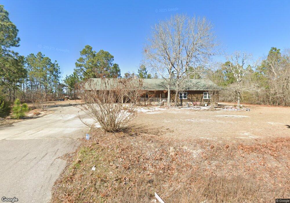
1532 Jim Spence Rd Lexington, SC 29073
Estimated Value: $168,000 - $250,431
3
Beds
2
Baths
1,746
Sq Ft
$118/Sq Ft
Est. Value
About This Home
This home is located at 1532 Jim Spence Rd, Lexington, SC 29073 and is currently estimated at $205,608, approximately $117 per square foot. 1532 Jim Spence Rd is a home located in Lexington County with nearby schools including Forts Pond Elementary School, Pelion Middle School, and Pelion High School.
Ownership History
Date
Name
Owned For
Owner Type
Purchase Details
Closed on
Apr 5, 2022
Sold by
Erwin Jeffrey S
Bought by
Erwin Jeffrey Stewart and Erwin Denise Feltman
Current Estimated Value
Purchase Details
Closed on
May 23, 2006
Sold by
Erwin Jeffrey S and Erwin Linda F
Bought by
Erwin Jeffrey S
Home Financials for this Owner
Home Financials are based on the most recent Mortgage that was taken out on this home.
Original Mortgage
$126,750
Interest Rate
9.4%
Mortgage Type
Adjustable Rate Mortgage/ARM
Create a Home Valuation Report for This Property
The Home Valuation Report is an in-depth analysis detailing your home's value as well as a comparison with similar homes in the area
Home Values in the Area
Average Home Value in this Area
Purchase History
| Date | Buyer | Sale Price | Title Company |
|---|---|---|---|
| Erwin Jeffrey Stewart | -- | None Listed On Document | |
| Erwin Jeffrey S | -- | Us Title Corp |
Source: Public Records
Mortgage History
| Date | Status | Borrower | Loan Amount |
|---|---|---|---|
| Previous Owner | Erwin Jeffrey S | $126,750 |
Source: Public Records
Tax History Compared to Growth
Tax History
| Year | Tax Paid | Tax Assessment Tax Assessment Total Assessment is a certain percentage of the fair market value that is determined by local assessors to be the total taxable value of land and additions on the property. | Land | Improvement |
|---|---|---|---|---|
| 2024 | $431 | $5,719 | $708 | $5,011 |
| 2023 | $431 | $5,719 | $708 | $5,011 |
| 2022 | $852 | $5,719 | $708 | $5,011 |
| 2020 | $874 | $5,719 | $708 | $5,011 |
| 2019 | $891 | $5,729 | $708 | $5,021 |
| 2018 | $874 | $5,729 | $708 | $5,021 |
| 2017 | $848 | $5,729 | $708 | $5,021 |
| 2016 | $840 | $5,729 | $708 | $5,021 |
| 2014 | $821 | $5,845 | $709 | $5,136 |
| 2013 | -- | $5,850 | $710 | $5,140 |
Source: Public Records
Map
Nearby Homes
- 252 Doe Trail Dr
- 141 Dew Blossom Dr
- 137 Dew Blossom Dr
- 133 Dew Blossom Dr
- 125 Dew Blossom Dr
- 121 Dew Blossom Dr
- 117 Dew Blossom Dr
- 113 Dew Blossom Dr
- 109 Dew Blossom Dr
- Bailey II Plan at Peachtree Hills
- Harper II Plan at Peachtree Hills
- Bentcreek II Plan at Peachtree Hills
- Julie II Plan at Peachtree Hills
- 187 Federation St
- 112 Federation St
- 158 Macedon Dr
- 190 Federation St
- 117 Macedon Dr
- 3918 Highway 6
- 1054 Meadowfield Rd
- 131 Addie Lucas Rd
- 1526 Jim Spence Rd
- 141 Addie Lucas Rd
- 1520 Jim Spence Rd
- 144 Addie Lucas Rd
- 121 Addie Lucas Rd
- 1518 Jim Spence Rd
- 126 Addie Lucas Rd
- 136 Addie Lucas Rd
- 140 Addie Lucas Rd
- 132 Addie Lucas Rd
- 1602 Jim Spence Rd
- 1904 Jim Spence Rd
- 1934 Jim Spence Rd
- 1916 Jim Spence Rd
- 1910 Jim Spence Rd
- 1922 Jim Spence Rd
- 1928 Jim Spence Rd
- 1940 Jim Spence Rd
- 1946 Jim Spence Rd