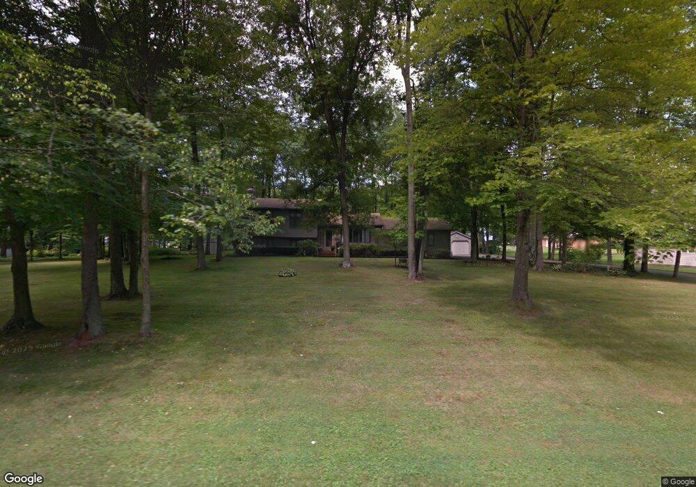
1532 Maple Dr Hubbard, OH 44425
Estimated Value: $244,000 - $251,000
3
Beds
2
Baths
1,820
Sq Ft
$136/Sq Ft
Est. Value
About This Home
This home is located at 1532 Maple Dr, Hubbard, OH 44425 and is currently estimated at $248,035, approximately $136 per square foot. 1532 Maple Dr is a home located in Trumbull County with nearby schools including Hubbard Elementary School, Hubbard Middle School, and Hubbard High School.
Ownership History
Date
Name
Owned For
Owner Type
Purchase Details
Closed on
Aug 15, 1994
Sold by
Husted Thomas F
Bought by
Gleydura Thomas M
Current Estimated Value
Home Financials for this Owner
Home Financials are based on the most recent Mortgage that was taken out on this home.
Original Mortgage
$75,800
Interest Rate
8.62%
Mortgage Type
New Conventional
Purchase Details
Closed on
Jan 1, 1990
Bought by
Thomas F Husted
Create a Home Valuation Report for This Property
The Home Valuation Report is an in-depth analysis detailing your home's value as well as a comparison with similar homes in the area
Home Values in the Area
Average Home Value in this Area
Purchase History
| Date | Buyer | Sale Price | Title Company |
|---|---|---|---|
| Gleydura Thomas M | $128,500 | -- | |
| Thomas F Husted | -- | -- |
Source: Public Records
Mortgage History
| Date | Status | Borrower | Loan Amount |
|---|---|---|---|
| Closed | Gleydura Thomas M | $75,800 |
Source: Public Records
Tax History
| Year | Tax Paid | Tax Assessment Tax Assessment Total Assessment is a certain percentage of the fair market value that is determined by local assessors to be the total taxable value of land and additions on the property. | Land | Improvement |
|---|---|---|---|---|
| 2024 | $3,267 | $67,410 | $9,730 | $57,680 |
| 2023 | $3,267 | $67,410 | $9,730 | $57,680 |
| 2022 | $2,964 | $55,340 | $9,140 | $46,200 |
| 2021 | $2,977 | $55,340 | $9,140 | $46,200 |
| 2020 | $2,988 | $55,340 | $9,140 | $46,200 |
| 2019 | $2,701 | $48,650 | $8,470 | $40,180 |
| 2018 | $2,621 | $48,650 | $8,470 | $40,180 |
| 2017 | $2,613 | $48,650 | $8,470 | $40,180 |
| 2016 | $2,521 | $49,140 | $8,470 | $40,670 |
| 2015 | $2,530 | $49,140 | $8,470 | $40,670 |
| 2014 | $2,481 | $49,140 | $8,470 | $40,670 |
| 2013 | $2,477 | $49,140 | $8,470 | $40,670 |
Source: Public Records
Map
Nearby Homes
- 5910 Chestnut Ridge Rd
- 1441 Warner Rd
- 5950 Mount Everett Rd
- 7058 Pine Grove Dr
- 240 Warner Rd
- 5516 Benton Ln
- 0 Smith Stewart Rd Unit 5120727
- 0 Appaloosa Ln
- 2675 Seifert-Lewis Rd
- 550 Warner Rd
- 6333 Warren Sharon Rd
- 132 Drummond Ave
- 60 Warner Rd
- 6984 Warren Sharon Rd
- 4810 Logan Way
- 7304 Oakwood Dr Unit 9
- 7086 Warren Sharon Rd
- 7647 Connelly Rd
- 327 W Park Ave
- 1952 Hubbard Masury Rd
- 1533 Lake Dr
- 1546 Maple Dr
- 6116 Everett East Rd
- 1531 Maple Dr
- 1541 Lake Dr
- 6100 Everett East Rd
- 6140 Everett East Rd
- 1551 Maple Dr
- 1576 Maple Dr
- 1575 Lake Dr
- 1534 Lake Dr
- 1571 Maple Dr
- 1550 Lake Dr
- 6080 Everett East Rd
- 1574 Lake Dr
- 6143 Everett East Rd
- 1524 Greensleave Cir
- 1595 Lake Dr
- 1516 Greensleaves Cir W
- 1564 Greensleave Cir
Your Personal Tour Guide
Ask me questions while you tour the home.