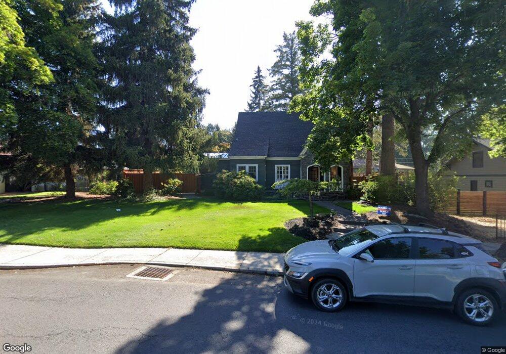
1532 NW Harmon Blvd Bend, OR 97701
River West NeighborhoodEstimated Value: $1,230,360 - $1,644,000
3
Beds
2
Baths
2,160
Sq Ft
$638/Sq Ft
Est. Value
About This Home
This home is located at 1532 NW Harmon Blvd, Bend, OR 97701 and is currently estimated at $1,378,340, approximately $638 per square foot. 1532 NW Harmon Blvd is a home located in Deschutes County with nearby schools including High Lakes Elementary School, Pacific Crest Middle School, and Summit High School.
Ownership History
Date
Name
Owned For
Owner Type
Purchase Details
Closed on
Nov 19, 2014
Sold by
Busacker Brian A and Busacker Margaret M
Bought by
Smuland John M and Smuland Karen J
Current Estimated Value
Home Financials for this Owner
Home Financials are based on the most recent Mortgage that was taken out on this home.
Original Mortgage
$520,000
Outstanding Balance
$398,656
Interest Rate
4.1%
Mortgage Type
New Conventional
Estimated Equity
$979,685
Create a Home Valuation Report for This Property
The Home Valuation Report is an in-depth analysis detailing your home's value as well as a comparison with similar homes in the area
Home Values in the Area
Average Home Value in this Area
Purchase History
| Date | Buyer | Sale Price | Title Company |
|---|---|---|---|
| Smuland John M | $650,000 | First American Title |
Source: Public Records
Mortgage History
| Date | Status | Borrower | Loan Amount |
|---|---|---|---|
| Open | Smuland John M | $520,000 |
Source: Public Records
Tax History Compared to Growth
Tax History
| Year | Tax Paid | Tax Assessment Tax Assessment Total Assessment is a certain percentage of the fair market value that is determined by local assessors to be the total taxable value of land and additions on the property. | Land | Improvement |
|---|---|---|---|---|
| 2025 | $7,008 | $414,760 | -- | -- |
| 2024 | $6,742 | $402,680 | -- | -- |
| 2023 | $6,250 | $390,960 | $0 | $0 |
| 2022 | $6,012 | $368,530 | $0 | $0 |
| 2021 | $5,840 | $357,800 | $0 | $0 |
| 2020 | $5,541 | $357,800 | $0 | $0 |
| 2019 | $5,386 | $347,380 | $0 | $0 |
| 2018 | $4,949 | $318,880 | $0 | $0 |
| 2017 | $4,804 | $309,600 | $0 | $0 |
| 2016 | $4,401 | $288,750 | $0 | $0 |
| 2015 | $4,279 | $280,340 | $0 | $0 |
| 2014 | $4,153 | $272,180 | $0 | $0 |
Source: Public Records
Map
Nearby Homes
- 539 NW Ogden Ave
- 420 NW Drake Rd
- 3118 NW Crossing Dr
- 3122 NW Crossing Dr
- 545 NW Portland Ave
- 1439 NW 4th St
- 644 NW Portland Ave
- 628 NW Portland Ave
- 636 NW Portland Ave
- 1650 NW 5th St
- 898 NW Riverside Blvd
- 536 NW Saginaw Ave
- 1576 NW Awbrey Rd
- 607 NW Trenton Ave
- 1603 NW 2nd St
- 0 Fazio Ln Unit Lot 273 220187171
- 2 NW Hood Place
- 254 NW Congress St
- 3369 NW Zayden Ct
- 1714 NW Steidl Rd
- 605 NW Newport Ave
- 1315 NW 6th St
- 1520 NW Harmon Blvd
- 593 NW Newport Ave
- 1324 NW 6th St
- 1506 NW Harmon Blvd
- 516 NW Drake Rd
- 1452 NW Harmon Blvd
- 600 NW Newport Ave
- 611 NW Drake Rd
- 541 NW Newport Ave
- 610 NW Newport Ave
- 620 NW Newport Ave
- 637 NW Drake Rd
- 626 NW Newport Ave
- 636 NW Newport Ave
- 434 NW Drake Rd
- 640 NW Newport Ave
- 1436 NW Harmon Blvd
- 647 NW Drake Rd