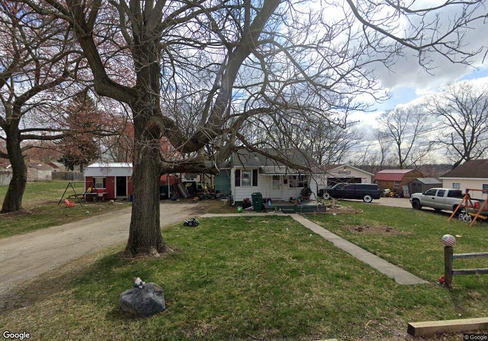
1532 Parker St Springfield, OH 45503
Estimated Value: $87,000 - $125,000
2
Beds
1
Bath
700
Sq Ft
$154/Sq Ft
Est. Value
About This Home
This home is located at 1532 Parker St, Springfield, OH 45503 and is currently estimated at $107,552, approximately $153 per square foot. 1532 Parker St is a home located in Clark County with nearby schools including Kenton Elementary School, Schaefer Middle School, and Springfield High School.
Ownership History
Date
Name
Owned For
Owner Type
Purchase Details
Closed on
Apr 20, 2006
Sold by
Taylor Max D
Bought by
Taylor Roger A and Taylor Mary E
Current Estimated Value
Home Financials for this Owner
Home Financials are based on the most recent Mortgage that was taken out on this home.
Original Mortgage
$30,000
Interest Rate
6.66%
Mortgage Type
Purchase Money Mortgage
Purchase Details
Closed on
Oct 29, 2001
Sold by
Julia Taylor
Bought by
Taylor Max D
Purchase Details
Closed on
Sep 3, 1998
Sold by
Taylor Max D
Bought by
Taylor Julia
Create a Home Valuation Report for This Property
The Home Valuation Report is an in-depth analysis detailing your home's value as well as a comparison with similar homes in the area
Home Values in the Area
Average Home Value in this Area
Purchase History
| Date | Buyer | Sale Price | Title Company |
|---|---|---|---|
| Taylor Roger A | $48,500 | None Available | |
| Taylor Max D | -- | -- | |
| Taylor Julia | -- | -- |
Source: Public Records
Mortgage History
| Date | Status | Borrower | Loan Amount |
|---|---|---|---|
| Previous Owner | Taylor Roger A | $30,000 |
Source: Public Records
Tax History Compared to Growth
Tax History
| Year | Tax Paid | Tax Assessment Tax Assessment Total Assessment is a certain percentage of the fair market value that is determined by local assessors to be the total taxable value of land and additions on the property. | Land | Improvement |
|---|---|---|---|---|
| 2024 | $716 | $14,070 | $4,200 | $9,870 |
| 2023 | $716 | $14,830 | $4,200 | $10,630 |
| 2022 | $733 | $14,830 | $4,200 | $10,630 |
| 2021 | $579 | $10,820 | $3,230 | $7,590 |
| 2020 | $580 | $10,820 | $3,230 | $7,590 |
| 2019 | $581 | $10,820 | $3,230 | $7,590 |
| 2018 | $580 | $10,370 | $3,400 | $6,970 |
| 2017 | $580 | $10,367 | $3,395 | $6,972 |
| 2016 | $597 | $10,367 | $3,395 | $6,972 |
| 2015 | $288 | $9,811 | $3,234 | $6,577 |
| 2014 | $573 | $9,811 | $3,234 | $6,577 |
| 2013 | $284 | $9,811 | $3,234 | $6,577 |
Source: Public Records
Map
Nearby Homes
- 2691 Tecumseh Ave
- 2603 Roberts Ave
- 2655 Merritt St
- 2419 Gladden St
- 2224-2226 Columbus Ave
- 2226 Columbus Ave
- 2210 Larch St
- 1827 N Belmont Ave
- 26-28 N Belmont Ave
- The Siebert Plan at Magnolia Acres
- 2149 Larch St
- 2124 Tavenner Ave
- 1710 Mitchell Blvd
- 2201 Woodside Ave
- 2340 E Home Rd
- 2020 Woodside Ave
- 1782 Edwards Ave
- 1639 E Mile Rd
- 700 James St
- 2256 Hillside Ave
- 1516 Parker St
- 2601 Tecumseh Ave
- 2689 Tecumseh Ave
- 1527 Parker St
- 1529 Parker St
- 2695 Tecumseh Ave
- 2587 Tecumseh Ave
- 2697 Tecumseh Ave
- 2579 Tecumseh Ave
- 2699 Tecumseh Ave
- 2577 Tecumseh Ave
- 1526 Edgewood Ave
- 1520 Edgewood Ave
- 2701 Tecumseh Ave
- 2573 Tecumseh Ave Unit 2575
- 1530 Edgewood Ave
- 1516 Edgewood Ave
- 1512 Edgewood Ave
- 2557 Tecumseh Ave
- 1508 Edgewood Ave