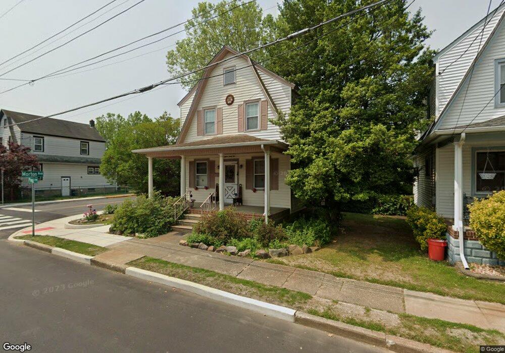
1532 Paul Ave Paulsboro, NJ 08066
Estimated Value: $158,466 - $262,000
--
Bed
--
Bath
1,232
Sq Ft
$170/Sq Ft
Est. Value
About This Home
This home is located at 1532 Paul Ave, Paulsboro, NJ 08066 and is currently estimated at $208,867, approximately $169 per square foot. 1532 Paul Ave is a home located in Gloucester County with nearby schools including Billingsport Elementary School, Loudenslager Elementary School, and Paulsboro High School.
Create a Home Valuation Report for This Property
The Home Valuation Report is an in-depth analysis detailing your home's value as well as a comparison with similar homes in the area
Home Values in the Area
Average Home Value in this Area
Tax History Compared to Growth
Tax History
| Year | Tax Paid | Tax Assessment Tax Assessment Total Assessment is a certain percentage of the fair market value that is determined by local assessors to be the total taxable value of land and additions on the property. | Land | Improvement |
|---|---|---|---|---|
| 2025 | $4,114 | $93,500 | $16,800 | $76,700 |
| 2024 | $4,110 | $93,500 | $16,800 | $76,700 |
| 2023 | $4,110 | $93,500 | $16,800 | $76,700 |
| 2022 | $4,035 | $93,500 | $16,800 | $76,700 |
| 2021 | $3,667 | $93,500 | $16,800 | $76,700 |
| 2020 | $3,933 | $93,500 | $16,800 | $76,700 |
| 2019 | $3,809 | $93,500 | $16,800 | $76,700 |
| 2018 | $3,591 | $93,500 | $16,800 | $76,700 |
| 2017 | $3,576 | $93,500 | $16,800 | $76,700 |
| 2016 | $3,407 | $93,500 | $16,800 | $76,700 |
| 2015 | $3,388 | $93,500 | $16,800 | $76,700 |
| 2014 | $3,264 | $96,900 | $19,500 | $77,400 |
Source: Public Records
Map
Nearby Homes
- 1534 Pine St
- 1519 Pine St
- 255 Elizabeth Ave
- 269 W Broad St
- 1214 Walter Ave
- L18 20 W Broad St
- 131 Jessup St
- 227 W Buck St
- 1224 Heddon Ave
- 122 W Washington St
- 129 W Washington St
- 335 W Buck St
- 344 W Washington St
- 219 Vanneman Blvd
- 8 S Delaware St
- 11 W Washington St
- 1043 Penn Line Rd
- 21 W Adams St
- 28 W Jefferson St
- 140 142 W Jefferson St