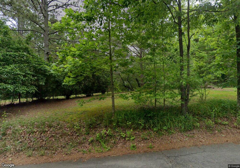
1532 Sperin Rd Ball Ground, GA 30107
Estimated Value: $545,261 - $718,000
3
Beds
2
Baths
2,728
Sq Ft
$239/Sq Ft
Est. Value
About This Home
This home is located at 1532 Sperin Rd, Ball Ground, GA 30107 and is currently estimated at $652,754, approximately $239 per square foot. 1532 Sperin Rd is a home located in Cherokee County with nearby schools including Ball Ground Elementary School, Creekland Middle School, and Creekview High School.
Ownership History
Date
Name
Owned For
Owner Type
Purchase Details
Closed on
Oct 8, 2003
Sold by
Collins Nancy C
Bought by
Dawn Martha L
Current Estimated Value
Home Financials for this Owner
Home Financials are based on the most recent Mortgage that was taken out on this home.
Original Mortgage
$156,966
Interest Rate
6.16%
Mortgage Type
Stand Alone Second
Purchase Details
Closed on
Sep 13, 1999
Sold by
Collins Nancy C
Bought by
Collins Nancy C
Home Financials for this Owner
Home Financials are based on the most recent Mortgage that was taken out on this home.
Original Mortgage
$131,250
Interest Rate
7.91%
Mortgage Type
New Conventional
Create a Home Valuation Report for This Property
The Home Valuation Report is an in-depth analysis detailing your home's value as well as a comparison with similar homes in the area
Home Values in the Area
Average Home Value in this Area
Purchase History
| Date | Buyer | Sale Price | Title Company |
|---|---|---|---|
| Dawn Martha L | $25,000 | -- | |
| Collins Nancy C | -- | -- |
Source: Public Records
Mortgage History
| Date | Status | Borrower | Loan Amount |
|---|---|---|---|
| Previous Owner | Dawn Martha L | $156,966 | |
| Previous Owner | Dawn Martha L | $164,000 | |
| Previous Owner | Collins Nancy C | $131,250 |
Source: Public Records
Tax History Compared to Growth
Tax History
| Year | Tax Paid | Tax Assessment Tax Assessment Total Assessment is a certain percentage of the fair market value that is determined by local assessors to be the total taxable value of land and additions on the property. | Land | Improvement |
|---|---|---|---|---|
| 2024 | $762 | $142,952 | $46,200 | $96,752 |
| 2023 | $750 | $127,732 | $46,200 | $81,532 |
| 2022 | $678 | $106,312 | $46,200 | $60,112 |
| 2021 | $662 | $86,932 | $38,520 | $48,412 |
| 2020 | $667 | $87,712 | $38,520 | $49,192 |
| 2019 | $642 | $81,000 | $38,520 | $42,480 |
| 2018 | $643 | $78,960 | $38,520 | $40,440 |
| 2017 | $662 | $199,000 | $38,520 | $41,080 |
| 2016 | $651 | $181,600 | $34,640 | $38,000 |
| 2015 | $674 | $182,900 | $34,640 | $38,520 |
| 2014 | $558 | $146,500 | $34,640 | $23,960 |
Source: Public Records
Map
Nearby Homes
- 0 Sperin Rd Unit 7653770
- 0 Sperin Rd Unit 10610489
- 1632 Sperin Rd
- 170 Sperin Cabinet Rd
- 170 Sperin Cabinet Rd
- 150 Sperin Cabinet Rd
- 659 Oxford Rd
- 884 Oxford Rd
- 3547 Reavis Mountain Rd
- 0 Lawson Federal Rd Unit 10562565
- 0 Lawson Federal Rd Unit 7613406
- 0 Lawson Federal Rd Unit 10555202
- 0 Lawson Federal Rd Unit 7592547
- 0 Byers Dr Unit 10562599
- 0 Byers Dr Unit 7613418
- 0 Reavis Rd
- 4573 Fortner Rd
- 2701 Conns Creek Rd
- 2701 Conns Creek Rd Unit 5
- 116 Chivalry Ln
- 1350 Sperin Rd
- 1525 Sperin Rd
- 0 Sperin Rd Unit 3118098
- 0 Sperin Rd Unit 4268187
- 0 Sperin Rd Unit 5147851
- 0 Sperin Rd Unit 5174727
- 0 Sperin Rd Unit 7583037
- 0 Sperin Rd Unit 10329815
- 0 Sperin Rd Unit 7413252
- 0 Sperin Rd Unit 10240528
- 0 Sperin Rd Unit 7322567
- 0 Sperin Rd Unit 9054901
- 0 Sperin Rd Unit 8981504
- 0 Sperin Rd Unit 8820492
- 0 Sperin Rd Unit 8945756
- 0 Sperin Rd Unit 8779138
- 0 Sperin Rd Unit 8779136
- 0 Sperin Rd Unit 6717030
- 0 Sperin Rd Unit 8741477
- 0 Sperin Rd Unit 8741467
