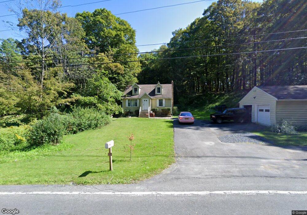
1532 State Route 213 Ulster Park, NY 12487
Estimated Value: $319,000 - $350,000
4
Beds
2
Baths
1,152
Sq Ft
$293/Sq Ft
Est. Value
About This Home
This home is located at 1532 State Route 213, Ulster Park, NY 12487 and is currently estimated at $337,268, approximately $292 per square foot. 1532 State Route 213 is a home with nearby schools including Kingston High School.
Ownership History
Date
Name
Owned For
Owner Type
Purchase Details
Closed on
Jul 2, 2021
Sold by
Stpierre Paul
Bought by
Roosa Kurt W
Current Estimated Value
Home Financials for this Owner
Home Financials are based on the most recent Mortgage that was taken out on this home.
Original Mortgage
$230,743
Outstanding Balance
$209,363
Interest Rate
2.9%
Mortgage Type
FHA
Estimated Equity
$127,905
Purchase Details
Closed on
May 28, 2011
Sold by
Frohman Dara S
Bought by
St Pierre Paul
Purchase Details
Closed on
Oct 31, 2003
Sold by
Bennett Jeffrey N
Bought by
Frohman Dara S
Create a Home Valuation Report for This Property
The Home Valuation Report is an in-depth analysis detailing your home's value as well as a comparison with similar homes in the area
Home Values in the Area
Average Home Value in this Area
Purchase History
| Date | Buyer | Sale Price | Title Company |
|---|---|---|---|
| Roosa Kurt W | $235,000 | None Available | |
| St Pierre Paul | $150,000 | None Available | |
| Frohman Dara S | $137,000 | Stephanie Whidden |
Source: Public Records
Mortgage History
| Date | Status | Borrower | Loan Amount |
|---|---|---|---|
| Open | Roosa Kurt W | $230,743 |
Source: Public Records
Tax History Compared to Growth
Tax History
| Year | Tax Paid | Tax Assessment Tax Assessment Total Assessment is a certain percentage of the fair market value that is determined by local assessors to be the total taxable value of land and additions on the property. | Land | Improvement |
|---|---|---|---|---|
| 2024 | $6,310 | $157,625 | $34,944 | $122,681 |
| 2023 | $6,256 | $157,625 | $34,944 | $122,681 |
| 2022 | $6,056 | $157,625 | $34,944 | $122,681 |
| 2021 | $6,056 | $157,625 | $34,944 | $122,681 |
| 2020 | $4,998 | $157,625 | $34,944 | $122,681 |
| 2019 | $4,892 | $157,625 | $34,944 | $122,681 |
| 2018 | $5,006 | $157,625 | $34,944 | $122,681 |
| 2017 | $5,007 | $157,625 | $34,944 | $122,681 |
| 2016 | $4,927 | $157,625 | $34,944 | $122,681 |
| 2015 | -- | $157,625 | $34,944 | $122,681 |
| 2014 | -- | $157,625 | $34,944 | $122,681 |
Source: Public Records
Map
Nearby Homes
- 1015 Creek Locks Rd
- 8 School House Ln
- 1634 Route 213
- 51 Main St
- 00 Carney Rd
- 103 Carney Rd
- 42 Beyersdorfer St
- 25 Birmingham Ln
- 610 Oakwood Dr
- 472 Lefever Falls Rd
- 2755 New York 32
- 1765 New York 213
- 484 Dewitt Mills Rd
- 14 Orchard Hill Rd
- 14 Orchard Hills Rd
- 1792 State Route 213
- 153 New Salem Rd
- 1883 Route 213
- 1250 County Route 351
- 23 Maple St
- 1526 State Route 213
- 1520 State Route 213
- 1517 State Route 213
- 1516 State Route 213
- 1516 State Route 213
- 1516 New York 213
- 1541 State Route 213
- 1514 State Route 213
- 17 Van Wagner Rd
- 31 William White Rd
- 1554 State Route 213
- 1552 New York 213
- 1552 State Route 213
- 1552 State Route 213
- 1556 State Route 213
- 33 William White Rd
- 1547 State Route 213
- 1634 New York 213
- 1558 State Route 213
- 25 William White Rd