1532 W 110 N Pleasant Grove, UT 84062
Estimated Value: $341,000 - $412,000
3
Beds
2
Baths
1,143
Sq Ft
$320/Sq Ft
Est. Value
About This Home
This home is located at 1532 W 110 N, Pleasant Grove, UT 84062 and is currently estimated at $366,243, approximately $320 per square foot. 1532 W 110 N is a home located in Utah County with nearby schools including Mount Mahogany School, Pleasant Grove Junior High School, and Pleasant Grove High School.
Ownership History
Date
Name
Owned For
Owner Type
Purchase Details
Closed on
Aug 18, 2021
Sold by
Salty Grove Investments
Bought by
Lowman Kathryn M and Lowman Breen D
Current Estimated Value
Home Financials for this Owner
Home Financials are based on the most recent Mortgage that was taken out on this home.
Original Mortgage
$324,900
Outstanding Balance
$295,435
Interest Rate
2.9%
Mortgage Type
New Conventional
Estimated Equity
$70,808
Purchase Details
Closed on
Aug 16, 2021
Sold by
Salty Grove Investments
Bought by
Lowman Kathryn M and Lowman Breen D
Home Financials for this Owner
Home Financials are based on the most recent Mortgage that was taken out on this home.
Original Mortgage
$324,900
Outstanding Balance
$295,435
Interest Rate
2.9%
Mortgage Type
New Conventional
Estimated Equity
$70,808
Purchase Details
Closed on
Jun 23, 2021
Sold by
West Shannon
Bought by
Salty Grove Investments
Home Financials for this Owner
Home Financials are based on the most recent Mortgage that was taken out on this home.
Original Mortgage
$324,900
Outstanding Balance
$295,435
Interest Rate
2.9%
Mortgage Type
New Conventional
Estimated Equity
$70,808
Create a Home Valuation Report for This Property
The Home Valuation Report is an in-depth analysis detailing your home's value as well as a comparison with similar homes in the area
Home Values in the Area
Average Home Value in this Area
Purchase History
| Date | Buyer | Sale Price | Title Company |
|---|---|---|---|
| Lowman Kathryn M | -- | Land Title | |
| Lowman Kathryn M | -- | Provo Land Title Company | |
| Salty Grove Investments | -- | Provo Land Title Co |
Source: Public Records
Mortgage History
| Date | Status | Borrower | Loan Amount |
|---|---|---|---|
| Open | Lowman Kathryn M | $324,900 | |
| Closed | Lowman Kathryn M | $324,900 |
Source: Public Records
Tax History Compared to Growth
Tax History
| Year | Tax Paid | Tax Assessment Tax Assessment Total Assessment is a certain percentage of the fair market value that is determined by local assessors to be the total taxable value of land and additions on the property. | Land | Improvement |
|---|---|---|---|---|
| 2025 | $1,574 | $187,605 | $37,900 | $303,200 |
| 2024 | $1,574 | $187,495 | $0 | $0 |
| 2023 | $1,427 | $174,350 | $0 | $0 |
| 2022 | $1,483 | $180,235 | $0 | $0 |
| 2021 | $1,302 | $240,900 | $28,900 | $212,000 |
| 2020 | $1,218 | $221,000 | $26,500 | $194,500 |
| 2019 | $1,071 | $200,900 | $23,400 | $177,500 |
| 2018 | $986 | $175,000 | $21,000 | $154,000 |
| 2017 | $920 | $86,900 | $0 | $0 |
| 2016 | $868 | $79,200 | $0 | $0 |
| 2015 | $917 | $79,200 | $0 | $0 |
| 2014 | $894 | $76,450 | $0 | $0 |
Source: Public Records
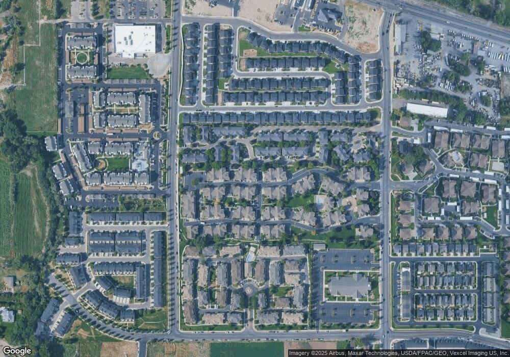
Map
Nearby Homes
- 1542 W 110 N
- 1584 W 110 N
- 1512 W 50 N
- 1559 W 50 N
- 1593 W 220 N
- 1429 W 110 N
- 1406 W 50 N
- 1541 W 250 N
- 1525 W 300 N
- 150 N 1300 W
- 295 N 1580 W
- 293 N 1630 W
- 1267 W 20 S
- 1249 W Cambria Dr Unit 101
- 1598 W 220 N
- 1775 W 120 S Unit 54
- 123 N Romney Ln Unit 103
- 29 S 2000 W
- 1795 W 120 S Unit 52
- 128 S 1700 W Unit 12