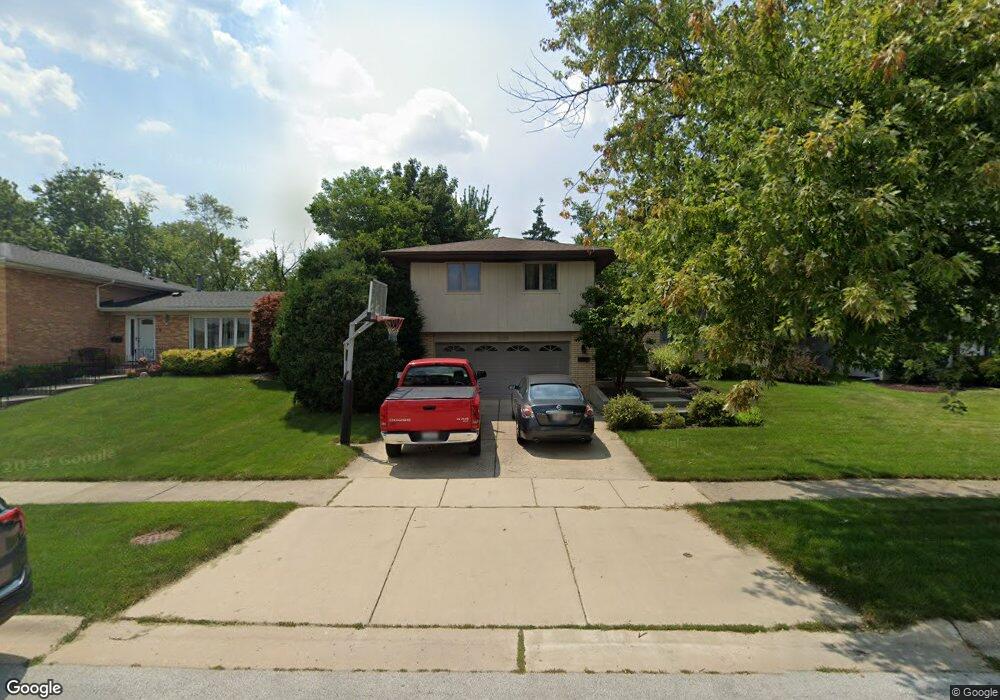
15320 Maple Dr Oak Forest, IL 60452
Estimated Value: $364,069 - $375,000
4
Beds
3
Baths
1,597
Sq Ft
$231/Sq Ft
Est. Value
About This Home
This home is located at 15320 Maple Dr, Oak Forest, IL 60452 and is currently estimated at $368,517, approximately $230 per square foot. 15320 Maple Dr is a home located in Cook County with nearby schools including Fierke Education Center, Central Middle School, and Victor J Andrew High School.
Ownership History
Date
Name
Owned For
Owner Type
Purchase Details
Closed on
Jun 18, 2003
Sold by
Strubbe Joseph A and Strubbe Mary Beth
Bought by
Lunak Gregory and Lunak Peggy
Current Estimated Value
Home Financials for this Owner
Home Financials are based on the most recent Mortgage that was taken out on this home.
Original Mortgage
$180,000
Outstanding Balance
$74,438
Interest Rate
5.36%
Mortgage Type
Unknown
Estimated Equity
$294,079
Create a Home Valuation Report for This Property
The Home Valuation Report is an in-depth analysis detailing your home's value as well as a comparison with similar homes in the area
Home Values in the Area
Average Home Value in this Area
Purchase History
| Date | Buyer | Sale Price | Title Company |
|---|---|---|---|
| Lunak Gregory | $265,000 | Multiple |
Source: Public Records
Mortgage History
| Date | Status | Borrower | Loan Amount |
|---|---|---|---|
| Open | Lunak Gregory | $180,000 |
Source: Public Records
Tax History
| Year | Tax Paid | Tax Assessment Tax Assessment Total Assessment is a certain percentage of the fair market value that is determined by local assessors to be the total taxable value of land and additions on the property. | Land | Improvement |
|---|---|---|---|---|
| 2025 | $8,709 | $31,000 | $4,301 | $26,699 |
| 2024 | $8,709 | $31,000 | $4,301 | $26,699 |
| 2023 | $7,160 | $31,000 | $4,301 | $26,699 |
| 2022 | $7,160 | $21,573 | $3,740 | $17,833 |
| 2021 | $7,020 | $21,572 | $3,740 | $17,832 |
| 2020 | $7,054 | $21,572 | $3,740 | $17,832 |
| 2019 | $7,702 | $23,205 | $3,366 | $19,839 |
| 2018 | $7,482 | $23,205 | $3,366 | $19,839 |
| 2017 | $7,248 | $23,205 | $3,366 | $19,839 |
| 2016 | $6,940 | $20,624 | $2,992 | $17,632 |
| 2015 | $6,750 | $20,624 | $2,992 | $17,632 |
| 2014 | $6,585 | $20,624 | $2,992 | $17,632 |
| 2013 | $6,859 | $23,331 | $2,992 | $20,339 |
Source: Public Records
Map
Nearby Homes
- 15113 Willow Ln
- 15459 S 70th Ct
- 6950 Heritage Cir Unit 3C
- 6970 Heritage Cir Unit 52A
- 6970 Heritage Cir Unit 53A
- 7010 Heritage Cir
- 7025 Heritage Cir Unit 2A
- 15601 Ridgeland Ave
- 7221 W 154th St Unit 2
- 7224 W 153rd St Unit 44
- 6252 157th St
- 15409 S 73rd Ave Unit 6
- 6151 Victoria Dr
- 15545 Mimosa Dr
- 3701 S Harlem Ave
- 7304 Evergreen Dr Unit 2B
- 15140 Evergreen Dr Unit 3D
- 15602 Violet Ct Unit 31
- 15607 Petunia Ct Unit 29
- 15414 Las Flores Ln
Your Personal Tour Guide
Ask me questions while you tour the home.