15325 Nc Highway 801 Mount Ulla, NC 28125
Estimated Value: $505,665 - $852,000
4
Beds
3
Baths
3,457
Sq Ft
$180/Sq Ft
Est. Value
About This Home
This home is located at 15325 Nc Highway 801, Mount Ulla, NC 28125 and is currently estimated at $622,888, approximately $180 per square foot. 15325 Nc Highway 801 is a home located in Rowan County with nearby schools including Mount Ulla Elementary School, West Rowan Middle School, and West Rowan High School.
Ownership History
Date
Name
Owned For
Owner Type
Purchase Details
Closed on
Sep 16, 2016
Sold by
Robinson Richard Wayne
Bought by
Wiles Coy R
Current Estimated Value
Home Financials for this Owner
Home Financials are based on the most recent Mortgage that was taken out on this home.
Original Mortgage
$392,000
Outstanding Balance
$313,115
Interest Rate
3.43%
Mortgage Type
New Conventional
Estimated Equity
$309,773
Purchase Details
Closed on
Apr 5, 2002
Bought by
Robinson Richard Wayne
Create a Home Valuation Report for This Property
The Home Valuation Report is an in-depth analysis detailing your home's value as well as a comparison with similar homes in the area
Home Values in the Area
Average Home Value in this Area
Purchase History
| Date | Buyer | Sale Price | Title Company |
|---|---|---|---|
| Wiles Coy R | $490,000 | None Available | |
| Robinson Richard Wayne | -- | -- |
Source: Public Records
Mortgage History
| Date | Status | Borrower | Loan Amount |
|---|---|---|---|
| Open | Wiles Coy R | $392,000 |
Source: Public Records
Tax History Compared to Growth
Tax History
| Year | Tax Paid | Tax Assessment Tax Assessment Total Assessment is a certain percentage of the fair market value that is determined by local assessors to be the total taxable value of land and additions on the property. | Land | Improvement |
|---|---|---|---|---|
| 2025 | $3,139 | $468,541 | $89,400 | $379,141 |
| 2024 | $3,139 | $468,541 | $89,400 | $379,141 |
| 2023 | $3,139 | $468,541 | $89,400 | $379,141 |
| 2022 | $2,460 | $329,090 | $69,640 | $259,450 |
| 2021 | $2,394 | $329,090 | $69,640 | $259,450 |
| 2020 | $2,394 | $329,090 | $69,640 | $259,450 |
| 2019 | $2,394 | $329,090 | $69,640 | $259,450 |
| 2018 | $2,165 | $300,069 | $69,640 | $230,429 |
| 2017 | $2,165 | $300,069 | $69,640 | $230,429 |
| 2016 | $2,165 | $300,069 | $69,640 | $230,429 |
| 2015 | $2,198 | $300,069 | $69,640 | $230,429 |
| 2014 | $1,935 | $273,031 | $69,640 | $203,391 |
Source: Public Records
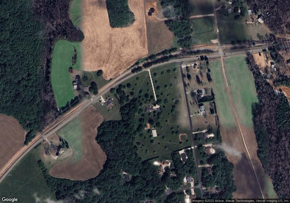
Map
Nearby Homes
- 795 French Belk Rd
- 335 Ridgewood Dr
- 175 Savannah Crossing Dr
- 1170 Gardenia Dr Unit 9
- 1230 Gardenia Dr Unit 12
- 1190 Gardenia Dr Unit 10
- 1150 Gardenia Dr Unit 8
- 1070 Gardenia Dr Unit 4
- 1327 Mount Ulla Hwy
- 267 Winthrow Creek Rd
- 785 Jones Rd
- 143 Jentri Way
- 1070 Saddle Back Ln
- 223 Scottish Dr
- 126 Jentri Way Unit 19
- Daffodil Plan at Brownstone Ridge
- Gardenia Plan at Brownstone Ridge
- Kensington Plan at Brownstone Ridge
- Townsend Plan at Brownstone Ridge
- Bridgeport Plan at Brownstone Ridge
- 15325 Nc Highway 801
- 15375 Nc Highway 801
- 165 Morrowfield Place
- 195 Morrowfield Place
- 225 Morrowfield Place
- 1085 Jenkins Branch Ln
- 290 Morrowfield Place
- 290 Morrowfield Place Unit 25
- 105 Morrowfield Place
- 255 Morrowfield Place
- 15380 Nc Highway 801
- 285 Morrowfield Place
- 1086 Jenkins Branch Ln
- 320 Morrowfield Place
- 345 Morrowfield Place
- 120 Childers Rd
- 1033 Jenkins Branch Ln
- 1335 Childers Rd
- 15495 Nc Highway 801
- 1089 Jenkins Branch Ln