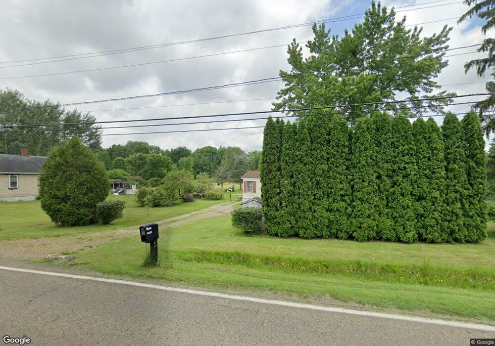
15328 Wadsworth Rittman Rd Rittman, OH 44270
Estimated Value: $127,000 - $278,000
2
Beds
1
Bath
832
Sq Ft
$215/Sq Ft
Est. Value
About This Home
This home is located at 15328 Wadsworth Rittman Rd, Rittman, OH 44270 and is currently estimated at $178,526, approximately $214 per square foot. 15328 Wadsworth Rittman Rd is a home located in Wayne County with nearby schools including Hazel Harvey Elementary School, Chippewa Intermediate School, and Chippewa Jr./Sr. High School.
Ownership History
Date
Name
Owned For
Owner Type
Purchase Details
Closed on
Aug 23, 2018
Sold by
Jpmorgan Chase Bank Na
Bought by
Mcallister Donald
Current Estimated Value
Purchase Details
Closed on
Apr 6, 2018
Sold by
Hershberger Adam S
Bought by
Jpmorgan Chase Bank Na
Purchase Details
Closed on
Nov 30, 2004
Sold by
Fisher Debrorah L
Bought by
Hershberger Adam S
Home Financials for this Owner
Home Financials are based on the most recent Mortgage that was taken out on this home.
Original Mortgage
$77,000
Interest Rate
5.82%
Mortgage Type
Unknown
Purchase Details
Closed on
Dec 15, 1995
Sold by
Parks Judith L
Bought by
Fisher William A and Fisher Deborah L
Home Financials for this Owner
Home Financials are based on the most recent Mortgage that was taken out on this home.
Original Mortgage
$25,500
Interest Rate
7.45%
Mortgage Type
New Conventional
Purchase Details
Closed on
Mar 9, 1990
Sold by
Osburn Lefa I
Bought by
Parks Judith L
Create a Home Valuation Report for This Property
The Home Valuation Report is an in-depth analysis detailing your home's value as well as a comparison with similar homes in the area
Home Values in the Area
Average Home Value in this Area
Purchase History
| Date | Buyer | Sale Price | Title Company |
|---|---|---|---|
| Mcallister Donald | $23,000 | First Ohio Title Agency Trac | |
| Jpmorgan Chase Bank Na | $25,000 | None Available | |
| Hershberger Adam S | $74,900 | -- | |
| Fisher William A | $25,500 | -- | |
| Parks Judith L | $22,500 | -- |
Source: Public Records
Mortgage History
| Date | Status | Borrower | Loan Amount |
|---|---|---|---|
| Previous Owner | Hershberger Adam S | $77,000 | |
| Previous Owner | Fisher William A | $25,500 |
Source: Public Records
Tax History Compared to Growth
Tax History
| Year | Tax Paid | Tax Assessment Tax Assessment Total Assessment is a certain percentage of the fair market value that is determined by local assessors to be the total taxable value of land and additions on the property. | Land | Improvement |
|---|---|---|---|---|
| 2024 | $1,085 | $29,060 | $20,870 | $8,190 |
| 2023 | $1,033 | $29,060 | $20,870 | $8,190 |
| 2022 | $771 | $19,900 | $14,290 | $5,610 |
| 2021 | $776 | $19,900 | $14,290 | $5,610 |
| 2020 | $783 | $19,900 | $14,290 | $5,610 |
| 2019 | $796 | $19,590 | $13,930 | $5,660 |
| 2018 | $789 | $19,590 | $13,930 | $5,660 |
| 2017 | $782 | $19,590 | $13,930 | $5,660 |
| 2016 | $763 | $18,840 | $13,400 | $5,440 |
| 2015 | $760 | $18,840 | $13,400 | $5,440 |
| 2014 | $667 | $18,840 | $13,400 | $5,440 |
| 2013 | $730 | $19,910 | $12,770 | $7,140 |
Source: Public Records
Map
Nearby Homes
- 0 E Ohio Ave Unit 5118655
- 247 E Sunset Dr
- 258 Industrial St
- 245 Industrial St
- 200 Industrial St
- 355 N Main St
- 34 Fairlawn Ave
- 243 Chelley Ln
- 42 N State St
- 1008 Barn Swallow Cir
- 16 S State St
- 1014 Marissa Dr
- 220 Country Meadow Ln
- 53 Grant St
- 109 W Sunset Dr
- Amberwood Plan at Mount Eaton Estates - Mount Eaton Estates
- Newberry Plan at Mount Eaton Estates - Mount Eaton Estates
- Ascend Plan at Mount Eaton Estates - Mount Eaton Estates
- Aspire Plan at Mount Eaton Estates - Mount Eaton Estates
- Fairview Plan at Mount Eaton Estates - Mount Eaton Estates
- 15328 Rittman Rd
- 15262 Rittman Rd
- 15376 Rittman Rd
- 15392 Wadsworth Rittman Rd
- 15392 Rittman Rd
- 15406 Wadsworth Rittman Rd
- 15406 Rittman Rd
- 15406 Rittman Rd
- 15238 Wadsworth Rittman Rd
- 15224 Wadsworth Rittman Rd
- 15212 Wadsworth Rittman Rd
- 15448 Wadsworth Rittman Rd
- 15194 Wadsworth Rittman Rd
- 1940 Eastern Rd
- 1930 Eastern Rd
- 15484 Rittman Rd
- 15484 Wadsworth Rittman Rd
- 1938 Eastern Rd
- 1878 Eastern Rd
- 1892 Eastern Rd