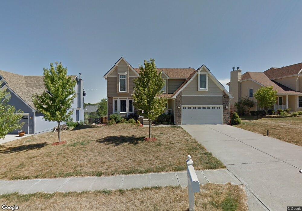
1533 Canterbury Ln Liberty, MO 64068
Estimated Value: $384,000 - $441,000
4
Beds
3
Baths
2,226
Sq Ft
$185/Sq Ft
Est. Value
About This Home
This home is located at 1533 Canterbury Ln, Liberty, MO 64068 and is currently estimated at $412,033, approximately $185 per square foot. 1533 Canterbury Ln is a home located in Clay County with nearby schools including Alexander Doniphan Elementary School, Liberty Middle School, and Liberty High School.
Ownership History
Date
Name
Owned For
Owner Type
Purchase Details
Closed on
May 12, 2010
Sold by
Luetke Matthew David and Luetke Stefani K
Bought by
Luetke Matthew David
Current Estimated Value
Home Financials for this Owner
Home Financials are based on the most recent Mortgage that was taken out on this home.
Original Mortgage
$148,000
Interest Rate
5.14%
Mortgage Type
New Conventional
Create a Home Valuation Report for This Property
The Home Valuation Report is an in-depth analysis detailing your home's value as well as a comparison with similar homes in the area
Home Values in the Area
Average Home Value in this Area
Purchase History
| Date | Buyer | Sale Price | Title Company |
|---|---|---|---|
| Luetke Matthew David | -- | Truhome Title Solutions |
Source: Public Records
Mortgage History
| Date | Status | Borrower | Loan Amount |
|---|---|---|---|
| Closed | Luetke Matthew David | $148,000 |
Source: Public Records
Tax History Compared to Growth
Tax History
| Year | Tax Paid | Tax Assessment Tax Assessment Total Assessment is a certain percentage of the fair market value that is determined by local assessors to be the total taxable value of land and additions on the property. | Land | Improvement |
|---|---|---|---|---|
| 2025 | $4,648 | $70,550 | -- | -- |
| 2024 | $4,648 | $60,440 | -- | -- |
| 2023 | $4,727 | $60,440 | $0 | $0 |
| 2022 | $4,031 | $50,880 | $0 | $0 |
| 2021 | $3,999 | $50,882 | $6,650 | $44,232 |
| 2020 | $3,346 | $39,980 | $0 | $0 |
| 2019 | $3,346 | $39,980 | $0 | $0 |
| 2018 | $3,149 | $36,940 | $0 | $0 |
| 2017 | $3,013 | $36,940 | $4,750 | $32,190 |
| 2016 | $3,013 | $35,680 | $4,750 | $30,930 |
| 2015 | $3,013 | $35,680 | $4,750 | $30,930 |
| 2014 | $2,898 | $34,050 | $4,370 | $29,680 |
Source: Public Records
Map
Nearby Homes
- 1537 Canterbury Ln
- 1733 Welleslay Ln
- 1327 Easton Ct
- 1507 Amesbury Ave
- 1323 Amesbury Ave
- 1304 Wellington Way
- 1218 Canterbury Ln
- 1124 Amesbury Ave
- 1331 Park Ln
- 1856 Arbor Trail
- 1836 Green Meadow Dr
- 2188 Heritage Ct
- McKinley Plan at Homestead of Liberty - Homestead
- Monroe Plan at Homestead of Liberty - Homestead
- Chestnut Plan at Homestead of Liberty - Homestead
- The Brooklyn Plan at Homestead of Liberty - Homestead
- Cypress Plan at Homestead of Liberty - Homestead
- The Linden Plan at Homestead of Liberty - Homestead
- Spruce Plan at Homestead of Liberty - Homestead
- Ashton Plan at Homestead of Liberty - Homestead
- 1529 Canterbury Ln
- 1542 Chauncey Ave
- 1538 Chauncey Ave
- 1541 Canterbury Ln
- 1525 Canterbury Ln
- 1546 Chauncey Ave
- 1526 Canterbury Ln
- 1530 Canterbury Ln
- 1522 Canterbury Ln
- 1545 Canterbury Ln
- 1518 Canterbury Ln
- 1534 Canterbury Ln
- 1550 Chauncey Ave
- 1538 Canterbury Ln
- 1549 Canterbury Ln
- 1621 Welleslay Ln
- 1549 Chauncey Ave
- 1521 Chauncey Ave
- 1545 Chauncey Ave
- 1625 Welleslay Ln