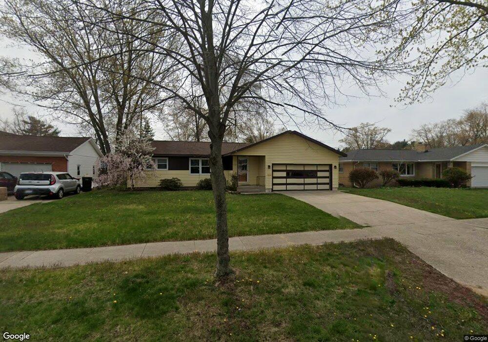
1533 Colonial Rd Muskegon, MI 49441
Roosevelt Park NeighborhoodEstimated Value: $222,000 - $262,000
3
Beds
2
Baths
1,264
Sq Ft
$194/Sq Ft
Est. Value
About This Home
This home is located at 1533 Colonial Rd, Muskegon, MI 49441 and is currently estimated at $244,862, approximately $193 per square foot. 1533 Colonial Rd is a home located in Muskegon County with nearby schools including Mona Shores High School, Muskegon Catholic Central School, and Broadway Baptist School.
Ownership History
Date
Name
Owned For
Owner Type
Purchase Details
Closed on
Mar 18, 2003
Sold by
Buckner Kris and Buckner Beth
Bought by
Kling Lisa K
Current Estimated Value
Home Financials for this Owner
Home Financials are based on the most recent Mortgage that was taken out on this home.
Original Mortgage
$40,000
Outstanding Balance
$17,972
Interest Rate
6.5%
Mortgage Type
Unknown
Estimated Equity
$226,890
Create a Home Valuation Report for This Property
The Home Valuation Report is an in-depth analysis detailing your home's value as well as a comparison with similar homes in the area
Home Values in the Area
Average Home Value in this Area
Purchase History
| Date | Buyer | Sale Price | Title Company |
|---|---|---|---|
| Kling Lisa K | $116,000 | -- |
Source: Public Records
Mortgage History
| Date | Status | Borrower | Loan Amount |
|---|---|---|---|
| Open | Kling Lisa K | $40,000 |
Source: Public Records
Tax History Compared to Growth
Tax History
| Year | Tax Paid | Tax Assessment Tax Assessment Total Assessment is a certain percentage of the fair market value that is determined by local assessors to be the total taxable value of land and additions on the property. | Land | Improvement |
|---|---|---|---|---|
| 2025 | $2,465 | $103,400 | $0 | $0 |
| 2024 | $946 | $92,600 | $0 | $0 |
| 2023 | $904 | $82,800 | $0 | $0 |
| 2022 | $2,248 | $71,600 | $0 | $0 |
| 2021 | $2,141 | $65,600 | $0 | $0 |
| 2020 | $2,116 | $61,400 | $0 | $0 |
| 2019 | $2,077 | $59,200 | $0 | $0 |
| 2018 | $2,028 | $52,200 | $0 | $0 |
| 2017 | $1,982 | $52,300 | $0 | $0 |
| 2016 | $753 | $46,100 | $0 | $0 |
| 2015 | -- | $39,900 | $0 | $0 |
| 2014 | -- | $44,500 | $0 | $0 |
| 2013 | -- | $41,900 | $0 | $0 |
Source: Public Records
Map
Nearby Homes
- 1480 Marlboro Rd
- 2881 Cornell Ct
- 3063 Glenside Blvd
- 1521 Cornell Rd
- 1377 Princeton Rd
- 1752 Bonneville Dr
- 3043 Westland Rd
- 1733 Woodside Rd
- 3246 Royal Oak Rd
- 3465 Rood Rd
- 1936 Lawnel Ave
- 1059 W Summit Ave
- 2545 Glenside Blvd
- 1405 Winchester Dr
- 3283 Mccracken St
- 1729 Winchester Dr
- 1243 Crandall Ave
- 1690 Winchester Dr
- 1555 Beardsley Ave
- 1936 W Sherman Blvd
- 1543 Colonial Rd
- 1534 Chapel Rd
- 1523 Colonial Rd
- 1544 Chapel Rd
- 1524 Chapel Rd
- 1553 Colonial Rd
- 1515 Colonial Rd
- 1528 Colonial Rd
- 1538 Colonial Rd
- 1554 Chapel Rd
- 1518 Colonial Rd
- 1516 Chapel Rd
- 1501 Colonial Rd
- 1550 Colonial Rd
- 1508 Colonial Rd
- 1502 Chapel Rd
- 3042 Chapel Ct
- 3030 Chapel Ct
- 1496 Colonial Rd
- 1562 Colonial Rd