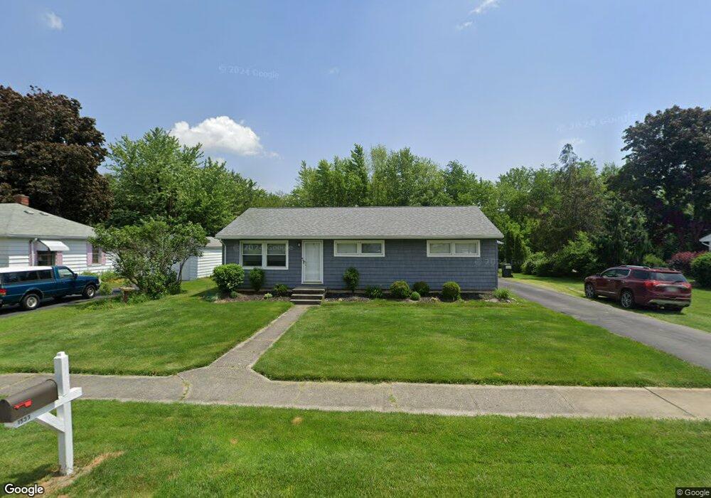
1533 Edwards Dr Fremont, OH 43420
Estimated Value: $148,120 - $162,000
3
Beds
1
Bath
1,100
Sq Ft
$140/Sq Ft
Est. Value
About This Home
This home is located at 1533 Edwards Dr, Fremont, OH 43420 and is currently estimated at $154,530, approximately $140 per square foot. 1533 Edwards Dr is a home located in Sandusky County with nearby schools including Fremont Ross High School, Bishop Hoffman Catholic School - This is St Joe's School now, and St. Joseph School.
Ownership History
Date
Name
Owned For
Owner Type
Purchase Details
Closed on
Apr 2, 1996
Sold by
Mangette Jeffrey G
Bought by
Ackerman Richard A and Ackerman Linda S
Current Estimated Value
Home Financials for this Owner
Home Financials are based on the most recent Mortgage that was taken out on this home.
Original Mortgage
$68,000
Outstanding Balance
$3,088
Interest Rate
6.98%
Mortgage Type
New Conventional
Estimated Equity
$151,442
Create a Home Valuation Report for This Property
The Home Valuation Report is an in-depth analysis detailing your home's value as well as a comparison with similar homes in the area
Home Values in the Area
Average Home Value in this Area
Purchase History
| Date | Buyer | Sale Price | Title Company |
|---|---|---|---|
| Ackerman Richard A | $68,000 | -- |
Source: Public Records
Mortgage History
| Date | Status | Borrower | Loan Amount |
|---|---|---|---|
| Open | Ackerman Richard A | $68,000 |
Source: Public Records
Tax History Compared to Growth
Tax History
| Year | Tax Paid | Tax Assessment Tax Assessment Total Assessment is a certain percentage of the fair market value that is determined by local assessors to be the total taxable value of land and additions on the property. | Land | Improvement |
|---|---|---|---|---|
| 2024 | $1,536 | $40,780 | $8,050 | $32,730 |
| 2023 | $1,536 | $32,620 | $6,440 | $26,180 |
| 2022 | $1,306 | $32,620 | $6,440 | $26,180 |
| 2021 | $1,347 | $32,620 | $6,440 | $26,180 |
| 2020 | $1,241 | $29,540 | $6,440 | $23,100 |
| 2019 | $1,147 | $27,340 | $6,440 | $20,900 |
| 2018 | $1,149 | $27,340 | $6,440 | $20,900 |
| 2017 | $1,074 | $25,450 | $6,440 | $19,010 |
| 2016 | $946 | $25,450 | $6,440 | $19,010 |
| 2015 | $931 | $25,450 | $6,440 | $19,010 |
| 2014 | $1,157 | $30,140 | $7,910 | $22,230 |
| 2013 | $1,132 | $30,140 | $7,910 | $22,230 |
Source: Public Records
Map
Nearby Homes
- 711 Bloom Rd
- 263 Saint Paul Dr
- 335 Cottage St
- 612 2nd St
- 251 Saint Paul Dr
- 315 Ethan Dr
- 318 Ethan Dr
- 533 Sandusky Ave Unit 535
- 230 N Pennsylvania Ave
- 199 Saint Thomas Dr
- 433 Sandusky Ave
- 1730 Port Clinton Rd Unit 41
- 1730 Port Clinton Rd
- 1730 Port Clinton Rd Unit 33
- 322 4th St
- 340 340 Sandusky Ave
- 714 E State St
- 2248 E State St
- 224 Sandusky Ave Unit 226
- 309 S Collinwood Blvd
- 1525 Edwards Dr
- 1607 Edwards Dr
- 1532 Edwards Dr
- 1524 Edwards Dr
- 1613 Edwards Dr
- 1515 Edwards Dr
- 1608 Edwards Dr
- 1621 Edwards Dr
- 1503 Edwards Dr
- 1508 Edwards Dr
- 2053 N 5th St
- 2037 N Fifth
- 2037 N 5th St
- 1631 Edwards Dr
- 2021 N 5th St
- 1433 Edwards Dr
- 2163 Us Highway 6 E
- 1426 Edwards Dr
- 1419 Edwards Dr
- 2119 N 5th St