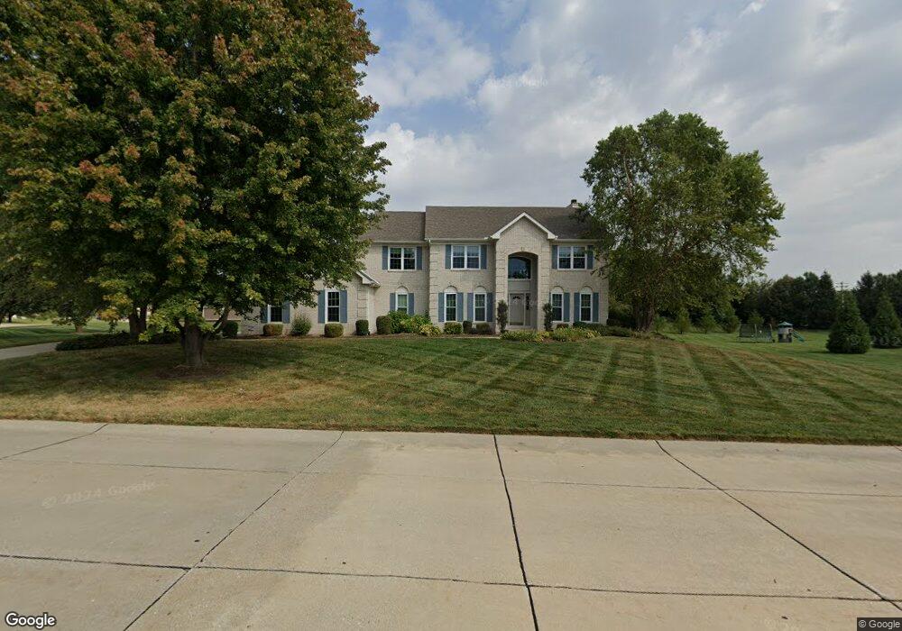
1533 Lyonshall Blvd Belleville, IL 62226
Estimated Value: $468,583 - $579,000
Studio
--
Bath
1,596
Sq Ft
$328/Sq Ft
Est. Value
About This Home
This home is located at 1533 Lyonshall Blvd, Belleville, IL 62226 and is currently estimated at $523,146, approximately $327 per square foot. 1533 Lyonshall Blvd is a home located in St. Clair County with nearby schools including Wolf Branch Elementary School, Wolf Branch Middle School, and Elite Scholars STEAM Academy.
Ownership History
Date
Name
Owned For
Owner Type
Purchase Details
Closed on
May 8, 2001
Sold by
Fulford Construction Inc
Bought by
Long Matthew A and Long Beth E
Current Estimated Value
Home Financials for this Owner
Home Financials are based on the most recent Mortgage that was taken out on this home.
Original Mortgage
$213,650
Outstanding Balance
$79,540
Interest Rate
6.99%
Mortgage Type
Purchase Money Mortgage
Estimated Equity
$443,606
Create a Home Valuation Report for This Property
The Home Valuation Report is an in-depth analysis detailing your home's value as well as a comparison with similar homes in the area
Home Values in the Area
Average Home Value in this Area
Purchase History
| Date | Buyer | Sale Price | Title Company |
|---|---|---|---|
| Long Matthew A | $267,500 | Chicago Title |
Source: Public Records
Mortgage History
| Date | Status | Borrower | Loan Amount |
|---|---|---|---|
| Open | Long Matthew A | $213,650 |
Source: Public Records
Tax History
| Year | Tax Paid | Tax Assessment Tax Assessment Total Assessment is a certain percentage of the fair market value that is determined by local assessors to be the total taxable value of land and additions on the property. | Land | Improvement |
|---|---|---|---|---|
| 2024 | $10,297 | $139,107 | $26,524 | $112,583 |
| 2023 | $9,680 | $130,282 | $26,159 | $104,123 |
| 2022 | $8,991 | $118,654 | $23,824 | $94,830 |
| 2021 | $8,754 | $113,784 | $22,846 | $90,938 |
| 2020 | $8,485 | $105,965 | $21,276 | $84,689 |
| 2019 | $8,382 | $107,592 | $22,125 | $85,467 |
| 2018 | $8,150 | $104,845 | $21,560 | $83,285 |
| 2017 | $3,992 | $102,054 | $20,986 | $81,068 |
| 2016 | $7,862 | $98,537 | $20,263 | $78,274 |
| 2014 | $7,967 | $106,416 | $19,542 | $86,874 |
| 2013 | $8,090 | $106,416 | $19,542 | $86,874 |
Source: Public Records
Map
Nearby Homes
- 1022 Barteau Dr
- 3434 Whistling Cove
- 517 E Waters Edge Dr
- 40 Clinton Hill Dr
- 4285 Red Field Dr
- 15 Sandpiper Dr
- 4480 Biverton Dr
- 3804 Tanbark Dr
- 5194 Depaul Dr
- 1232 Carleton Ln
- 5231 Duke Dr
- 1214 Carleton Ln
- 9 Lake Christine Dr
- 984 Northwestern Ave
- 505 Thistle Ln
- 41 Village Dr
- 5352 Tulane Ct
- 330 Radcliff Rd
- 6 & 10 Country Hill Ln
- 5425 Duke Dr
- 1537 Lyonshall Blvd
- 4104 Abinger Place
- 4101 Abinger Place
- 4096 Redcastle Place
- 4101 Old Collinsville Rd
- 4105 Abinger Place
- 4102 Arundel Place
- 1536 Lyonshall Blvd
- 4108 Abinger Place
- 4092 Redcastle Place
- 1306 Messinger Trail
- 4106 Arundel Place
- 4109 Abinger Place
- 4093 Old Schoolhouse Ct
- 4087 Redcastle Place
- 1308 Lyonshall Blvd
- 4088 Redcastle Place
- 4110 Arundel Place
- 4086 Old Schoolhouse Ct
- 4103 Arundel Place
Your Personal Tour Guide
Ask me questions while you tour the home.