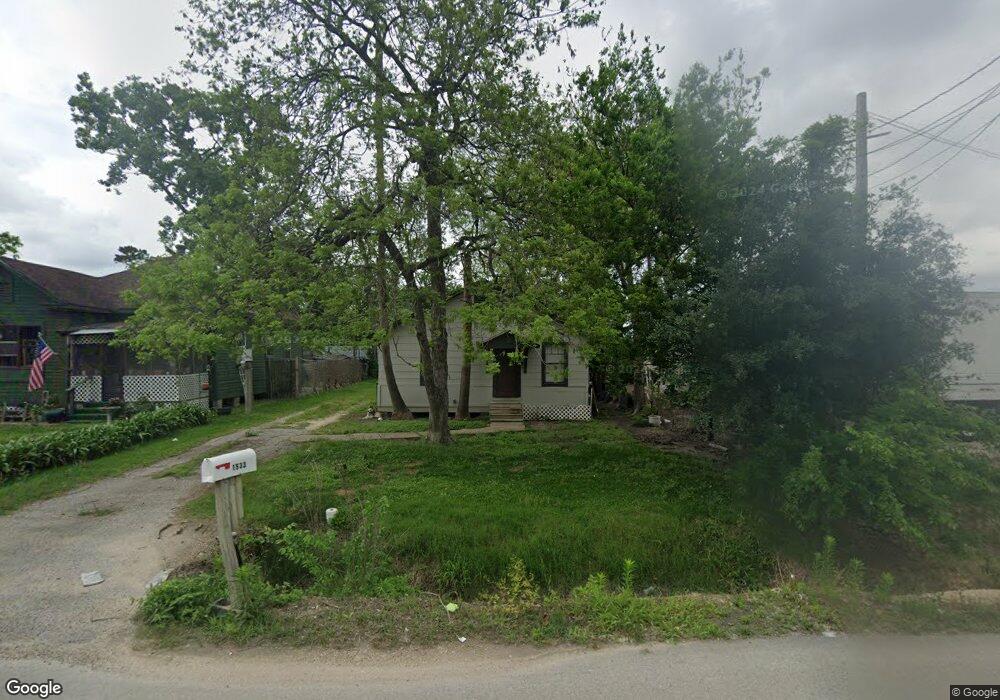
1533 Margaret St Houston, TX 77093
Eastex-Jensen NeighborhoodEstimated Value: $138,599 - $241,000
2
Beds
1
Bath
1,248
Sq Ft
$153/Sq Ft
Est. Value
About This Home
This home is located at 1533 Margaret St, Houston, TX 77093 and is currently estimated at $191,400, approximately $153 per square foot. 1533 Margaret St is a home located in Harris County with nearby schools including Coop Elementary School, Patrick Henry Middle School, and Sam Houston Math, Science & Technology Center.
Ownership History
Date
Name
Owned For
Owner Type
Purchase Details
Closed on
Feb 2, 2006
Sold by
Carl M Angelone Family Ltd
Bought by
Ruiz Onofre H and Ruiz Julieta G
Current Estimated Value
Home Financials for this Owner
Home Financials are based on the most recent Mortgage that was taken out on this home.
Original Mortgage
$35,300
Interest Rate
6.19%
Mortgage Type
Seller Take Back
Purchase Details
Closed on
Oct 18, 2004
Sold by
Angelone Family Trust
Bought by
Carl M Angelone Family Ltd
Create a Home Valuation Report for This Property
The Home Valuation Report is an in-depth analysis detailing your home's value as well as a comparison with similar homes in the area
Home Values in the Area
Average Home Value in this Area
Purchase History
| Date | Buyer | Sale Price | Title Company |
|---|---|---|---|
| Ruiz Onofre H | -- | None Available | |
| Carl M Angelone Family Ltd | -- | -- |
Source: Public Records
Mortgage History
| Date | Status | Borrower | Loan Amount |
|---|---|---|---|
| Previous Owner | Ruiz Onofre H | $35,300 |
Source: Public Records
Tax History Compared to Growth
Tax History
| Year | Tax Paid | Tax Assessment Tax Assessment Total Assessment is a certain percentage of the fair market value that is determined by local assessors to be the total taxable value of land and additions on the property. | Land | Improvement |
|---|---|---|---|---|
| 2025 | $633 | $88,407 | $55,863 | $32,544 |
| 2024 | $633 | $100,574 | $52,320 | $48,254 |
| 2023 | $633 | $81,723 | $40,875 | $40,848 |
| 2022 | $1,173 | $67,560 | $34,063 | $33,497 |
| 2021 | $1,129 | $53,742 | $24,525 | $29,217 |
| 2020 | $1,066 | $51,908 | $24,525 | $27,383 |
| 2019 | $1,013 | $51,908 | $24,525 | $27,383 |
| 2018 | $437 | $36,396 | $18,803 | $17,593 |
| 2017 | $920 | $36,396 | $18,803 | $17,593 |
| 2016 | $920 | $36,396 | $18,803 | $17,593 |
| 2015 | $536 | $34,689 | $14,988 | $19,701 |
| 2014 | $536 | $34,689 | $14,988 | $19,701 |
Source: Public Records
Map
Nearby Homes
- 1002 Grenfell Ln
- 9910 E Hardy Rd
- 10514 Exeter St
- 10512 Exeter St
- 1829 Skinner Rd
- 11314 Courtshire Rd
- 11514 Courtshire Rd
- 10022 E Hardy Rd
- 513 Mayford St
- 606 Cresline St
- 11026 Catamore St
- 11018 Catamore St
- 1908 Little York Rd
- 401 Cresline St
- 1105 Soren Ln
- 1802 Kowis St
- 11334 Carla St
- 1731 Schilder Dr
- 2315 Langley Rd
- 2332 Margaret St
- 1529 Margaret St
- 1525 Margaret St
- 1521 Margaret St
- 1522 Margaret St
- 1606 Margaret St
- 1518 Margaret St
- 1503 Margaret St
- 10432 Michulka Ln
- 10522 E Hardy Rd
- 10427 Michulka Ln
- 10428 Michulka Ln
- 10524 E Hardy Rd
- 10514 E Hardy Rd
- 10518 E Hardy Rd
- 10448 E Hardy Rd
- 10536 E Hardy Rd
- 1530 Skinner Rd
- 1625 Margaret St
- 1602 Skinner Rd
- 1635 Margaret St