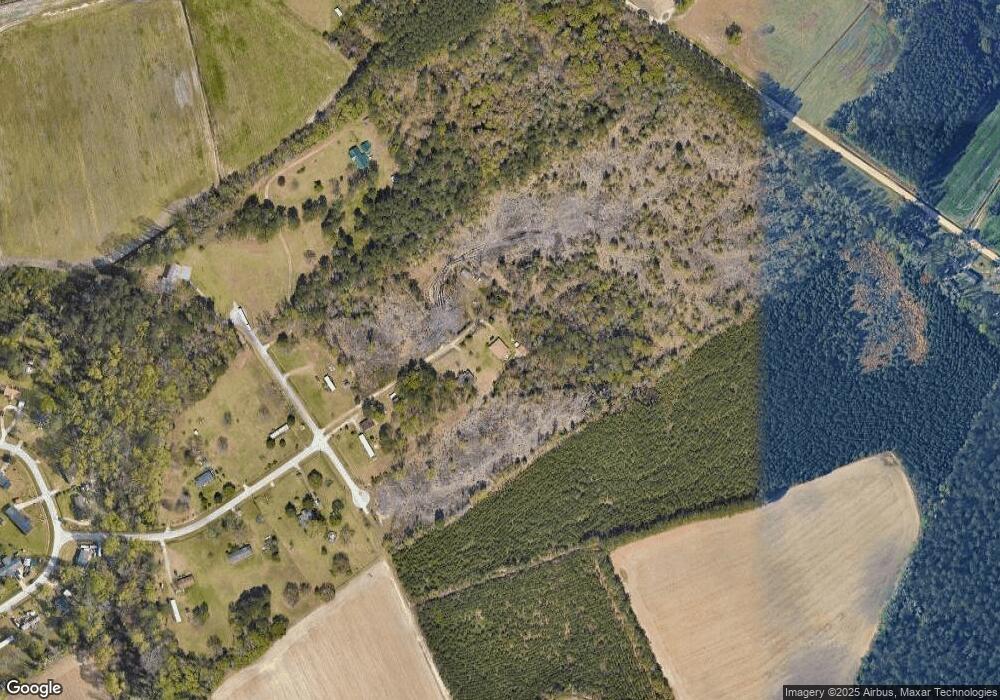
1533 Shanndora Dr Darlington, SC 29532
Estimated Value: $160,000 - $236,000
3
Beds
2
Baths
1,806
Sq Ft
$113/Sq Ft
Est. Value
About This Home
This home is located at 1533 Shanndora Dr, Darlington, SC 29532 and is currently estimated at $203,840, approximately $112 per square foot. 1533 Shanndora Dr is a home located in Darlington County with nearby schools including J.L. Cain Elementary School, J. L. Cain Elementary, and Brunson-Dargan Elementary School.
Ownership History
Date
Name
Owned For
Owner Type
Purchase Details
Closed on
Aug 24, 2016
Sold by
Blanks Clarence
Bought by
Blanks Realty Group Llc
Current Estimated Value
Purchase Details
Closed on
Mar 27, 2014
Sold by
Shannon Paul and Shannon Frances
Bought by
Adams Kevin R
Home Financials for this Owner
Home Financials are based on the most recent Mortgage that was taken out on this home.
Original Mortgage
$81,530
Interest Rate
4.4%
Mortgage Type
Future Advance Clause Open End Mortgage
Create a Home Valuation Report for This Property
The Home Valuation Report is an in-depth analysis detailing your home's value as well as a comparison with similar homes in the area
Home Values in the Area
Average Home Value in this Area
Purchase History
| Date | Buyer | Sale Price | Title Company |
|---|---|---|---|
| Blanks Realty Group Llc | -- | -- | |
| Adams Kevin R | $79,900 | -- |
Source: Public Records
Mortgage History
| Date | Status | Borrower | Loan Amount |
|---|---|---|---|
| Previous Owner | Adams Kevin R | $81,530 |
Source: Public Records
Tax History Compared to Growth
Tax History
| Year | Tax Paid | Tax Assessment Tax Assessment Total Assessment is a certain percentage of the fair market value that is determined by local assessors to be the total taxable value of land and additions on the property. | Land | Improvement |
|---|---|---|---|---|
| 2024 | $462 | $4,160 | $1,160 | $3,000 |
| 2023 | $739 | $3,890 | $1,160 | $2,730 |
| 2022 | $739 | $3,890 | $1,160 | $2,730 |
| 2021 | $824 | $4,230 | $1,160 | $3,070 |
| 2020 | $503 | $4,230 | $1,160 | $3,070 |
| 2019 | $504 | $4,230 | $1,160 | $3,070 |
| 2018 | $485 | $4,030 | $1,160 | $2,870 |
| 2017 | $359 | $3,690 | $1,160 | $2,530 |
| 2016 | $312 | $2,750 | $220 | $2,530 |
| 2013 | $288 | $2,810 | $280 | $2,530 |
Source: Public Records
Map
Nearby Homes
- 128 Spring Heights Cir
- 1604 Cashua Ferry Rd
- 1612 Cashua Ferry Rd
- 303 Wyandot St
- 1627 Cashua Ferry Rd
- TBD Wildshall Rd
- Lot 13 & 00 Overlook Dr
- 108 Wyandot St
- 9 Country Club Rd
- 54 Country Club Rd
- 56 Country Club Rd
- 58 Country Club Rd
- 55 Country Club Rd
- 57 Country Club Rd
- 59 Country Club Rd
- 213 Green Dr
- 601 Cashua Ferry Rd
- TBD Green Dr
- 13 Tee Cir
- 14 Tee Cir
- 1521 Shanndora Dr
- 801 Bayfield Dr
- 717 Bayfield Dr
- 805 Bayfield Dr
- 709 Bayfield Dr
- 1529 Windsor Dr
- 1520 Windsor Dr
- 1521 Windsor Dr
- 700 Bayfield Dr
- 513 Coggeshall Rd
- 725 Coggeshall Rd
- 1466 York Square
- 511 Coggeshall Rd
- 805 Coggeshall Rd
- 1512 York Square
- 1462 York Square
- 1503 York Square
- 1516 York Square
- 1453 York Square
- 715 Bayfield Dr
