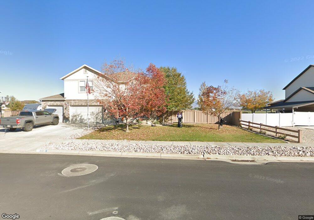
1533 W 2500 S Syracuse, UT 84075
Estimated Value: $466,760 - $596,000
3
Beds
2
Baths
1,219
Sq Ft
$434/Sq Ft
Est. Value
About This Home
This home is located at 1533 W 2500 S, Syracuse, UT 84075 and is currently estimated at $528,440, approximately $433 per square foot. 1533 W 2500 S is a home located in Davis County with nearby schools including Cook School, Legacy Junior High School, and Clearfield High School.
Ownership History
Date
Name
Owned For
Owner Type
Purchase Details
Closed on
Sep 23, 1999
Sold by
Countrywest Construction & Real Estate I
Bought by
Porter Russell G and Porter Angela N
Current Estimated Value
Home Financials for this Owner
Home Financials are based on the most recent Mortgage that was taken out on this home.
Original Mortgage
$130,580
Outstanding Balance
$39,515
Interest Rate
8.09%
Mortgage Type
FHA
Estimated Equity
$488,925
Purchase Details
Closed on
Jul 6, 1999
Sold by
Bretwood Co Inc
Bought by
Countrywest Const & Real Estate Inc
Create a Home Valuation Report for This Property
The Home Valuation Report is an in-depth analysis detailing your home's value as well as a comparison with similar homes in the area
Home Values in the Area
Average Home Value in this Area
Purchase History
| Date | Buyer | Sale Price | Title Company |
|---|---|---|---|
| Porter Russell G | -- | Bonneville Title Company Inc | |
| Countrywest Const & Real Estate Inc | -- | Security Title Company |
Source: Public Records
Mortgage History
| Date | Status | Borrower | Loan Amount |
|---|---|---|---|
| Open | Porter Russell G | $130,580 |
Source: Public Records
Tax History Compared to Growth
Tax History
| Year | Tax Paid | Tax Assessment Tax Assessment Total Assessment is a certain percentage of the fair market value that is determined by local assessors to be the total taxable value of land and additions on the property. | Land | Improvement |
|---|---|---|---|---|
| 2025 | $2,508 | $242,000 | $123,707 | $118,293 |
| 2024 | $2,389 | $232,100 | $101,129 | $130,971 |
| 2023 | $2,237 | $396,000 | $140,978 | $255,022 |
| 2022 | $2,415 | $234,300 | $81,315 | $152,985 |
| 2021 | $2,144 | $322,000 | $120,031 | $201,969 |
| 2020 | $1,919 | $279,000 | $105,154 | $173,846 |
| 2019 | $1,839 | $264,000 | $102,057 | $161,943 |
| 2018 | $1,790 | $255,000 | $98,955 | $156,045 |
| 2016 | $1,513 | $113,080 | $38,008 | $75,072 |
| 2015 | $1,547 | $110,110 | $38,008 | $72,102 |
| 2014 | $1,584 | $114,866 | $38,008 | $76,858 |
| 2013 | -- | $102,708 | $32,054 | $70,654 |
Source: Public Records
Map
Nearby Homes
- 2742 S Allison Way Unit 212
- 1667 W 2770 S Unit 206
- 2734 S Allison Way Unit 213
- 1315 W 2325 S
- 1280 W 2800 S
- 1295 W 2325 S
- 1306 W 2325 S
- 1286 W 2325 S
- 2208 W 2615 S Unit 141
- 2198 W 2615 S Unit 140
- 2158 W 2615 S Unit 137
- 1276 W 2325 S
- 2480 S 1150 W
- 2766 S 1200 W
- 1137 W 2500 S
- 2194 S 1800 W
- 2355 S 1230 W
- 1196 W 2325 S
- 2958 S 1320 W
- 2650 S 2000 W