


$69,000
- 4 Beds
- 1 Bath
- 2,010 Sq Ft
- 624 12th St
- Port Huron, MI
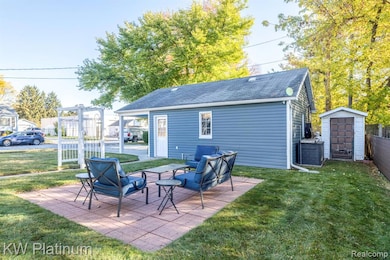
This large family home is priced to sell quickly! Spacious living areas w/new laminate flooring in LR/DR and partial renovations to the bathroom. The rest is need of further remodeling. The size of the 4 rooms upstairs will amaze you. They're huge! New central air unit, newer furnace and updated electrical box. Privacy fenced back yard offers ample parking for boats, RV's or trailers w/large
Tom Schrader KW Platinum Port Huron