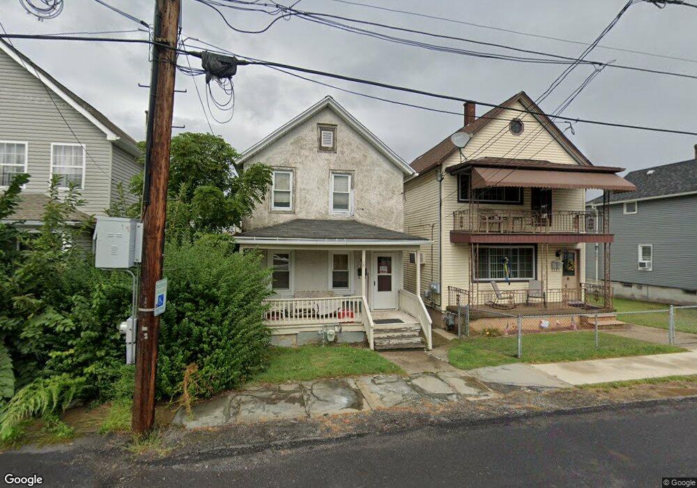
1534 Hawthorne St Scranton, PA 18504
Tripp's Park NeighborhoodEstimated Value: $183,597 - $282,000
--
Bed
--
Bath
1,460
Sq Ft
$174/Sq Ft
Est. Value
About This Home
This home is located at 1534 Hawthorne St, Scranton, PA 18504 and is currently estimated at $254,149, approximately $174 per square foot. 1534 Hawthorne St is a home located in Lackawanna County with nearby schools including Longan Elementary School, Adams Elementary School, and Isaac Tripp Elementary School.
Ownership History
Date
Name
Owned For
Owner Type
Purchase Details
Closed on
Sep 23, 2016
Sold by
Granko Jamie Lewis
Bought by
Kosko Mark E
Current Estimated Value
Home Financials for this Owner
Home Financials are based on the most recent Mortgage that was taken out on this home.
Original Mortgage
$101,134
Outstanding Balance
$80,963
Interest Rate
3.5%
Mortgage Type
FHA
Estimated Equity
$173,186
Purchase Details
Closed on
Apr 7, 2004
Bought by
Granko Jamie Lewis
Create a Home Valuation Report for This Property
The Home Valuation Report is an in-depth analysis detailing your home's value as well as a comparison with similar homes in the area
Home Values in the Area
Average Home Value in this Area
Purchase History
| Date | Buyer | Sale Price | Title Company |
|---|---|---|---|
| Kosko Mark E | $103,000 | None Available | |
| Granko Jamie Lewis | $79,700 | -- |
Source: Public Records
Mortgage History
| Date | Status | Borrower | Loan Amount |
|---|---|---|---|
| Open | Kosko Mark E | $101,134 |
Source: Public Records
Tax History Compared to Growth
Tax History
| Year | Tax Paid | Tax Assessment Tax Assessment Total Assessment is a certain percentage of the fair market value that is determined by local assessors to be the total taxable value of land and additions on the property. | Land | Improvement |
|---|---|---|---|---|
| 2025 | $3,276 | $10,500 | $1,150 | $9,350 |
| 2024 | $2,987 | $10,500 | $1,150 | $9,350 |
| 2023 | $2,987 | $10,500 | $1,150 | $9,350 |
| 2022 | $2,921 | $10,500 | $1,150 | $9,350 |
| 2021 | $2,921 | $10,500 | $1,150 | $9,350 |
| 2020 | $2,864 | $10,500 | $1,150 | $9,350 |
| 2019 | $2,692 | $10,500 | $1,150 | $9,350 |
| 2018 | $2,692 | $10,500 | $1,150 | $9,350 |
| 2017 | $2,643 | $10,500 | $1,150 | $9,350 |
| 2016 | $740 | $10,500 | $1,150 | $9,350 |
| 2015 | $1,636 | $10,500 | $1,150 | $9,350 |
| 2014 | -- | $10,500 | $1,150 | $9,350 |
Source: Public Records
Map
Nearby Homes
- 1425 Bulwer St
- 991 N Sumner Ave Unit 1/2 L 13
- 1431 Dorothy St
- 1727 Dorothy St
- 116 Little Spike Way Unit L 40
- 1501 Farr St
- 1235 N Sumner Ave
- 1008 Mount Vernon Ave
- 1126 W Gibson St
- 0 Philo St Unit GSBSC4763
- 1227 Providence Rd
- 1327 Oram St
- 833 Powderly Ct
- 2133 Dorothy St
- 1402 N Rebecca Ave
- 656 Philo St
- 1819 Clearview St Unit L 109
- 1311 Short Ave
- 942 Providence Rd
- 938 Providence Rd
- 1604 Hawthorne St Unit L 15
- 1604 Hawthorne St
- 1606-1608 Hawthorne St
- 1606 Hawthorne St
- 1528 Hawthorne L 18 B H St
- 1526 Hawthorne St
- 1612 Hawthorne St
- 0 Hawthorne St
- 1601 Hawthorne St
- 1529 Hawthorne St Unit 1531
- 1605 Hawthorne St
- 1509 Thackery St
- 1527 Hawthorne St
- 1507 Thackery St
- 1505 Thackery St
- 1501 Hawthorne St
- 1620 Hawthorne St
- 1515 Thackery St Unit 1517
- 1446 Hawthorne St Unit 1448
- 1613 Hawthorne St